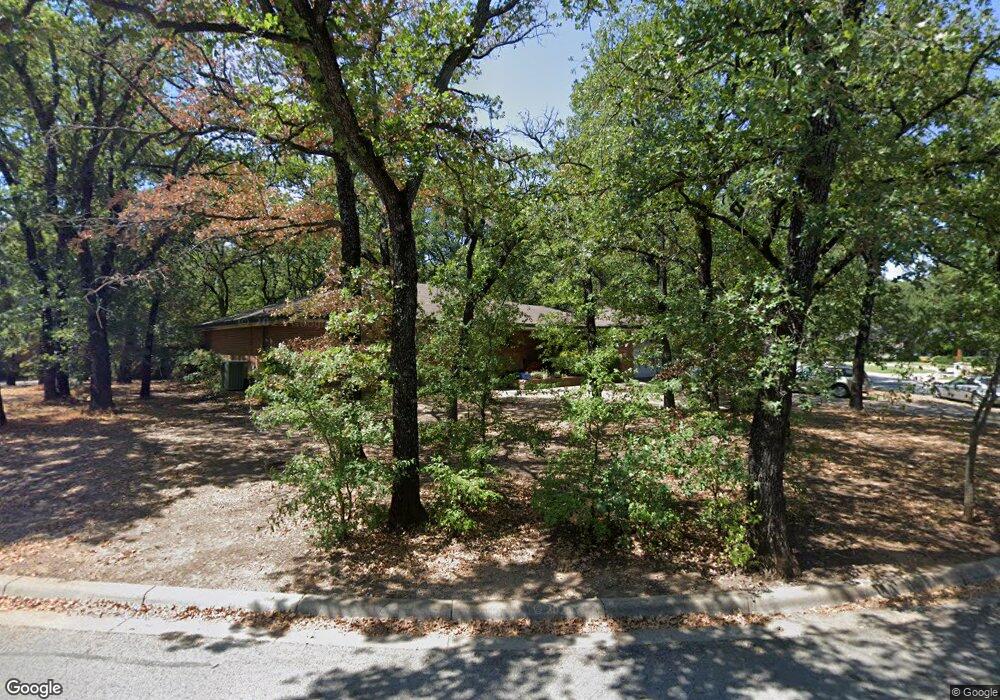
123 Nottingham Cir Bridgeport, TX 76426
Estimated Value: $283,450 - $294,000
--
Bed
--
Bath
2,007
Sq Ft
$144/Sq Ft
Est. Value
About This Home
This home is located at 123 Nottingham Cir, Bridgeport, TX 76426 and is currently estimated at $289,863, approximately $144 per square foot. 123 Nottingham Cir is a home located in Wise County with nearby schools including Bridgeport Elementary School, Bridgeport Intermediate School, and Bridgeport Middle School.
Ownership History
Date
Name
Owned For
Owner Type
Purchase Details
Closed on
May 14, 2002
Sold by
Beavers Judith L and Beavers Ronald B
Bought by
Garrett Neawana and Garrett William
Current Estimated Value
Purchase Details
Closed on
Nov 14, 1996
Bought by
Garrett Neawana and Garrett William
Purchase Details
Closed on
Nov 14, 1994
Bought by
Garrett Neawana and Garrett William
Purchase Details
Closed on
Sep 14, 1994
Bought by
Garrett Neawana and Garrett William
Purchase Details
Closed on
Jan 1, 1901
Bought by
Garrett Neawana and Garrett William
Create a Home Valuation Report for This Property
The Home Valuation Report is an in-depth analysis detailing your home's value as well as a comparison with similar homes in the area
Home Values in the Area
Average Home Value in this Area
Purchase History
| Date | Buyer | Sale Price | Title Company |
|---|---|---|---|
| Garrett Neawana | -- | -- | |
| Garrett Neawana | -- | -- | |
| Garrett Neawana | -- | -- | |
| Garrett Neawana | -- | -- | |
| Garrett Neawana | -- | -- |
Source: Public Records
Tax History Compared to Growth
Tax History
| Year | Tax Paid | Tax Assessment Tax Assessment Total Assessment is a certain percentage of the fair market value that is determined by local assessors to be the total taxable value of land and additions on the property. | Land | Improvement |
|---|---|---|---|---|
| 2025 | $4,289 | $288,981 | $52,265 | $236,716 |
| 2024 | $4,289 | $291,174 | $52,265 | $238,909 |
| 2023 | $5,772 | $290,646 | $52,265 | $238,381 |
| 2022 | $5,382 | $259,786 | $40,650 | $219,136 |
| 2021 | $4,663 | $219,800 | $40,650 | $179,150 |
| 2020 | $3,591 | $162,680 | $19,600 | $143,080 |
| 2019 | $3,709 | $160,890 | $19,600 | $141,290 |
| 2018 | $3,507 | $151,010 | $19,600 | $131,410 |
| 2017 | $3,280 | $141,450 | $19,600 | $121,850 |
| 2016 | $2,921 | $125,980 | $19,600 | $106,380 |
| 2015 | -- | $123,980 | $19,600 | $104,380 |
| 2014 | -- | $118,720 | $19,600 | $99,120 |
Source: Public Records
Map
Nearby Homes
- 124 Nottingham Cir
- 2009 Edgewood Dr
- 14 Robinhood Ln
- 302 Grace St
- 0 County Road 3214
- 0000 Oak Ridge Trail
- 19 Shady Creek Ln
- 1210 Wells Fargo Blvd
- 1713 Cates St
- TBD Edison St
- Lot 12 & 13 Edison St
- 1501 Carpenter St Unit A
- 1313 Edison Ave
- 1102 20th St
- 1601 Halsell St
- 1307 Irvin St
- SE Corner of Edison & 13th St
- 1004 Shady Oaks Dr W
- 1203 Thompson St
- 1715 Boston Ave
- 127 Nottingham Cir
- 117 Nottingham Cir
- 120 Nottingham Cir
- 126 Nottingham Cir
- 128 Nottingham Cir
- 115 Nottingham Cir
- 131 Nottingham Cir
- 122 Nottingham Cir
- 130 Nottingham Cir
- 145 Nottingham Cir
- 147 Nottingham Cir
- 141 Nottingham Cir
- 111 Nottingham Cir
- 137 Nottingham Cir
- 114 Nottingham Cir
- 132 Nottingham Cir
- 32 Robinhood Dr
- 30 Robinhood Dr
- 112 Nottingham Cir
- 146 Nottingham Cir