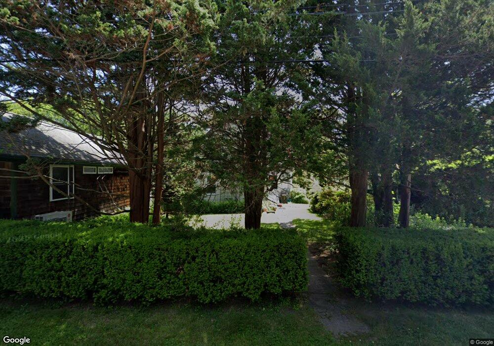
123 Oak Dell St South Kingstown, RI 02879
Estimated Value: $573,000 - $852,774
3
Beds
2
Baths
1,643
Sq Ft
$420/Sq Ft
Est. Value
About This Home
This home is located at 123 Oak Dell St, South Kingstown, RI 02879 and is currently estimated at $690,694, approximately $420 per square foot. 123 Oak Dell St is a home located in Washington County with nearby schools including South Kingstown High School, Monsignor Matthew Clarke Catholic Regional School, and Bradley School-South.
Ownership History
Date
Name
Owned For
Owner Type
Purchase Details
Closed on
Jun 14, 2024
Sold by
Thomas Brian S and Sanford Lisa B
Bought by
Brian & Lisa B Sanford Lt and Thomas
Current Estimated Value
Create a Home Valuation Report for This Property
The Home Valuation Report is an in-depth analysis detailing your home's value as well as a comparison with similar homes in the area
Home Values in the Area
Average Home Value in this Area
Purchase History
| Date | Buyer | Sale Price | Title Company |
|---|---|---|---|
| Brian & Lisa B Sanford Lt | -- | None Available | |
| Brian & Lisa B Sanford Lt | -- | None Available |
Source: Public Records
Tax History Compared to Growth
Tax History
| Year | Tax Paid | Tax Assessment Tax Assessment Total Assessment is a certain percentage of the fair market value that is determined by local assessors to be the total taxable value of land and additions on the property. | Land | Improvement |
|---|---|---|---|---|
| 2025 | $5,890 | $658,800 | $166,000 | $492,800 |
| 2024 | $5,529 | $500,400 | $127,800 | $372,600 |
| 2023 | $5,438 | $492,100 | $127,800 | $364,300 |
| 2022 | $5,388 | $492,100 | $127,800 | $364,300 |
| 2021 | $5,293 | $366,300 | $105,200 | $261,100 |
| 2020 | $5,293 | $366,300 | $105,200 | $261,100 |
| 2019 | $5,293 | $366,300 | $105,200 | $261,100 |
| 2018 | $4,949 | $315,600 | $101,800 | $213,800 |
| 2017 | $4,832 | $315,600 | $101,800 | $213,800 |
| 2016 | $4,762 | $315,600 | $101,800 | $213,800 |
| 2015 | $4,353 | $280,500 | $95,600 | $184,900 |
| 2014 | $4,361 | $281,700 | $95,600 | $186,100 |
Source: Public Records
Map
Nearby Homes
- 48 Stone Bridge Dr
- 156 River St Unit B
- 3 Larkin St
- 40 Amos St
- 37 Columbia St
- 10 Hendricks St
- 128 Rodman St
- 228 Rodman St
- 70 Broad Rock Rd
- 31 Winter St
- 128 North Rd
- 17 Celestial Heights Dr
- 39 Hazard Ave
- 23 Rockland Dr
- 45 Cherry Ln Unit C
- 98 Meadow Ave
- 53 Rocky Brook Way
- 38 Eisenhower Place
- 35 Whittier Dr
- 37 Whittier Dr
- 123 Oakdell St
- 111 Oakdell St
- 240 Church
- 240 Church St
- 260 Church St
- 241 Church St
- 202 Church St
- 255 Church St
- 18 Railroad St
- 0 Church St
- 267 Church St
- 24 Railroad St
- 44 Stone Bridge Dr
- 34 Stone Bridge Dr
- 276 Church St Unit B
- 276 Church St Unit A
- 276 Church St
- 39 Stone Bridge Dr
- 50 Stone Bridge Dr
- 279 Church St