123 Oasis Dr Denison, TX 75020
Estimated Value: $395,000 - $493,000
2
Beds
2
Baths
1,500
Sq Ft
$293/Sq Ft
Est. Value
About This Home
This home is located at 123 Oasis Dr, Denison, TX 75020 and is currently estimated at $439,100, approximately $292 per square foot. 123 Oasis Dr is a home located in Grayson County with nearby schools including Pottsboro Elementary School, Pottsboro Middle School, and Pottsboro High School.
Ownership History
Date
Name
Owned For
Owner Type
Purchase Details
Closed on
Jun 15, 2017
Sold by
Vanvanhorn Thomas Van and Estate Of Laurel Anne Van Horn
Bought by
Jaworsky Jerry
Current Estimated Value
Purchase Details
Closed on
Jun 25, 2013
Sold by
Durland Donald L and Durland Suzanne L
Bought by
Jaworsky Laurel and Jaworsky Jerry
Purchase Details
Closed on
Apr 1, 2008
Sold by
Young Robert N and Young Teresa E
Bought by
Durland Donald L and Durland Suzanne L
Home Financials for this Owner
Home Financials are based on the most recent Mortgage that was taken out on this home.
Original Mortgage
$203,278
Interest Rate
6.11%
Mortgage Type
VA
Purchase Details
Closed on
May 13, 2004
Sold by
Wiertz Judith A and Wiertz Bruce
Bought by
Young Robert N and Young Teresa E
Create a Home Valuation Report for This Property
The Home Valuation Report is an in-depth analysis detailing your home's value as well as a comparison with similar homes in the area
Home Values in the Area
Average Home Value in this Area
Purchase History
| Date | Buyer | Sale Price | Title Company |
|---|---|---|---|
| Jaworsky Jerry | -- | None Available | |
| Jaworsky Laurel | -- | Grayson County Title | |
| Durland Donald L | -- | Security Title Inc | |
| Young Robert N | -- | -- |
Source: Public Records
Mortgage History
| Date | Status | Borrower | Loan Amount |
|---|---|---|---|
| Previous Owner | Durland Donald L | $203,278 |
Source: Public Records
Tax History
| Year | Tax Paid | Tax Assessment Tax Assessment Total Assessment is a certain percentage of the fair market value that is determined by local assessors to be the total taxable value of land and additions on the property. | Land | Improvement |
|---|---|---|---|---|
| 2025 | -- | $335,741 | -- | -- |
| 2024 | $4,240 | $305,219 | $0 | $0 |
| 2023 | $4,378 | $277,472 | $0 | $0 |
| 2022 | $3,980 | $252,247 | $0 | $0 |
| 2021 | $3,740 | $298,687 | $86,414 | $212,273 |
| 2020 | $3,530 | $208,468 | $36,261 | $172,207 |
| 2019 | $4,027 | $236,018 | $36,261 | $199,757 |
| 2018 | $3,708 | $213,395 | $33,856 | $179,539 |
| 2017 | $3,416 | $187,559 | $33,856 | $153,703 |
| 2016 | $3,366 | $184,834 | $33,856 | $150,978 |
| 2015 | $2,230 | $174,906 | $24,400 | $150,506 |
| 2014 | $2,342 | $166,613 | $24,400 | $142,213 |
Source: Public Records
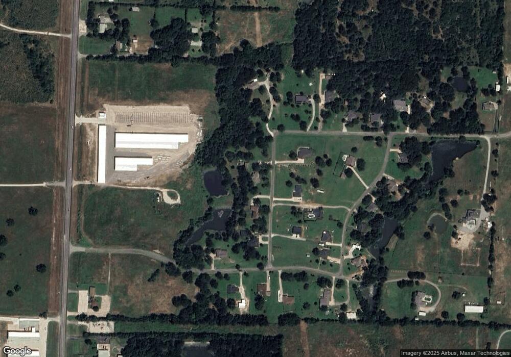
Map
Nearby Homes
- 23+/- Acres Oasis Dr
- 292 Pecan Orchard Rd
- 565 Oasis Dr
- 89 Crosstimbers Rd
- 356 Heironimus Ln
- 123 Vandenburg Dr
- 36 Twining Dr
- 44 Mundt Dr
- 538 Lakewood Rd
- 22 Eastwood Terrace
- 137 White Dove Trail
- 29 Macarthur Dr
- 57 Arboretum
- 44 Fawn Hollow Cir
- TBD Airport Dr
- 000 Davy Ln
- 1566 Davy Ln
- 3474 Plainview Rd
- 00 Reeves Rd
- 147 Shadow Trail
Your Personal Tour Guide
Ask me questions while you tour the home.