Estimated Value: $870,000 - $1,076,000
4
Beds
3
Baths
2,522
Sq Ft
$385/Sq Ft
Est. Value
About This Home
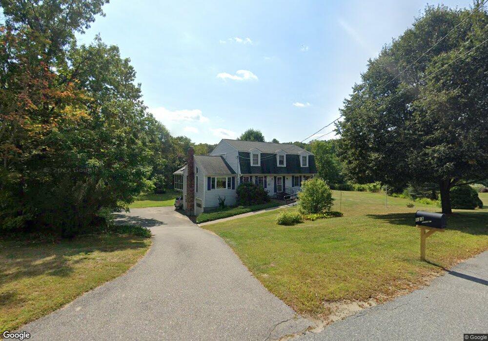
This home is located at 123 Parker St, Acton, MA 01720 and is currently estimated at $970,649, approximately $384 per square foot. 123 Parker St is a home located in Middlesex County with nearby schools including Acton-Boxborough Regional High School, Maynard Knowledge Beginnings, and The Imago School.
Ownership History
Date
Name
Owned For
Owner Type
Purchase Details
Closed on
Sep 3, 1987
Sold by
Cummings Frank L
Bought by
Shirron Stephen F
Current Estimated Value
Home Financials for this Owner
Home Financials are based on the most recent Mortgage that was taken out on this home.
Original Mortgage
$136,000
Interest Rate
10.35%
Create a Home Valuation Report for This Property
The Home Valuation Report is an in-depth analysis detailing your home's value as well as a comparison with similar homes in the area
Home Values in the Area
Average Home Value in this Area
Purchase History
| Date | Buyer | Sale Price | Title Company |
|---|---|---|---|
| Shirron Stephen F | $276,500 | -- |
Source: Public Records
Mortgage History
| Date | Status | Borrower | Loan Amount |
|---|---|---|---|
| Closed | Shirron Stephen F | $130,000 | |
| Closed | Shirron Stephen F | $40,000 | |
| Closed | Shirron Stephen F | $136,000 | |
| Closed | Shirron Stephen F | $136,000 |
Source: Public Records
Tax History Compared to Growth
Tax History
| Year | Tax Paid | Tax Assessment Tax Assessment Total Assessment is a certain percentage of the fair market value that is determined by local assessors to be the total taxable value of land and additions on the property. | Land | Improvement |
|---|---|---|---|---|
| 2025 | $12,749 | $743,400 | $286,000 | $457,400 |
| 2024 | $12,212 | $732,600 | $286,000 | $446,600 |
| 2023 | $11,914 | $678,500 | $260,000 | $418,500 |
| 2022 | $11,262 | $579,000 | $226,000 | $353,000 |
| 2021 | $10,993 | $543,400 | $209,200 | $334,200 |
| 2020 | $10,626 | $552,300 | $209,200 | $343,100 |
| 2019 | $10,117 | $522,300 | $209,200 | $313,100 |
| 2018 | $9,932 | $512,500 | $209,200 | $303,300 |
| 2017 | $9,673 | $507,500 | $209,200 | $298,300 |
| 2016 | $9,688 | $503,800 | $209,200 | $294,600 |
| 2015 | $9,500 | $498,700 | $209,200 | $289,500 |
| 2014 | $9,149 | $470,400 | $209,200 | $261,200 |
Source: Public Records
Map
Nearby Homes
- 132 Parker St Unit G5
- 128 Parker St Unit 3B
- 118 Parker St Unit 16
- 2 Clover Hill Rd
- 1 Maillet Dr
- 12 Brewster Ln
- 70 River St
- 128 Audubon Dr
- 40 High St
- 86 School St
- 8 Laurel Ct
- 71 School St
- 96 Forest Ridge Rd Unit 96
- 80 N Branch Rd
- 25 Main St
- 5 Oakwood Rd
- 9 Black Birch Ln Unit 9
- 8 High St Unit G1
- 1844 Main St Unit 1844
- 29 Black Birch Ln Unit 29
- 126,A11 Parker St Unit A-11
- 128/4D Parker St Unit 4D,128
- 130 Parker St Unit L6
- 130 Parker St Unit L5
- 130 Parker St Unit L4
- 130 Parker St Unit L2
- 130 Parker St Unit L1
- 130 Parker St Unit K6
- 130 Parker St Unit K5
- 130 Parker St Unit K4
- 130 Parker St Unit K3
- 130 Parker St Unit K2
- 130 Parker St Unit K1
- 130 Parker St Unit J6
- 130 Parker St Unit J5
- 130 Parker St Unit J4
- 130 Parker St Unit J3
- 130 Parker St Unit J2
- 130 Parker St Unit J1
- 130 Parker St Unit 5L