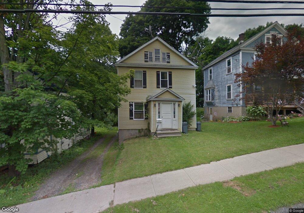
123 Plunkett St Pittsfield, MA 01201
Estimated Value: $196,000 - $263,000
3
Beds
1
Bath
1,428
Sq Ft
$159/Sq Ft
Est. Value
About This Home
This home is located at 123 Plunkett St, Pittsfield, MA 01201 and is currently estimated at $226,904, approximately $158 per square foot. 123 Plunkett St is a home located in Berkshire County with nearby schools including Morningside Community School, Theodore Herberg Middle School, and Pittsfield High School.
Ownership History
Date
Name
Owned For
Owner Type
Purchase Details
Closed on
Jul 21, 2011
Sold by
Greenwich Investors 26 and Osorio
Bought by
Greenwich Investors 26
Current Estimated Value
Purchase Details
Closed on
Apr 1, 2011
Sold by
Osorio Christina and Greenwich Investor 26
Bought by
Greenwich Investor 26
Create a Home Valuation Report for This Property
The Home Valuation Report is an in-depth analysis detailing your home's value as well as a comparison with similar homes in the area
Home Values in the Area
Average Home Value in this Area
Purchase History
| Date | Buyer | Sale Price | Title Company |
|---|---|---|---|
| Greenwich Investors 26 | $126,857 | -- | |
| Greenwich Investors 26 | $126,857 | -- | |
| Greenwich Investor 26 | $126,857 | -- | |
| Greenwich Investor 26 | $126,857 | -- |
Source: Public Records
Mortgage History
| Date | Status | Borrower | Loan Amount |
|---|---|---|---|
| Open | Greenwich Investor 26 | $86,900 |
Source: Public Records
Tax History Compared to Growth
Tax History
| Year | Tax Paid | Tax Assessment Tax Assessment Total Assessment is a certain percentage of the fair market value that is determined by local assessors to be the total taxable value of land and additions on the property. | Land | Improvement |
|---|---|---|---|---|
| 2025 | $3,270 | $182,300 | $34,300 | $148,000 |
| 2024 | $2,972 | $161,100 | $34,300 | $126,800 |
| 2023 | $2,790 | $152,300 | $34,300 | $118,000 |
| 2022 | $2,532 | $136,400 | $34,300 | $102,100 |
| 2021 | $2,260 | $117,400 | $34,300 | $83,100 |
| 2020 | $2,261 | $114,700 | $34,300 | $80,400 |
| 2019 | $2,128 | $109,600 | $32,400 | $77,200 |
| 2018 | $2,139 | $106,900 | $32,400 | $74,500 |
| 2017 | $2,144 | $109,200 | $37,300 | $71,900 |
| 2016 | $2,011 | $107,200 | $37,300 | $69,900 |
| 2015 | $1,936 | $107,200 | $37,300 | $69,900 |
Source: Public Records
Map
Nearby Homes
- LOT 20 Plunkett St
- 41 Perrine Ave
- 52 Brown St
- 48 Brown St
- 40 Roland St
- 24 Glenwood Ave
- 29 Glenwood Ave
- 11 Stanley Ave
- 81 Dartmouth St Unit 205
- 81 Dartmouth St Unit 102
- 156 Draper Ave
- 98 Lincoln St
- 26 Springside Ave
- 9 Myrtle St
- 68 Orchard St
- 762 East St
- 71 Maplewood Ave
- 51 Adam St
- 34 Lenox Ave
- 46 Bossidy Dr
- 125 Plunkett St
- 127 Plunkett St
- 113 Plunkett St
- 129 Plunkett St
- 116 Parker St
- 114 Parker St
- 108 Parker St
- 101 Plunkett St
- 133 Plunkett St
- 104 Parker St
- 114 Plunkett St
- 118 Parker St
- 112 Plunkett St
- 232 Springside Ave
- 120 Plunkett St
- 106 Plunkett St
- 120 Parker St
- 100 Parker St
- 139 Plunkett St
- 126 Plunkett St