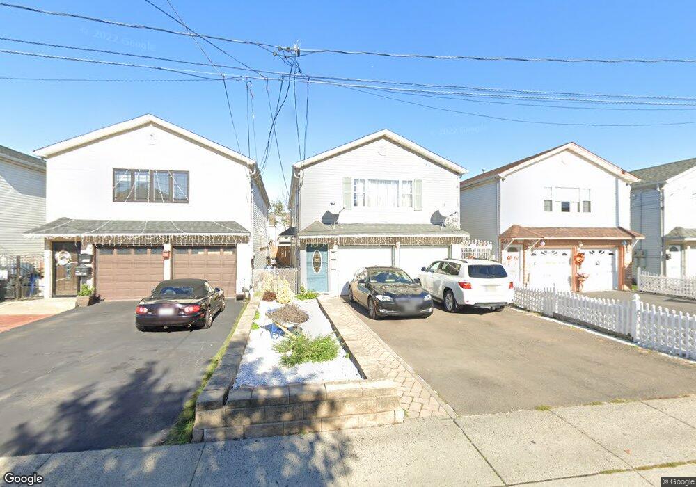
123 Port Ave Elizabethport, NJ 07206
Elizabethport NeighborhoodEstimated Value: $658,000 - $833,000
--
Bed
--
Bath
2,308
Sq Ft
$312/Sq Ft
Est. Value
About This Home
This home is located at 123 Port Ave, Elizabethport, NJ 07206 and is currently estimated at $719,056, approximately $311 per square foot. 123 Port Ave is a home located in Union County with nearby schools including Benjamin Franklin School No. 13, Elizabeth High School, and The Patrick School.
Ownership History
Date
Name
Owned For
Owner Type
Purchase Details
Closed on
Dec 14, 1998
Sold by
G G G & W Development Corp
Bought by
Martins John and Martins Clara
Current Estimated Value
Home Financials for this Owner
Home Financials are based on the most recent Mortgage that was taken out on this home.
Original Mortgage
$142,000
Interest Rate
6.78%
Mortgage Type
Purchase Money Mortgage
Create a Home Valuation Report for This Property
The Home Valuation Report is an in-depth analysis detailing your home's value as well as a comparison with similar homes in the area
Home Values in the Area
Average Home Value in this Area
Purchase History
| Date | Buyer | Sale Price | Title Company |
|---|---|---|---|
| Martins John | $142,000 | -- |
Source: Public Records
Mortgage History
| Date | Status | Borrower | Loan Amount |
|---|---|---|---|
| Previous Owner | Martins John | $142,000 |
Source: Public Records
Tax History Compared to Growth
Tax History
| Year | Tax Paid | Tax Assessment Tax Assessment Total Assessment is a certain percentage of the fair market value that is determined by local assessors to be the total taxable value of land and additions on the property. | Land | Improvement |
|---|---|---|---|---|
| 2025 | $9,732 | $505,800 | $168,000 | $337,800 |
| 2024 | $12,886 | $505,800 | $168,000 | $337,800 |
| 2023 | $12,886 | $41,000 | $7,800 | $33,200 |
| 2022 | $12,537 | $41,000 | $7,800 | $33,200 |
| 2021 | $12,279 | $41,000 | $7,800 | $33,200 |
| 2020 | $12,001 | $41,000 | $7,800 | $33,200 |
| 2019 | $11,818 | $41,000 | $7,800 | $33,200 |
| 2018 | $11,703 | $41,000 | $7,800 | $33,200 |
| 2017 | $11,376 | $41,000 | $7,800 | $33,200 |
| 2016 | $11,377 | $41,000 | $7,800 | $33,200 |
| 2015 | $10,701 | $41,000 | $7,800 | $33,200 |
| 2014 | $10,380 | $41,000 | $7,800 | $33,200 |
Source: Public Records
Map
Nearby Homes
- 139 Clark Place
- 261-263 Second St
- 267 Second St
- 306 1st St
- 210 Clark Place
- 239 Magnolia Ave
- 111 S Park St
- 159 2nd St
- 253 Magnolia Ave
- 140 S Park St
- 14 Harbor Front Terrace
- 319 Bond St
- 2 Harbor Front Plaza
- 322 Court St
- 155 E Jersey St
- 126 E Jersey St Unit 128
- 133 Fulton St
- 109 Fulton St
- 54 56 2nd St
- 156 Franklin St Unit 1
- 125 Port Ave Unit 127
- 121 Port Ave
- 129 Port Ave
- 119 Port Ave
- 131 Port Ave
- 117 Port Ave
- 122 Clark Place
- 122 1/2 Clark Place
- 118 Clark Place
- 133 Port Ave
- 113 Port Ave Unit 115
- 113 Port Ave Unit 2
- 116 1/2 Clark Place
- 124 Clark Place
- 116 Clark Place
- 126 Clark Place
- 128 Clark Place
- 114 Clark Place
- 111 Port Ave
- 135 Port Ave