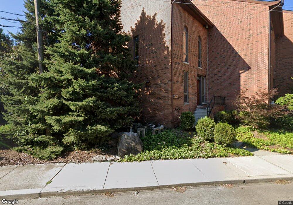
123 Price Ave Columbus, OH 43201
Short North NeighborhoodEstimated Value: $487,000 - $593,000
2
Beds
3
Baths
1,444
Sq Ft
$362/Sq Ft
Est. Value
About This Home
This home is located at 123 Price Ave, Columbus, OH 43201 and is currently estimated at $522,609, approximately $361 per square foot. 123 Price Ave is a home located in Franklin County with nearby schools including Hubbard Elementary School, Dominion Middle School, and Whetstone High School.
Ownership History
Date
Name
Owned For
Owner Type
Purchase Details
Closed on
Nov 1, 1994
Sold by
Johnson Alice P
Bought by
Cleve Mitchell Johnson
Current Estimated Value
Home Financials for this Owner
Home Financials are based on the most recent Mortgage that was taken out on this home.
Original Mortgage
$66,500
Interest Rate
8.68%
Mortgage Type
New Conventional
Create a Home Valuation Report for This Property
The Home Valuation Report is an in-depth analysis detailing your home's value as well as a comparison with similar homes in the area
Home Values in the Area
Average Home Value in this Area
Purchase History
| Date | Buyer | Sale Price | Title Company |
|---|---|---|---|
| Cleve Mitchell Johnson | $70,000 | -- |
Source: Public Records
Mortgage History
| Date | Status | Borrower | Loan Amount |
|---|---|---|---|
| Closed | Cleve Mitchell Johnson | $66,500 |
Source: Public Records
Tax History Compared to Growth
Tax History
| Year | Tax Paid | Tax Assessment Tax Assessment Total Assessment is a certain percentage of the fair market value that is determined by local assessors to be the total taxable value of land and additions on the property. | Land | Improvement |
|---|---|---|---|---|
| 2024 | $6,718 | $149,700 | $77,000 | $72,700 |
| 2023 | $6,633 | $149,695 | $77,000 | $72,695 |
| 2022 | $7,131 | $137,490 | $31,920 | $105,570 |
| 2021 | $7,144 | $137,490 | $31,920 | $105,570 |
| 2020 | $7,153 | $137,490 | $31,920 | $105,570 |
| 2019 | $6,950 | $114,560 | $26,600 | $87,960 |
| 2018 | $6,654 | $114,560 | $26,600 | $87,960 |
| 2017 | $6,983 | $114,560 | $26,600 | $87,960 |
| 2016 | $7,021 | $105,990 | $27,720 | $78,270 |
| 2015 | $6,374 | $105,990 | $27,720 | $78,270 |
| 2014 | $6,389 | $105,990 | $27,720 | $78,270 |
| 2013 | $2,615 | $87,955 | $16,800 | $71,155 |
Source: Public Records
Map
Nearby Homes
- 915 Dennison Ave Unit 915
- 938 Hunter Ave
- 83 W 1st Ave
- 162 E 2nd Ave
- 1001 Dennison Ave
- 998 Ewing Alley Unit 998
- 85-91 W 1st Ave
- 969 Hunter Ave
- 986 Highland St
- 1025 Hunter Ave
- 884 Neil Ave
- 11 W 1st Ave Unit B
- 845 N High St Unit 404
- 845 N High St Unit 209
- 845 N High St Unit 501 & 502
- 1016 Neil Ave
- 17 W 3rd Ave Unit 212
- 17 W 3rd Ave Unit 213
- 1018 Neil Ave
- 1042 Neil Ave
- 127 Price Ave
- 129 Price Ave
- 131 Price Ave
- 133 Price Ave
- 111 Price Ave
- 928 Dennison Ave Unit 928
- 138 W 1st Ave Unit 138
- 132 W 1st Ave Unit 1
- 132 W 1st Ave
- 118 Price Ave
- 120 Price Ave
- 109 Price Ave
- 116 Price Ave
- 124 W 1st Ave Unit 126
- 932 Dennison Ave Unit 934
- 126 Price Ave
- 926 Dennison Ave Unit 926
- 114 Price Ave
- 142 W 1st Ave Unit 142
- 128 Price Ave