123 Rock Candy Ln Unit 2 Branson, MO 65616
White River NeighborhoodEstimated Value: $224,000 - $300,000
2
Beds
2
Baths
1,428
Sq Ft
$180/Sq Ft
Est. Value
About This Home
This home is located at 123 Rock Candy Ln Unit 2, Branson, MO 65616 and is currently estimated at $257,155, approximately $180 per square foot. 123 Rock Candy Ln Unit 2 is a home located in Taney County with nearby schools including Cedar Ridge Primary, Cedar Ridge Intermediate School, and Cedar Ridge Elementary School.
Ownership History
Date
Name
Owned For
Owner Type
Purchase Details
Closed on
Aug 11, 2025
Sold by
Wilson Paula and Wilson Edmond
Bought by
Wilson Edmond
Current Estimated Value
Purchase Details
Closed on
Aug 4, 2010
Sold by
Federal National Mortgage Association
Bought by
Wilson Edmond and Wilson Paula
Home Financials for this Owner
Home Financials are based on the most recent Mortgage that was taken out on this home.
Original Mortgage
$75,920
Interest Rate
6%
Mortgage Type
Adjustable Rate Mortgage/ARM
Create a Home Valuation Report for This Property
The Home Valuation Report is an in-depth analysis detailing your home's value as well as a comparison with similar homes in the area
Home Values in the Area
Average Home Value in this Area
Purchase History
| Date | Buyer | Sale Price | Title Company |
|---|---|---|---|
| Wilson Edmond | -- | First American Title | |
| Wilson Edmond | -- | Continental Title |
Source: Public Records
Mortgage History
| Date | Status | Borrower | Loan Amount |
|---|---|---|---|
| Previous Owner | Wilson Edmond | $75,920 |
Source: Public Records
Tax History
| Year | Tax Paid | Tax Assessment Tax Assessment Total Assessment is a certain percentage of the fair market value that is determined by local assessors to be the total taxable value of land and additions on the property. | Land | Improvement |
|---|---|---|---|---|
| 2025 | $1,267 | $30,800 | -- | -- |
| 2023 | $1,267 | $23,690 | $0 | $0 |
| 2022 | $1,232 | $23,690 | $0 | $0 |
| 2021 | $1,224 | $23,690 | $0 | $0 |
| 2019 | $1,153 | $21,390 | $0 | $0 |
| 2018 | $1,154 | $21,390 | $0 | $0 |
| 2017 | $1,143 | $21,390 | $0 | $0 |
| 2016 | $1,140 | $21,390 | $0 | $0 |
| 2015 | $1,129 | $21,390 | $0 | $0 |
| 2014 | $1,292 | $25,660 | $0 | $0 |
Source: Public Records
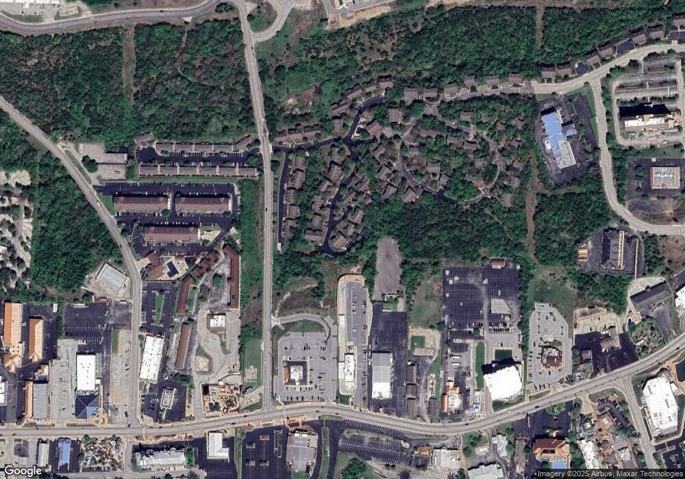
Map
Nearby Homes
- 133 Rock Candy Ln
- 135 Rock Candy Ln
- 119 Grand Mountain Ave
- 132 Rock Candy Ln Unit 1
- 237 Oakridge Rd Unit 2
- 239 Oakridge Rd Unit 237/239
- 239 Oakridge Rd Unit 1
- 103 & 105 Garden Cir Unit 103-3 & 105-4
- 228 Oakridge Rd
- 316 Summer Dr
- 238 Oakridge Rd
- 103 Garden Cir Unit 110-3
- 103 Garden Cir Unit 4
- 105 Garden Cir Unit 109-4
- 264 Oakridge Rd
- 271 Oakridge Rd Unit 1
- 269 Oakridge Rd Unit 2
- 108 Garden Cir Unit 104-3
- 108 Garden Cir Unit 104-2
- 108 Garden Cir Unit 104-1
- 123 Rock Candy Ln
- 122 Rock Candy Ln
- 122 Rock Candy Ln Unit 2
- 129 Rock Candy Ln
- 124 Rock Candy Ln Unit 1
- 131 Rock Candy Ln
- 131 Rock Candy Ln Unit 2
- 126 Rock Candy Ln Unit 2
- 128 Rock Candy Ln Unit 1
- 141 Rock Candy Ln Unit 1
- 141 Rock Candy Ln
- 135 Rock Candy Ln Unit 51
- 135 Rock Candy Ln Unit 2
- 135 Rock Candy Lane #51
- 135 Rock Candy Lane #51
- 143 Rock Candy Ln Unit 2
- 143 Rock Candy Ln
- 119 Garden Cir Unit 2
- 119 Garden Cir
- 132 Rock Candy Ln
Your Personal Tour Guide
Ask me questions while you tour the home.