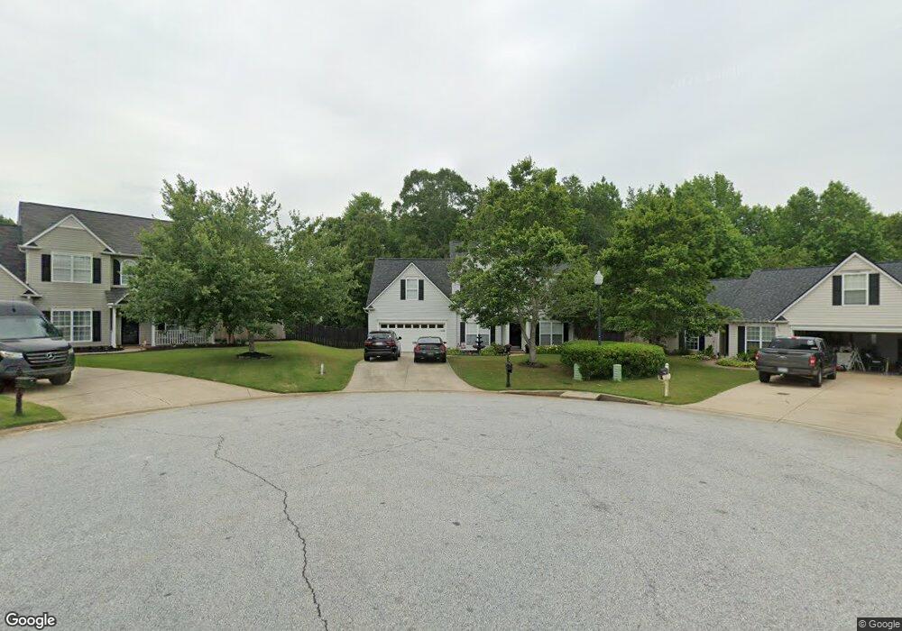
123 Rolling Oak Dr Easley, SC 29642
Estimated Value: $299,000 - $391,000
4
Beds
3
Baths
2,458
Sq Ft
$147/Sq Ft
Est. Value
About This Home
This home is located at 123 Rolling Oak Dr, Easley, SC 29642 and is currently estimated at $361,334, approximately $147 per square foot. 123 Rolling Oak Dr is a home located in Anderson County with nearby schools including Concrete Primary School, Powdersville Elementary School, and Powdersville Middle School.
Ownership History
Date
Name
Owned For
Owner Type
Purchase Details
Closed on
Sep 26, 2011
Sold by
Anderson Charles M and Anderson Christine A
Bought by
Saunders Jon D and Saunders Jennifer A
Current Estimated Value
Home Financials for this Owner
Home Financials are based on the most recent Mortgage that was taken out on this home.
Original Mortgage
$182,324
Outstanding Balance
$125,188
Interest Rate
4.24%
Mortgage Type
VA
Estimated Equity
$236,146
Purchase Details
Closed on
Apr 19, 2002
Sold by
Poinsett Homes Llc
Bought by
Anderson Charles M
Create a Home Valuation Report for This Property
The Home Valuation Report is an in-depth analysis detailing your home's value as well as a comparison with similar homes in the area
Home Values in the Area
Average Home Value in this Area
Purchase History
| Date | Buyer | Sale Price | Title Company |
|---|---|---|---|
| Saunders Jon D | $176,500 | -- | |
| Anderson Charles M | $156,855 | -- |
Source: Public Records
Mortgage History
| Date | Status | Borrower | Loan Amount |
|---|---|---|---|
| Open | Saunders Jon D | $182,324 |
Source: Public Records
Tax History
| Year | Tax Paid | Tax Assessment Tax Assessment Total Assessment is a certain percentage of the fair market value that is determined by local assessors to be the total taxable value of land and additions on the property. | Land | Improvement |
|---|---|---|---|---|
| 2024 | $1,207 | $8,990 | $1,860 | $7,130 |
| 2023 | $1,115 | $8,990 | $1,860 | $7,130 |
| 2022 | $1,071 | $8,990 | $1,860 | $7,130 |
| 2021 | $961 | $6,820 | $1,000 | $5,820 |
| 2020 | $979 | $6,820 | $1,000 | $5,820 |
| 2019 | $979 | $6,820 | $1,000 | $5,820 |
| 2018 | $919 | $6,820 | $1,000 | $5,820 |
| 2017 | -- | $6,820 | $1,000 | $5,820 |
| 2016 | $925 | $6,480 | $680 | $5,800 |
| 2015 | $982 | $6,480 | $680 | $5,800 |
| 2014 | $971 | $6,480 | $680 | $5,800 |
Source: Public Records
Map
Nearby Homes
- 114 Raven Ln
- 108 Raven Ln
- 110 Raven Ln
- 104 Raven Ln
- 116 Hibiscus Dr
- 104 Stone Hedgecourt
- 104 Ginkgo Ct
- 109 Guilford Dr
- 421 Wildflower Rd
- 104 Dahlia Ln
- 205 Meadow Ridge Rd
- 318 Carriage Hill Dr
- 333 Carriage Hill Dr
- 1703 Crestview Rd
- 116 Tortuga Ln
- 411 W Sundance Dr
- 159 Caledonia Dr
- 521 Brighton Cir
- 103 Wagner Ct
- 102 Lockmere Ct
- 121 Rolling Oak Dr
- 124 Rolling Oak Dr
- 119 Rolling Oak Dr
- 122 Rolling Oak Dr
- 220 Crestwood Ct
- 117 Rolling Oak Dr
- 148 Longwood Ln
- 120 Rolling Oak Dr
- 218 Crestwood Ct
- 118 Rolling Oak Dr
- 216 Crestwood Ct
- 115 Rolling Oak Dr
- 149 Longwood Ln
- 144 Longwood Ln
- 214 Crestwood Ct
- 147 Longwood Ln
- 116 Rolling Oak Dr
- 113 Rolling Oak Dr
- 223 Crestwood Ct
- 145 Longwood Ln
Your Personal Tour Guide
Ask me questions while you tour the home.