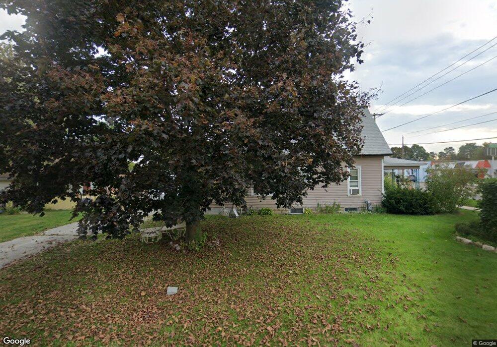
123 Sassafrass St Coloma, MI 49038
Estimated Value: $170,000 - $289,000
5
Beds
2
Baths
2,054
Sq Ft
$110/Sq Ft
Est. Value
About This Home
This home is located at 123 Sassafrass St, Coloma, MI 49038 and is currently estimated at $226,547, approximately $110 per square foot. 123 Sassafrass St is a home located in Berrien County with nearby schools including Coloma Elementary School, Coloma Intermediate School, and Coloma Junior High School.
Ownership History
Date
Name
Owned For
Owner Type
Purchase Details
Closed on
Oct 9, 2003
Sold by
Stroder John C and Stroder Barbara
Bought by
Emrich Elizabeth A
Current Estimated Value
Home Financials for this Owner
Home Financials are based on the most recent Mortgage that was taken out on this home.
Original Mortgage
$68,000
Outstanding Balance
$31,776
Interest Rate
6.23%
Mortgage Type
Unknown
Estimated Equity
$194,771
Purchase Details
Closed on
Jan 31, 1983
Create a Home Valuation Report for This Property
The Home Valuation Report is an in-depth analysis detailing your home's value as well as a comparison with similar homes in the area
Home Values in the Area
Average Home Value in this Area
Purchase History
| Date | Buyer | Sale Price | Title Company |
|---|---|---|---|
| Emrich Elizabeth A | $106,000 | Chicago Title | |
| -- | -- | -- |
Source: Public Records
Mortgage History
| Date | Status | Borrower | Loan Amount |
|---|---|---|---|
| Open | Emrich Elizabeth A | $68,000 |
Source: Public Records
Tax History Compared to Growth
Tax History
| Year | Tax Paid | Tax Assessment Tax Assessment Total Assessment is a certain percentage of the fair market value that is determined by local assessors to be the total taxable value of land and additions on the property. | Land | Improvement |
|---|---|---|---|---|
| 2025 | $1,650 | $96,900 | $0 | $0 |
| 2024 | $604 | $91,400 | $0 | $0 |
| 2023 | $575 | $82,500 | $0 | $0 |
| 2022 | $548 | $71,200 | $0 | $0 |
| 2021 | $1,518 | $61,900 | $5,600 | $56,300 |
| 2020 | $1,534 | $56,200 | $0 | $0 |
| 2019 | $1,541 | $49,300 | $5,600 | $43,700 |
| 2018 | $1,356 | $49,300 | $0 | $0 |
| 2017 | $1,346 | $49,300 | $0 | $0 |
| 2016 | $1,319 | $48,100 | $0 | $0 |
| 2015 | $1,311 | $45,100 | $0 | $0 |
| 2014 | $478 | $43,900 | $0 | $0 |
Source: Public Records
Map
Nearby Homes
- 254 E Center St
- 274 E Logan St
- 236 E Saint Joseph St
- 189 Banks St
- 3190/3198 Prospect St
- 6582 Ryno Rd
- 6754 Paw Ave
- 153 Ryno Rd
- 260 W Saint Joseph St
- 4500 Wil-O-paw Dr
- 6307 Wilson St
- 0 Wilson St
- 0 Defield Rd
- 7039 Curtis Dr
- 4557 Douglas Terrace
- 7197 Paw Ave Unit (West)
- 7197 Paw Ave Unit East
- 6950 Shore Dr
- 0 Mountain Rd
- 6167 Becht Rd E
- 321 E Center St
- 0 E Center St
- 293 E Center St
- 135 Sassafrass St
- 330 E Center St
- 285 E Center St
- 144 Sassafrass St
- 147 Sassafrass St
- 336 E Center St
- 292 E Center St
- 276 E Center St
- 277 E Center St
- 451 E Saint Joseph St
- 161 Sassafrass St
- 280 Garfield St
- 174 Sassafrass St
- 269 E Center St
- 289 Garfield St
- 140 Sassafrass St
- 174 Sassafras St