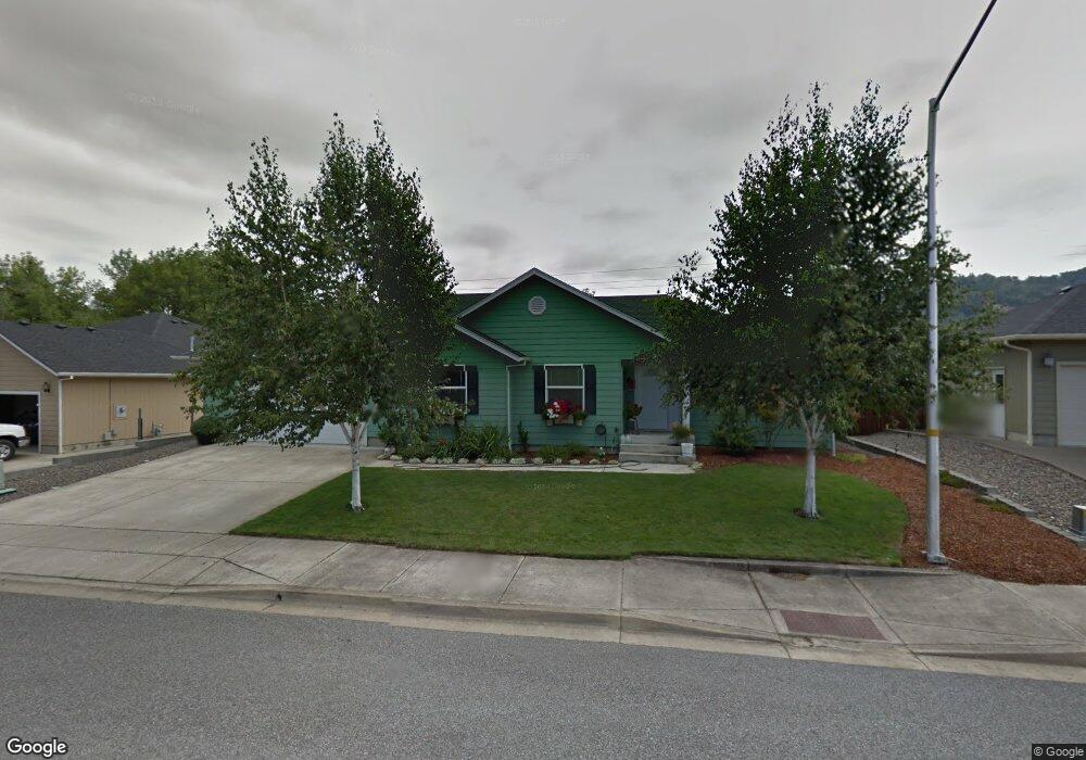
123 SE Rifle Range Rd Roseburg, OR 97470
Estimated Value: $408,764 - $419,000
3
Beds
2
Baths
1,703
Sq Ft
$243/Sq Ft
Est. Value
About This Home
This home is located at 123 SE Rifle Range Rd, Roseburg, OR 97470 and is currently estimated at $414,191, approximately $243 per square foot. 123 SE Rifle Range Rd is a home located in Douglas County with nearby schools including Eastwood Elementary School, Joseph Lane Middle School, and Roseburg High School.
Ownership History
Date
Name
Owned For
Owner Type
Purchase Details
Closed on
Jan 11, 2005
Sold by
Jerry L Tabor Building Inc
Bought by
Vanwinkle John D and Vanwinkle Robin L
Current Estimated Value
Home Financials for this Owner
Home Financials are based on the most recent Mortgage that was taken out on this home.
Original Mortgage
$150,000
Interest Rate
5.67%
Mortgage Type
Purchase Money Mortgage
Create a Home Valuation Report for This Property
The Home Valuation Report is an in-depth analysis detailing your home's value as well as a comparison with similar homes in the area
Home Values in the Area
Average Home Value in this Area
Purchase History
| Date | Buyer | Sale Price | Title Company |
|---|---|---|---|
| Vanwinkle John D | $195,000 | Ticor Title |
Source: Public Records
Mortgage History
| Date | Status | Borrower | Loan Amount |
|---|---|---|---|
| Closed | Vanwinkle John D | $150,000 |
Source: Public Records
Tax History Compared to Growth
Tax History
| Year | Tax Paid | Tax Assessment Tax Assessment Total Assessment is a certain percentage of the fair market value that is determined by local assessors to be the total taxable value of land and additions on the property. | Land | Improvement |
|---|---|---|---|---|
| 2024 | $3,406 | $232,186 | -- | -- |
| 2023 | $3,306 | $225,424 | $0 | $0 |
| 2022 | $3,210 | $218,859 | $0 | $0 |
| 2021 | $3,117 | $212,485 | $0 | $0 |
| 2020 | $3,103 | $206,297 | $0 | $0 |
| 2019 | $3,035 | $200,289 | $0 | $0 |
| 2018 | $2,957 | $194,456 | $0 | $0 |
| 2017 | $2,870 | $188,793 | $0 | $0 |
| 2016 | $2,775 | $183,295 | $0 | $0 |
| 2015 | $2,715 | $177,957 | $0 | $0 |
| 2014 | $2,638 | $172,774 | $0 | $0 |
| 2013 | -- | $167,742 | $0 | $0 |
Source: Public Records
Map
Nearby Homes
- 540 SE Ramp St
- 137 NE Flagg St
- 158 NE Garrecht St
- 207 NE Flagg St
- 335 NE Cummins St
- 522 SE Hillside Dr
- 2974 NE Douglas Ave
- 0 NE Cummins St
- 430 SE Leland St
- 426 NE Miguel Ave
- 625 NE Cummins St
- 628 NE Cummins St
- 157 NE Spencer Ct
- 675 NE Cummins St
- 202 NE Fulton St
- 3110 NE Diamond Lake Blvd
- 992 SE Golden Eagle Ave
- 2138 NE Freemont Ave
- 498 SE Dos Gatos Ct
- 2047 NE Freemont Ave
- 143 SE Rifle Range Rd
- 103 SE Rifle Range Rd
- 420 SE Oakbriar Ave
- 163 SE Rifle Range Rd
- 140 NE Rifle Range St
- 469 SE Oakbriar Ave
- 430 SE Oakbriar Ave
- 160 SE Rifle Range Rd
- 173 SE Rifle Range Rd
- 2428 SE Chinaberry Ave
- 479 SE Oakbriar Ave
- 440 SE Oakbriar Ave
- 193 SE Rifle Range Rd
- 2422 SE Chinaberry Ave
- 450 SE Oakbriar Ave
- 200 SW Rifle Range Rd
- 499 SE Oakbriar Ave
- 203 SE Rifle Range Rd
- 2613 NE Douglas Ave
- 2429 SE Chinaberry Ave