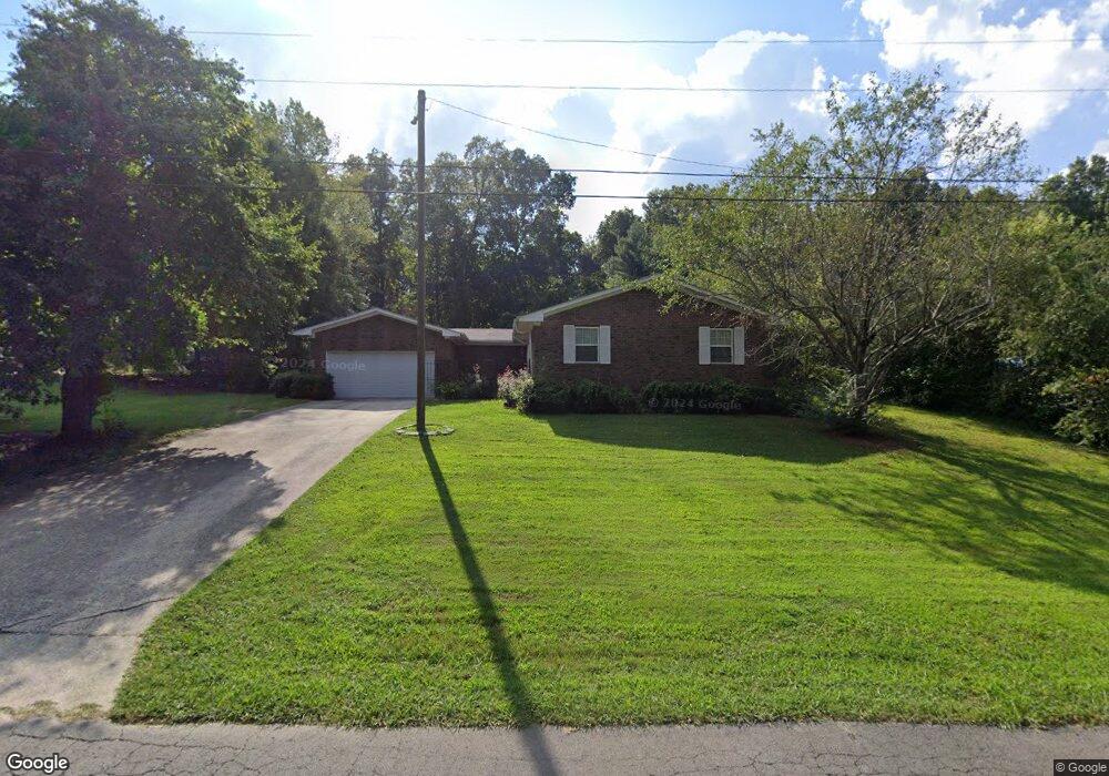
123 Shallowford Rd Dalton, GA 30721
Estimated Value: $238,000 - $285,000
--
Bed
2
Baths
1,485
Sq Ft
$178/Sq Ft
Est. Value
About This Home
This home is located at 123 Shallowford Rd, Dalton, GA 30721 and is currently estimated at $263,808, approximately $177 per square foot. 123 Shallowford Rd is a home located in Whitfield County with nearby schools including Pleasant Grove Elementary School, New Hope Middle School, and Northwest Whitfield County High School.
Ownership History
Date
Name
Owned For
Owner Type
Purchase Details
Closed on
Dec 29, 2015
Sold by
Blackwell Esther Lee
Bought by
Cuna Maria Guadalupe Garci
Current Estimated Value
Home Financials for this Owner
Home Financials are based on the most recent Mortgage that was taken out on this home.
Original Mortgage
$100,000
Outstanding Balance
$79,558
Interest Rate
3.97%
Mortgage Type
New Conventional
Estimated Equity
$184,250
Create a Home Valuation Report for This Property
The Home Valuation Report is an in-depth analysis detailing your home's value as well as a comparison with similar homes in the area
Home Values in the Area
Average Home Value in this Area
Purchase History
| Date | Buyer | Sale Price | Title Company |
|---|---|---|---|
| Cuna Maria Guadalupe Garci | -- | -- | |
| Cuna Maria Guadalupe Garci | $100,000 | -- |
Source: Public Records
Mortgage History
| Date | Status | Borrower | Loan Amount |
|---|---|---|---|
| Open | Cuna Maria Guadalupe Garci | $100,000 |
Source: Public Records
Tax History Compared to Growth
Tax History
| Year | Tax Paid | Tax Assessment Tax Assessment Total Assessment is a certain percentage of the fair market value that is determined by local assessors to be the total taxable value of land and additions on the property. | Land | Improvement |
|---|---|---|---|---|
| 2024 | $1,968 | $96,452 | $15,600 | $80,852 |
| 2023 | $1,968 | $65,637 | $10,600 | $55,037 |
| 2022 | $1,557 | $52,792 | $10,600 | $42,192 |
| 2021 | $1,558 | $52,792 | $10,600 | $42,192 |
| 2020 | $1,610 | $52,792 | $10,600 | $42,192 |
| 2019 | $1,637 | $52,792 | $10,600 | $42,192 |
| 2018 | $1,537 | $48,774 | $10,600 | $38,174 |
| 2017 | $1,538 | $48,774 | $10,600 | $38,174 |
| 2016 | $1,213 | $42,847 | $6,300 | $36,547 |
| 2014 | $184 | $42,847 | $6,300 | $36,547 |
| 2013 | -- | $42,847 | $6,300 | $36,547 |
Source: Public Records
Map
Nearby Homes
- 522 Westbrook Rd
- 192 Carly Dr
- 117 Pleasant Hill Dr
- 2502 E Hillview Dr
- 486 Haig Mill Rd
- 0 TRACT 5 2nd St
- 112 Albertson Dr
- 439 Westbrook Rd
- 2615 Cleveland Hwy
- 407 Quillian Rd
- 110 Pinewood Way
- 213 Grassdale Rd
- 106 Albertson Dr
- The Braselton II Plan at The Andros
- The Manchester II Plan at The Andros
- The Buford II Plan at The Andros
- The Ellison II Plan at The Andros
- The Norwood II Plan at The Andros
- The Reynolds Plan at The Andros
- The Maddux II Plan at The Andros
- 201 Shallowford Rd
- 121 Shallowford Rd
- 200 Royal Oak Dr
- 202 Shallowford Rd
- 105 Tonya Dr
- 119 Shallowford Rd
- 203 Shallowford Rd
- 203 Shallowford Rd
- 206 Pinewood Rd
- 111 Tonya Dr
- 204 Shallowford Rd
- 106 Tonya Dr
- 205 Shallowford Rd
- 117 Shallowford Rd
- 328 Mill Trace
- 328 Mill Trace Unit 328A
- 204 Royal Oak Dr
- 209 Tonya Dr
- 207 Tonya Dr
- 118 Shallowford Rd