123 Southshore Rd Unit Lot 19 Eatonton, GA 31024
Estimated Value: $607,000 - $699,401
3
Beds
2
Baths
1,941
Sq Ft
$343/Sq Ft
Est. Value
About This Home
This home is located at 123 Southshore Rd Unit Lot 19, Eatonton, GA 31024 and is currently estimated at $666,350, approximately $343 per square foot. 123 Southshore Rd Unit Lot 19 is a home located in Putnam County with nearby schools including Putnam County Primary School, Putnam County Elementary School, and Putnam County Middle School.
Ownership History
Date
Name
Owned For
Owner Type
Purchase Details
Closed on
Feb 6, 2023
Sold by
Lane Douglas E
Bought by
Lane Douglas and Dnd Family Trust
Current Estimated Value
Purchase Details
Closed on
Mar 27, 2001
Sold by
Norton Greg Mark
Bought by
Lane Douglas E
Purchase Details
Closed on
May 14, 1998
Sold by
King Sandra S
Bought by
Norton Greg Mark
Purchase Details
Closed on
Jul 17, 1986
Sold by
Fast Tap Inc
Bought by
King Sandra S
Create a Home Valuation Report for This Property
The Home Valuation Report is an in-depth analysis detailing your home's value as well as a comparison with similar homes in the area
Home Values in the Area
Average Home Value in this Area
Purchase History
| Date | Buyer | Sale Price | Title Company |
|---|---|---|---|
| Lane Douglas | -- | -- | |
| Lane Douglas E | $79,000 | -- | |
| Norton Greg Mark | $68,000 | -- | |
| King Sandra S | -- | -- |
Source: Public Records
Tax History Compared to Growth
Tax History
| Year | Tax Paid | Tax Assessment Tax Assessment Total Assessment is a certain percentage of the fair market value that is determined by local assessors to be the total taxable value of land and additions on the property. | Land | Improvement |
|---|---|---|---|---|
| 2024 | $4,609 | $267,601 | $70,000 | $197,601 |
| 2023 | $4,609 | $254,020 | $70,000 | $184,020 |
| 2022 | $4,065 | $202,439 | $50,000 | $152,439 |
| 2021 | $4,708 | $206,605 | $50,000 | $156,605 |
| 2020 | $3,546 | $146,366 | $46,656 | $99,710 |
| 2019 | $3,688 | $149,936 | $46,656 | $103,280 |
| 2018 | $3,288 | $131,613 | $46,683 | $84,930 |
| 2017 | $3,188 | $141,378 | $46,683 | $94,695 |
| 2016 | $3,191 | $141,378 | $46,683 | $94,695 |
| 2015 | $3,076 | $141,378 | $46,683 | $94,695 |
| 2014 | $3,061 | $140,505 | $55,575 | $84,930 |
Source: Public Records
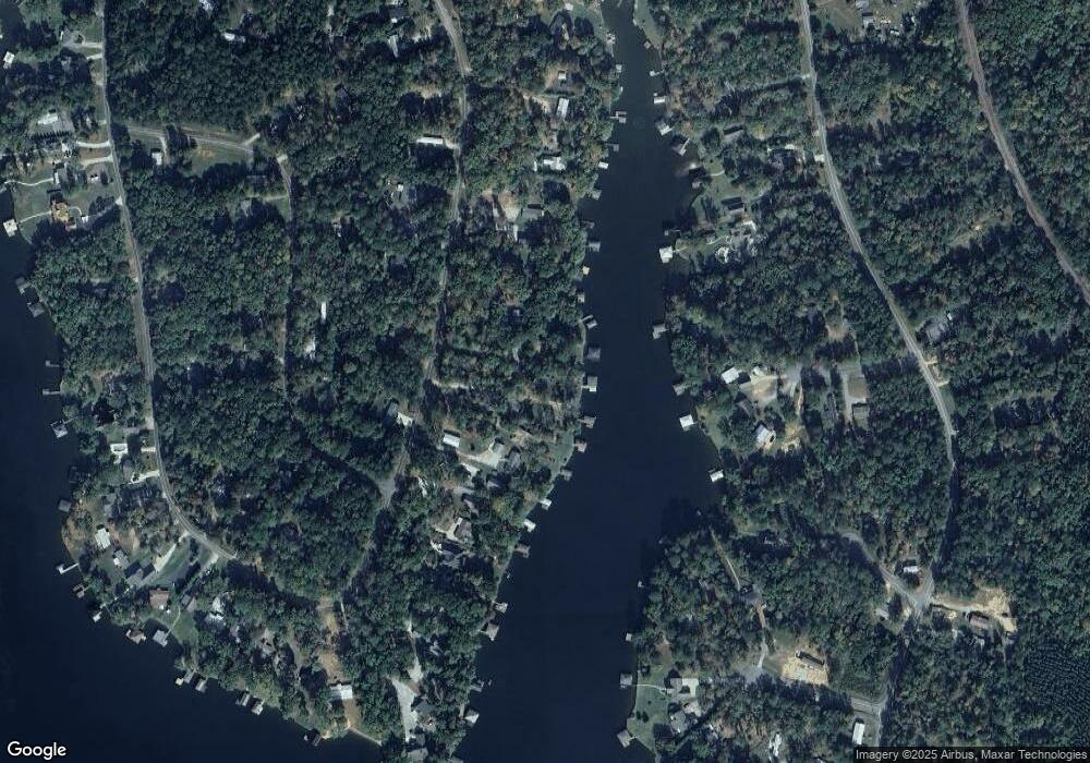
Map
Nearby Homes
- 118 Southshore Rd
- 102 Julep Dr SW
- 111 Southshore Rd
- 172 Southshore Rd
- 117 Bluegill Rd
- 171 Bluegill Rd
- 217A Bluegill Rd
- 127 Bluegill Run
- 117 Bluegill Run
- LOT 172 Shoreline Ct
- LOT 173 Shoreline Ct
- 126 Bluegill Rd
- 287 Bluegill Rd
- 231 Lakeshore Dr SW
- 108D Southshore Dr
- 201 Lakeshore Dr
- 108C Southshore Dr
- 123 Southshore Rd Unit 19 A
- 123 Southshore Rd
- 123A Southshore Rd
- 123A Southshore Rd Unit Lot 19
- 125 Southshore Rd
- S Shore Rd
- S Shore Rd Unit 21
- 127 Southshore Rd
- 127 Southshore Rd Unit 21
- 121 Southshore Rd
- 129 Southshore Rd
- 119 Southshore Rd
- 117 Southshore Rd
- 131A Southshore Rd
- 131A Southshore Rd Unit Lot 24
- 131 Southshore Rd
- 131 Southshore Rd Unit A
- 131 Southshore Rd Unit Lot 24
- 115 Southshore Rd
- 115 Southshore Rd Unit 14