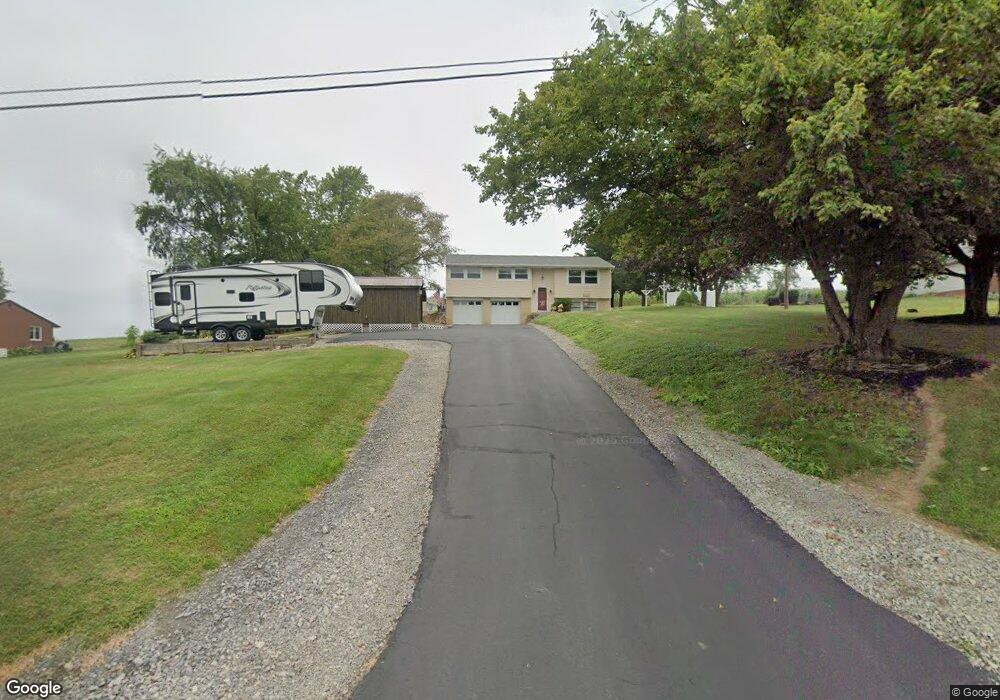
123 Srader Grove Rd Freeport, PA 16229
South Buffalo Township NeighborhoodEstimated Value: $210,167 - $349,000
3
Beds
2
Baths
1,487
Sq Ft
$175/Sq Ft
Est. Value
About This Home
This home is located at 123 Srader Grove Rd, Freeport, PA 16229 and is currently estimated at $260,042, approximately $174 per square foot. 123 Srader Grove Rd is a home with nearby schools including South Buffalo Elementary School and Freeport Area Senior High School.
Ownership History
Date
Name
Owned For
Owner Type
Purchase Details
Closed on
May 21, 2007
Sold by
Lehman Danny R and Lehman Pamela E
Bought by
Williams Frank C and Williams Melinda L
Current Estimated Value
Home Financials for this Owner
Home Financials are based on the most recent Mortgage that was taken out on this home.
Original Mortgage
$114,400
Interest Rate
5.95%
Mortgage Type
New Conventional
Create a Home Valuation Report for This Property
The Home Valuation Report is an in-depth analysis detailing your home's value as well as a comparison with similar homes in the area
Home Values in the Area
Average Home Value in this Area
Purchase History
| Date | Buyer | Sale Price | Title Company |
|---|---|---|---|
| Williams Frank C | $143,000 | None Available |
Source: Public Records
Mortgage History
| Date | Status | Borrower | Loan Amount |
|---|---|---|---|
| Closed | Williams Frank C | $114,400 |
Source: Public Records
Tax History Compared to Growth
Tax History
| Year | Tax Paid | Tax Assessment Tax Assessment Total Assessment is a certain percentage of the fair market value that is determined by local assessors to be the total taxable value of land and additions on the property. | Land | Improvement |
|---|---|---|---|---|
| 2025 | $3,000 | $32,780 | $20,230 | $12,550 |
| 2024 | $3,006 | $32,780 | $20,230 | $12,550 |
| 2023 | $2,619 | $32,780 | $20,230 | $12,550 |
| 2022 | $2,619 | $32,780 | $20,230 | $12,550 |
| 2021 | $2,573 | $32,780 | $20,230 | $12,550 |
| 2020 | $2,573 | $32,780 | $20,230 | $12,550 |
| 2019 | $2,518 | $32,780 | $20,230 | $12,550 |
| 2018 | $2,518 | $28,905 | $10,980 | $17,925 |
| 2017 | $2,483 | $32,780 | $20,230 | $12,550 |
| 2016 | $2,414 | $32,780 | $20,230 | $12,550 |
| 2015 | $1,922 | $32,780 | $20,230 | $12,550 |
| 2014 | $1,922 | $32,780 | $20,230 | $12,550 |
Source: Public Records
Map
Nearby Homes
- 129 Ridgecrest Dr
- 1146 Sarver Rd
- 170 Ralston Rd
- 214 Cadogan Slate Lick Rd
- 542 Franklin St
- 29 Main St
- 107 Silverview Dr
- 446 Monroe Rd
- 0 Jack Rd
- 1261 Sandy Ridge Dr
- 1283 Sandy Ridge Dr
- 1282 Sandy Ridge Dr
- 1071 Sandy Ridge Dr
- Lot #1 Woodhaven Dr
- Lot #2 Woodhaven Dr
- 1339 Freeport Rd
- Lot 4 Sober Rd
- Lot 1 Sober Rd
- Lot 3 Sober Rd
- Lot 2 Sober Rd
- 125 Srader Grove Rd
- 121 Srader Grove Rd
- 127 Srader Grove Rd
- 119 Srader Grove Rd
- 132 Srader Grove Rd
- 120 Srader Grove Rd
- 117 Srader Grove Rd
- 118 Srader Grove Rd
- 116 Srader Grove Rd
- 114 Srader Grove Rd
- 115 Srader Grove Rd
- 112 Srader Grove Rd
- 113 Srader Grove Rd
- 110 Srader Grove Rd
- 111 Srader Grove Rd
- 109 Srader Grove Rd
- 710 Freeport Rd
- 107 Srader Grove Rd
- 712 Freeport Rd
- 105 Srader Grove Rd