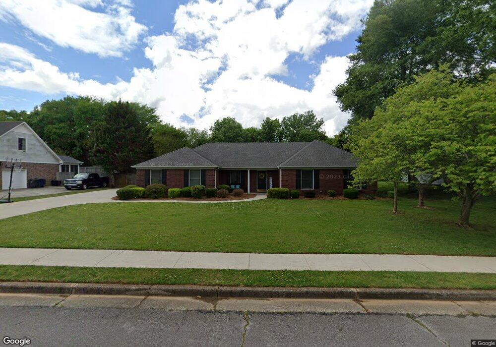
123 Sunscape Dr Huntsville, AL 35806
Research Park NeighborhoodEstimated Value: $257,000 - $285,000
--
Bed
1
Bath
1,826
Sq Ft
$151/Sq Ft
Est. Value
About This Home
This home is located at 123 Sunscape Dr, Huntsville, AL 35806 and is currently estimated at $275,852, approximately $151 per square foot. 123 Sunscape Dr is a home with nearby schools including Monrovia Elementary School, Monrovia Middle School, and Sparkman High School.
Ownership History
Date
Name
Owned For
Owner Type
Purchase Details
Closed on
Jun 23, 2023
Sold by
Ricks Sandra and Ricks Kenneth
Bought by
Payne Deborah
Current Estimated Value
Home Financials for this Owner
Home Financials are based on the most recent Mortgage that was taken out on this home.
Original Mortgage
$225,150
Outstanding Balance
$219,085
Interest Rate
6.35%
Mortgage Type
New Conventional
Estimated Equity
$56,767
Purchase Details
Closed on
Aug 5, 2015
Sold by
Payne Vickie L
Bought by
Payne Vickie L and Ricks Sandra
Create a Home Valuation Report for This Property
The Home Valuation Report is an in-depth analysis detailing your home's value as well as a comparison with similar homes in the area
Home Values in the Area
Average Home Value in this Area
Purchase History
| Date | Buyer | Sale Price | Title Company |
|---|---|---|---|
| Payne Deborah | $237,000 | None Listed On Document | |
| Payne Deborah | $237,000 | None Listed On Document | |
| Payne Vickie L | $122,500 | None Available |
Source: Public Records
Mortgage History
| Date | Status | Borrower | Loan Amount |
|---|---|---|---|
| Open | Payne Deborah | $225,150 | |
| Closed | Payne Deborah | $225,150 |
Source: Public Records
Tax History Compared to Growth
Tax History
| Year | Tax Paid | Tax Assessment Tax Assessment Total Assessment is a certain percentage of the fair market value that is determined by local assessors to be the total taxable value of land and additions on the property. | Land | Improvement |
|---|---|---|---|---|
| 2024 | $1,563 | $43,820 | $12,000 | $31,820 |
| 2023 | $1,563 | $21,200 | $6,000 | $15,200 |
| 2022 | $538 | $16,280 | $2,760 | $13,520 |
| 2021 | $538 | $16,280 | $2,760 | $13,520 |
| 2020 | $485 | $14,810 | $2,750 | $12,060 |
| 2019 | $470 | $14,400 | $2,750 | $11,650 |
| 2018 | $435 | $13,460 | $0 | $0 |
| 2017 | $393 | $12,220 | $0 | $0 |
| 2016 | $393 | $12,220 | $0 | $0 |
| 2015 | $393 | $12,220 | $0 | $0 |
| 2014 | $458 | $13,980 | $0 | $0 |
Source: Public Records
Map
Nearby Homes
- 1861 Jeff Rd NW
- 102 Springview Ln
- 1980 Jeff Rd NW
- 229 Kelly Spring Rd
- 116 Cove Pointe Way
- 100 Gordy Dr
- 116 Wedgewood Terrace Rd
- 131 Fairington Rd NW
- 253 Pumprock Dr
- 110 Summitridge Rd
- 108 Brigadoon Dr
- 118 Wedgewood Terrace Rd
- 100 Crystal Brook Ln
- 104 Glenmore Dr
- 195 Sarah Jane Dr
- 211 Mayflower Dr
- 120 Arbery Dr NW
- 110 Danika Dr NW
- 118 Marlbrook Dr
- 200 Sarah Jane Dr
- 125 Sunscape Dr
- 121 Sunscape Dr
- 109 Sterling Dr
- 127 Sunscape Dr NW
- 122 Sunscape Dr NW
- 127 Sunscape Dr
- 119 Sunscape Dr
- 109 Sterling Dr NW
- 126 Sunscape Dr
- 111 Sterling Dr NW
- 107 Sterling Dr NW
- 120 Sunscape Dr
- 105 Sterling Dr NW
- 113 Sterling Dr
- 148 Sterling Dr NW
- 121 Sterling Dr NW
- 119 Sterling Dr NW
- 127 Sterling Dr NW
- 123 Sterling Dr NW
- 125 Sterling Dr NW