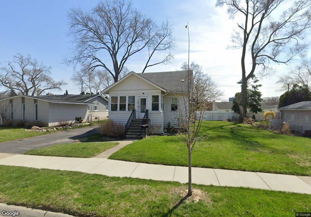
123 W Baker Ave Clawson, MI 48017
Clawson AreaEstimated Value: $271,906 - $314,000
About This Home
This home is located at 123 W Baker Ave, Clawson, MI 48017 and is currently estimated at $296,227, approximately $274 per square foot. 123 W Baker Ave is a home located in Oakland County with nearby schools including Clawson Middle School, Clawson High School, and Guardian Angels School.
Ownership History
We collect this data history from publicly available records. To have your information removed, we recommend requesting removal directly through your county’s website.
Purchase Details
Purchase Details
Home Values in the Area
Average Home Value in this Area
Purchase History
We collect this data history from publicly available records. To have your information removed, we recommend requesting removal directly through your county’s website.
| Date | Buyer | Sale Price | Title Company |
|---|---|---|---|
| -- | None Available | ||
| -- | -- |
Tax History
We collect this data history from publicly available records. To have your information removed, we recommend requesting removal directly through your county’s website.
| Year | Tax Paid | Tax Assessment Tax Assessment Total Assessment is a certain percentage of the fair market value that is determined by local assessors to be the total taxable value of land and additions on the property. | Land | Improvement |
|---|---|---|---|---|
| 2025 | $3,231 | $115,450 | $0 | $0 |
| 2024 | $3,022 | $107,890 | $0 | $0 |
| 2023 | $2,897 | $95,080 | $0 | $0 |
| 2022 | $2,920 | $86,370 | $0 | $0 |
| 2021 | $2,860 | $78,960 | $0 | $0 |
| 2020 | $2,772 | $73,940 | $0 | $0 |
| 2019 | $2,864 | $68,510 | $0 | $0 |
| 2018 | $2,740 | $62,700 | $0 | $0 |
| 2017 | $2,724 | $58,570 | $0 | $0 |
| 2016 | $2,761 | $51,790 | $0 | $0 |
| 2015 | -- | $45,720 | $0 | $0 |
| 2014 | -- | $39,360 | $0 | $0 |
| 2011 | -- | $41,390 | $0 | $0 |
Map
- 53 Highland Ave
- 283 Phillips Ave
- 65 W Elmwood Ave
- 917 Kenwood St
- 911 Kenwood St
- 909 Kenwood St
- 918 Kenwood St
- 525 Broadacre Ave
- 710 Dr
- 511 Kinross Ave
- 61 Madison Ave
- 754 W Baker Ave
- 724 Schalm Dr
- 810 Schalm Dr
- 785 Schalm Dr
- 104 Leroy Ave
- 256 Leroy Ave
- 549 Park Dr
- 495 Lincoln Ave
- 906 N Selfridge Blvd
- 142 Phillips Ave
- 154 Phillips Ave
- 143 W Baker Ave
- 143 W Baker Ave
- 153 W Baker Ave
- 153 W Baker Ave
- 164 Phillips Ave
- 114 Phillips Ave
- 165 W Baker Ave Unit Bldg-Unit
- 165 W Baker Ave
- 165 W Baker Ave
- 175 W Baker Ave
- 176 Phillips Ave
- 104 Phillips Ave
- 109 W Baker Ave
- 186 Phillips Ave
- 96 Phillips Ave
- 185 W Baker Ave
- 93 W Baker Ave
- 80 Phillips Ave
Ask me questions while you tour the home.