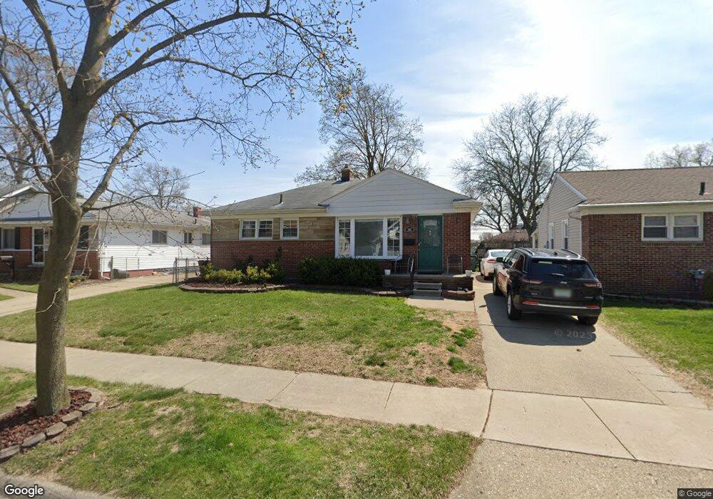
165 W Baker Ave Unit Bldg-Unit Clawson, MI 48017
Estimated Value: $278,000 - $298,000
About This Home
This home is located at 165 W Baker Ave Unit Bldg-Unit, Clawson, MI 48017 and is currently estimated at $284,699, approximately $285 per square foot. 165 W Baker Ave Unit Bldg-Unit is a home located in Oakland County with nearby schools including Clawson Middle School, Clawson High School, and Guardian Angels School.
Ownership History
We collect this data history from publicly available records. To have your information removed, we recommend requesting removal directly through your county’s website.
Purchase Details
Home Financials for this Owner
Home Financials are based on the most recent Mortgage that was taken out on this home.Home Values in the Area
Average Home Value in this Area
Purchase History
We collect this data history from publicly available records. To have your information removed, we recommend requesting removal directly through your county’s website.
| Date | Buyer | Sale Price | Title Company |
|---|---|---|---|
| $176,300 | Devon Title Agency |
Mortgage History
We collect this data history from publicly available records. To have your information removed, we recommend requesting removal directly through your county’s website.
| Date | Status | Borrower | Loan Amount |
|---|---|---|---|
| Open | $167,485 |
Tax History
We collect this data history from publicly available records. To have your information removed, we recommend requesting removal directly through your county’s website.
| Year | Tax Paid | Tax Assessment Tax Assessment Total Assessment is a certain percentage of the fair market value that is determined by local assessors to be the total taxable value of land and additions on the property. | Land | Improvement |
|---|---|---|---|---|
| 2025 | $4,176 | $116,840 | $0 | $0 |
| 2024 | $3,906 | $110,410 | $0 | $0 |
| 2023 | $3,745 | $98,640 | $0 | $0 |
| 2022 | $3,775 | $90,840 | $0 | $0 |
| 2021 | $3,698 | $84,450 | $0 | $0 |
| 2020 | $3,583 | $80,120 | $0 | $0 |
| 2019 | $3,702 | $73,260 | $0 | $0 |
| 2018 | $2,212 | $68,180 | $0 | $0 |
| 2017 | $2,964 | $64,710 | $0 | $0 |
| 2016 | $2,234 | $58,030 | $0 | $0 |
| 2015 | -- | $52,010 | $0 | $0 |
| 2014 | -- | $44,510 | $0 | $0 |
| 2011 | -- | $46,100 | $0 | $0 |
Map
- 264 Phillips Ave
- 487 N Washington Ave
- 53 Highland Ave
- 68 Highland Ave
- 65 W Elmwood Ave
- 609 John M Ave
- 917 Kenwood St
- 911 Kenwood St
- 909 Kenwood St
- 918 Kenwood St
- 525 Broadacre Ave
- 710 Dr
- 30 S Custer Ave
- 133 N Bywood Ave
- 810 Schalm Dr
- 785 Schalm Dr
- 724 Schalm Dr
- 295 Madison Ave
- 204 N Marias Ave
- 906 N Selfridge Blvd
- 228 Phillips Ave
- 607 N Washington Ave
- 238 Phillips Ave
- 227 W Baker Ave
- 227 W Baker Ave
- 633 N Washington Ave
- 248 Phillips Ave
- 237 W Baker Ave
- 237 W Baker Ave
- 249 W Baker Ave
- 217 Phillips Ave
- 186 Phillips Ave
- 185 W Baker Ave
- 176 Phillips Ave
- 231 Phillips Ave
- 237 Phillips Ave
- 247 Phillips Ave
- 175 W Baker Ave
- 164 Phillips Ave
- 263 W Baker Ave
Ask me questions while you tour the home.