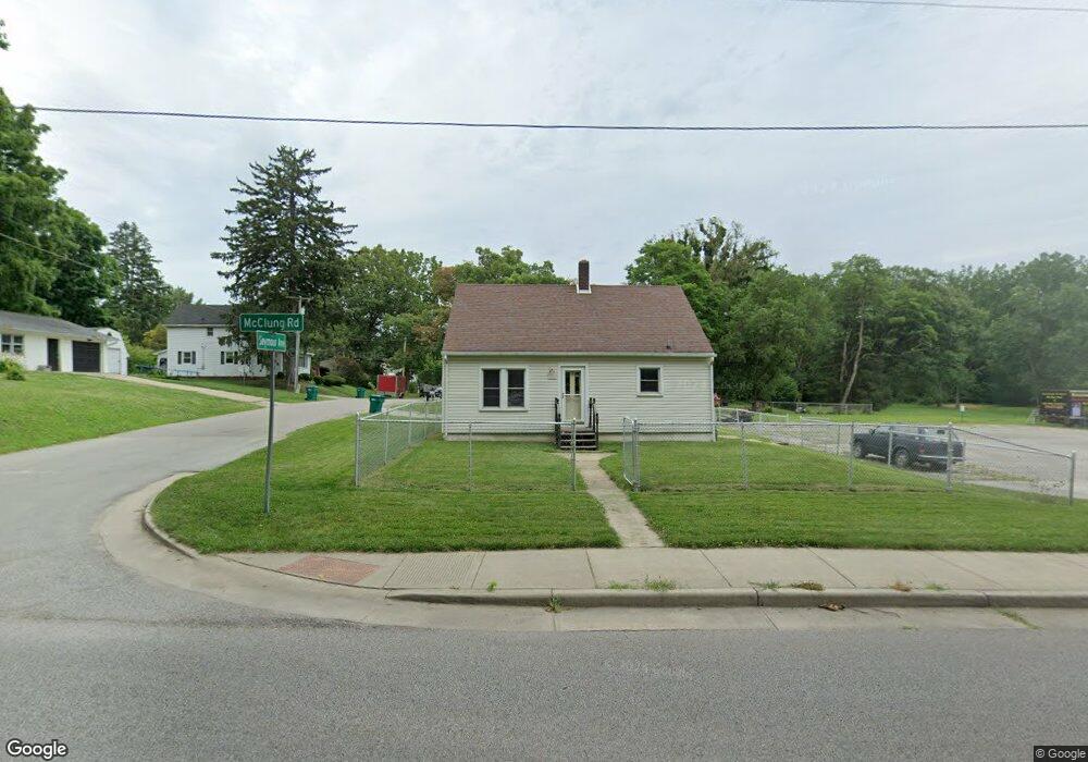
123 W Mcclung Rd La Porte, IN 46350
Estimated Value: $171,000 - $191,000
2
Beds
2
Baths
1,664
Sq Ft
$109/Sq Ft
Est. Value
About This Home
This home is located at 123 W Mcclung Rd, La Porte, IN 46350 and is currently estimated at $181,159, approximately $108 per square foot. 123 W Mcclung Rd is a home located in LaPorte County with nearby schools including Carver Elementary School, Hailmann Elementary School, and La Porte High School.
Ownership History
Date
Name
Owned For
Owner Type
Purchase Details
Closed on
Jun 14, 2007
Sold by
Vandenburgh John
Bought by
Himo Mark A
Current Estimated Value
Home Financials for this Owner
Home Financials are based on the most recent Mortgage that was taken out on this home.
Original Mortgage
$59,300
Outstanding Balance
$36,305
Interest Rate
6.2%
Mortgage Type
Unknown
Estimated Equity
$144,854
Create a Home Valuation Report for This Property
The Home Valuation Report is an in-depth analysis detailing your home's value as well as a comparison with similar homes in the area
Home Values in the Area
Average Home Value in this Area
Purchase History
| Date | Buyer | Sale Price | Title Company |
|---|---|---|---|
| Himo Mark A | -- | Metropolitan Title In Llc |
Source: Public Records
Mortgage History
| Date | Status | Borrower | Loan Amount |
|---|---|---|---|
| Open | Himo Mark A | $59,300 |
Source: Public Records
Tax History Compared to Growth
Tax History
| Year | Tax Paid | Tax Assessment Tax Assessment Total Assessment is a certain percentage of the fair market value that is determined by local assessors to be the total taxable value of land and additions on the property. | Land | Improvement |
|---|---|---|---|---|
| 2024 | $1,081 | $110,400 | $14,700 | $95,700 |
| 2023 | $1,002 | $100,200 | $12,300 | $87,900 |
| 2022 | $910 | $91,000 | $12,300 | $78,700 |
| 2021 | $863 | $86,300 | $12,300 | $74,000 |
| 2020 | $905 | $86,300 | $12,300 | $74,000 |
| 2019 | $930 | $88,200 | $13,300 | $74,900 |
| 2018 | $833 | $78,500 | $10,600 | $67,900 |
| 2017 | $810 | $78,900 | $10,600 | $68,300 |
| 2016 | $692 | $72,400 | $9,200 | $63,200 |
| 2014 | $525 | $69,800 | $9,200 | $60,600 |
Source: Public Records
Map
Nearby Homes
- 125 W Mcclung Rd
- 1944 Park St
- 1960 Park St
- 1964 Park St
- 1962 Park St
- 222 Roosevelt St
- 161 W Mcclung Rd
- 169 W Mcclung Rd Unit 201
- 169 W Mcclung Rd Unit 203
- 610 Home St
- 506 Pulaski St
- 865 W 200 N
- 245 Pine Lake Ave
- 0 Brighton St Unit NRA542345
- 503 Grove St
- 107 Lincolnway
- 195 W Mcclung Rd
- 0 N Highway 35 Rd
- 0 W Lot 81 Concord Dr Unit NRA809376
- 0 W 450 St N Unit NRA827579
- 132 Seymour Ave
- 134 Seymour Ave
- 137 Seymour Ave
- 125 W Mcclung Rd
- 125 W Mcclung Rd Unit A
- 139 Seymour Ave
- 139 Kabelin Ave
- 141 Kabelin Ave
- 138 Seymour Ave
- 143 Kabelin Ave
- 140 Seymour Ave
- 145 Kabelin Ave
- 142 Seymour Ave
- 127 W Mcclung Rd
- 150 Kabelin Ave
- 140 Kabelin Ave
- 144 Seymour Ave
- 113 W Mcclung Rd
- 144 Kabelin Ave
- 149 Kabelin Ave