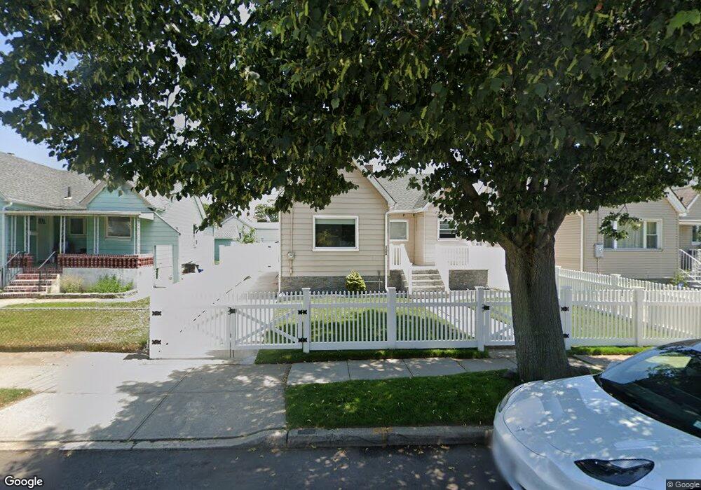
123 Westend Ave Freeport, NY 11520
Estimated Value: $430,000 - $532,732
2
Beds
2
Baths
791
Sq Ft
$609/Sq Ft
Est. Value
About This Home
This home is located at 123 Westend Ave, Freeport, NY 11520 and is currently estimated at $481,366, approximately $608 per square foot. 123 Westend Ave is a home located in Nassau County with nearby schools including Columbus Avenue School, Caroline G. Atkinson Intermediate School, and John W Dodd Middle School.
Ownership History
Date
Name
Owned For
Owner Type
Purchase Details
Closed on
Mar 16, 2019
Sold by
Ahmed Shaibal
Bought by
Ahmed Mohammed A
Current Estimated Value
Purchase Details
Closed on
Apr 12, 2018
Sold by
Ahmed Mohammed A and Ahmed Shaibal
Bought by
Ahmed Shaibal
Purchase Details
Closed on
Apr 5, 2016
Sold by
Siddiqui Shaista
Bought by
Ahmed Mohammed A and Ahmed Shaibal
Home Financials for this Owner
Home Financials are based on the most recent Mortgage that was taken out on this home.
Original Mortgage
$242,722
Outstanding Balance
$196,354
Interest Rate
4.25%
Mortgage Type
FHA
Estimated Equity
$285,012
Purchase Details
Closed on
Apr 17, 2015
Sold by
Sumner Mark
Bought by
Siddiqui Shaista
Create a Home Valuation Report for This Property
The Home Valuation Report is an in-depth analysis detailing your home's value as well as a comparison with similar homes in the area
Home Values in the Area
Average Home Value in this Area
Purchase History
| Date | Buyer | Sale Price | Title Company |
|---|---|---|---|
| Ahmed Mohammed A | -- | Judicial Title | |
| Ahmed Shaibal | -- | None Available | |
| Ahmed Mohammed A | $247,200 | The Judicial Title Insurance | |
| Siddiqui Shaista | $95,000 | Fidelity National Title |
Source: Public Records
Mortgage History
| Date | Status | Borrower | Loan Amount |
|---|---|---|---|
| Open | Ahmed Mohammed A | $242,722 |
Source: Public Records
Tax History Compared to Growth
Tax History
| Year | Tax Paid | Tax Assessment Tax Assessment Total Assessment is a certain percentage of the fair market value that is determined by local assessors to be the total taxable value of land and additions on the property. | Land | Improvement |
|---|---|---|---|---|
| 2025 | $6,792 | $315 | $139 | $176 |
| 2024 | $711 | $315 | $139 | $176 |
| 2023 | $7,016 | $315 | $139 | $176 |
| 2022 | $7,016 | $315 | $139 | $176 |
| 2021 | $10,621 | $302 | $133 | $169 |
| 2020 | $10,800 | $499 | $430 | $69 |
| 2019 | $7,343 | $503 | $430 | $73 |
| 2018 | $7,283 | $503 | $0 | $0 |
| 2017 | $6,053 | $503 | $430 | $73 |
| 2016 | $6,808 | $503 | $430 | $73 |
| 2015 | $727 | $503 | $430 | $73 |
| 2014 | $727 | $503 | $430 | $73 |
| 2013 | $687 | $503 | $430 | $73 |
Source: Public Records
Map
Nearby Homes
- 16 Johnson Place
- 153 Westend Ave
- 116 Westend Ave Unit 8
- 116 Westend Ave Unit 21
- 116 Westend Ave Unit 6
- 531 Ray St Unit 10
- 451 Atlantic Ave
- 437 Ray St
- 90 Hampton Place
- 77 Hampton Place
- 78 Saint Marks Ave
- 210 Westend Ave Unit 8B
- 208 Westend Ave Unit 11A
- 1165 Hastings Cir
- 1166 Hastings Cir
- 8 Florence Ave Unit 16C
- 88 Elliott Place
- 12 Florence Ave Unit 29A
- 557 Southside Ave
- 1111 Steele Blvd
- 125 Westend Ave
- 119 Westend Ave
- 57 Elinor Place
- 129 Westend Ave
- 14 Joan Ct
- 45 Elinor Place
- 131 Westend Ave
- 134 Westend Ave
- 12 Joan Ct
- 115 Westend Ave
- 136 Westend Ave
- 46 Johnson Place
- 40 Johnson Place
- 58 Elinor Place
- 111 Westend Ave
- 36 Johnson Place
- 43 Elinor Place
- 56 Elinor Place
- 32 Johnson Place
- 9 Joan Ct