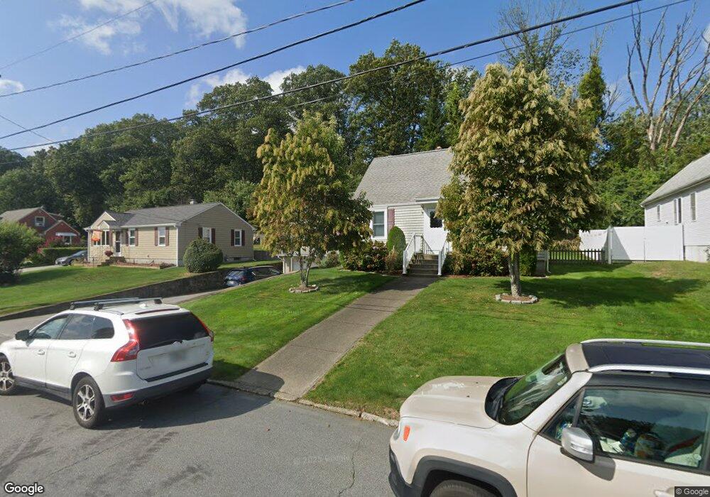
123 Westfield Dr Cranston, RI 02920
Thornton NeighborhoodEstimated Value: $476,000 - $496,000
4
Beds
2
Baths
1,920
Sq Ft
$254/Sq Ft
Est. Value
About This Home
This home is located at 123 Westfield Dr, Cranston, RI 02920 and is currently estimated at $486,998, approximately $253 per square foot. 123 Westfield Dr is a home located in Providence County with nearby schools including Stone Hill School, Western Hills Middle School, and Cranston High School West.
Ownership History
Date
Name
Owned For
Owner Type
Purchase Details
Closed on
Dec 14, 2018
Sold by
Mildred E Hanson Relt E and Mildred Hanson
Bought by
Mildred E Hanson Ft and Hanson
Current Estimated Value
Purchase Details
Closed on
Jul 1, 1996
Sold by
Hanson Richard B and Hanson Mildred E
Bought by
Hanson Relt and Hanson H
Create a Home Valuation Report for This Property
The Home Valuation Report is an in-depth analysis detailing your home's value as well as a comparison with similar homes in the area
Home Values in the Area
Average Home Value in this Area
Purchase History
| Date | Buyer | Sale Price | Title Company |
|---|---|---|---|
| Mildred E Hanson Ft | -- | None Available | |
| Mildred E Hanson Ft | -- | None Available | |
| Mildred E Hanson Ft | -- | None Available | |
| Hanson Relt | -- | None Available | |
| Hanson Relt | -- | None Available | |
| Hanson Relt | -- | None Available |
Source: Public Records
Tax History
| Year | Tax Paid | Tax Assessment Tax Assessment Total Assessment is a certain percentage of the fair market value that is determined by local assessors to be the total taxable value of land and additions on the property. | Land | Improvement |
|---|---|---|---|---|
| 2025 | $5,113 | $368,400 | $118,100 | $250,300 |
| 2024 | $5,014 | $368,400 | $118,100 | $250,300 |
| 2023 | $5,012 | $265,200 | $84,900 | $180,300 |
| 2022 | $4,909 | $265,200 | $84,900 | $180,300 |
| 2021 | $4,774 | $265,200 | $84,900 | $180,300 |
| 2020 | $4,983 | $239,900 | $84,900 | $155,000 |
| 2019 | $4,983 | $239,900 | $84,900 | $155,000 |
| 2018 | $4,868 | $239,900 | $84,900 | $155,000 |
| 2017 | $4,806 | $209,500 | $71,500 | $138,000 |
| 2016 | $4,703 | $209,500 | $71,500 | $138,000 |
| 2015 | $4,703 | $209,500 | $71,500 | $138,000 |
| 2014 | $4,440 | $194,400 | $71,500 | $122,900 |
Source: Public Records
Map
Nearby Homes
- 72 Westfield Dr
- 1757 Plainfield Pike
- 27 Nardolillo St
- 46 Lake Garden Dr
- 1603 Plainfield Pike Unit G8
- 244 Stony Acre Dr
- 1835 Plainfield Pike
- 0 Macera Dr
- 9 Baker St
- 51 Janet Dr
- 8 Deluca St
- 74 Woodside St
- 129 Simmonsville Ave
- 44 Village Ave
- 65 Traymore St
- 0 Plainfield Pike Unit 1374314
- 71 Elite Dr
- 27 Rockcrest Ln
- 77 Rockwood Ave
- 60 Imperial Ave
- 129 Westfield Dr
- 117 Westfield Dr
- 135 Westfield Dr
- 109 Westfield Dr
- 124 Westfield Dr
- 136 Westfield Dr
- 96 Westfield Dr
- 141 Westfield Dr
- 75 Leawood Dr
- 105 Westfield Dr
- 78 Leawood Dr
- 90 Westfield Dr
- 152 Westfield Dr
- 99 Westfield Dr
- 69 Leawood Dr
- 147 Westfield Dr
- 72 Leawood Dr
- 95 Westfield Dr
- 10 Frances Dr
- 84 Westfield Dr
Your Personal Tour Guide
Ask me questions while you tour the home.