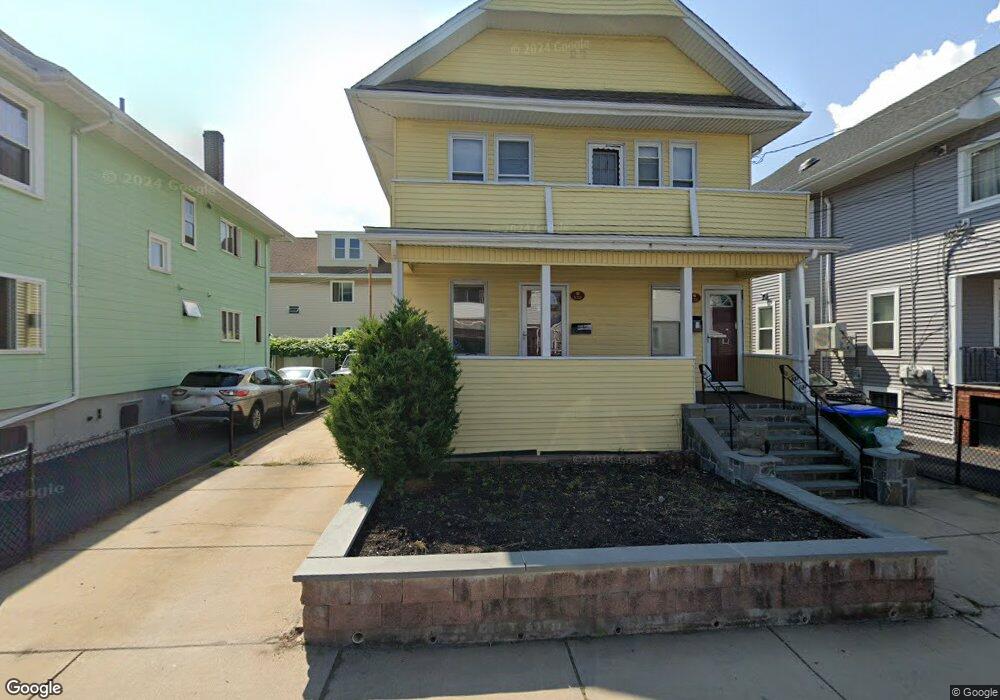
123 Willis Ave Medford, MA 02155
South Medford NeighborhoodEstimated Value: $874,686 - $1,069,000
2
Beds
2
Baths
1,948
Sq Ft
$506/Sq Ft
Est. Value
About This Home
This home is located at 123 Willis Ave, Medford, MA 02155 and is currently estimated at $985,672, approximately $505 per square foot. 123 Willis Ave is a home located in Middlesex County with nearby schools including Medford High School, St. Clement Elementary School, and Bright Future Educare Center.
Ownership History
Date
Name
Owned For
Owner Type
Purchase Details
Closed on
Apr 7, 2003
Sold by
Rossi Anthony
Bought by
Lavelle Michael
Current Estimated Value
Home Financials for this Owner
Home Financials are based on the most recent Mortgage that was taken out on this home.
Original Mortgage
$292,500
Outstanding Balance
$126,855
Interest Rate
5.88%
Mortgage Type
Purchase Money Mortgage
Estimated Equity
$858,817
Create a Home Valuation Report for This Property
The Home Valuation Report is an in-depth analysis detailing your home's value as well as a comparison with similar homes in the area
Home Values in the Area
Average Home Value in this Area
Purchase History
| Date | Buyer | Sale Price | Title Company |
|---|---|---|---|
| Lavelle Michael | $325,000 | -- |
Source: Public Records
Mortgage History
| Date | Status | Borrower | Loan Amount |
|---|---|---|---|
| Open | Lavelle Michael | $292,500 |
Source: Public Records
Tax History Compared to Growth
Tax History
| Year | Tax Paid | Tax Assessment Tax Assessment Total Assessment is a certain percentage of the fair market value that is determined by local assessors to be the total taxable value of land and additions on the property. | Land | Improvement |
|---|---|---|---|---|
| 2025 | $6,508 | $739,600 | $319,200 | $420,400 |
| 2024 | $5,982 | $702,100 | $304,000 | $398,100 |
| 2023 | $5,841 | $675,300 | $284,100 | $391,200 |
| 2022 | $5,852 | $649,500 | $258,300 | $391,200 |
| 2021 | $5,525 | $587,100 | $246,000 | $341,100 |
| 2020 | $5,441 | $592,700 | $246,000 | $346,700 |
| 2019 | $5,181 | $539,700 | $223,600 | $316,100 |
| 2018 | $4,934 | $481,800 | $203,300 | $278,500 |
| 2017 | $4,639 | $439,300 | $190,000 | $249,300 |
| 2016 | $4,216 | $376,800 | $172,700 | $204,100 |
| 2015 | $4,012 | $342,900 | $164,500 | $178,400 |
Source: Public Records
Map
Nearby Homes
- 159 Harvard St Unit 1R
- 39 Bonner Ave Unit 39
- 11 Bonner Ave Unit 2
- 9 Trout Ave
- 9 Trout Ave Unit 2
- 12 Wellesley St
- 252 Main St Unit 101
- 74 Windsor Rd
- 501 Main St
- 15 Colby St
- 57 Edward St
- 12 George St Unit 3
- 12 George St Unit 2
- 12 George St
- 595 Broadway Unit 302
- 595 Broadway Unit 101
- 595 Broadway Unit 202
- 552 Main St
- 561 Broadway Unit C1
- 26 Warner St
- 123 Willis Ave Unit 2
- 127 Willis Ave
- 121 Willis Ave
- 119 Willis Ave
- 93 Harvard St
- 115 Willis Ave
- 43 Wright Ave
- 43 Wright Ave
- 43 Wright Ave Unit 2
- 43 Wright Ave Unit 1
- 45 Wright Ave
- 43 Wright Ave Unit 1
- 126 Willis Ave
- 126 Willis Ave Unit 2
- 122 Willis Ave
- 128 Willis Ave
- 124 Willis Ave
- 124 Willis Ave Unit 2
- 124 Willis Ave Unit 2nd Floor
- 97 Harvard St