1230 1800th St Lincoln, IL 62656
Estimated Value: $207,000 - $276,819
--
Bed
--
Bath
1,446
Sq Ft
$166/Sq Ft
Est. Value
About This Home
This home is located at 1230 1800th St, Lincoln, IL 62656 and is currently estimated at $239,455, approximately $165 per square foot. 1230 1800th St is a home located in Logan County with nearby schools including Chester-East Lincoln Elementary School, Lincoln Community High School, and Carroll Catholic School.
Ownership History
Date
Name
Owned For
Owner Type
Purchase Details
Closed on
Jun 10, 2024
Sold by
Berglin Harold Jay and Berglin Kalyn
Bought by
Vanos Taylor E and Vanos George N
Current Estimated Value
Purchase Details
Closed on
Jun 29, 2017
Sold by
Deneen Daniel G
Bought by
Berglin Harold Jay and Berglin Kalyn M
Home Financials for this Owner
Home Financials are based on the most recent Mortgage that was taken out on this home.
Original Mortgage
$177,600
Interest Rate
3.94%
Mortgage Type
Adjustable Rate Mortgage/ARM
Purchase Details
Closed on
Dec 1, 2015
Sold by
Shawgo Phyllis J
Bought by
Shawgo Ashley L
Purchase Details
Closed on
Aug 6, 2015
Sold by
Shawgo Phyllis J
Bought by
Shawgo John Paul
Purchase Details
Closed on
Jan 21, 2011
Sold by
Parks Roby A
Bought by
Parks Leo H and Parks Mary Paul
Purchase Details
Closed on
Aug 8, 2010
Sold by
Shawgo Phyllis J and Heinzel Virginia R
Bought by
Parks Roby A
Create a Home Valuation Report for This Property
The Home Valuation Report is an in-depth analysis detailing your home's value as well as a comparison with similar homes in the area
Home Values in the Area
Average Home Value in this Area
Purchase History
| Date | Buyer | Sale Price | Title Company |
|---|---|---|---|
| Vanos Taylor E | -- | None Available | |
| Berglin Harold Jay | $172,000 | -- | |
| Shawgo Ashley L | -- | -- | |
| Shawgo John Paul | -- | -- | |
| Parks Leo H | -- | -- | |
| Parks Roby A | -- | -- |
Source: Public Records
Mortgage History
| Date | Status | Borrower | Loan Amount |
|---|---|---|---|
| Previous Owner | Berglin Harold Jay | $177,600 |
Source: Public Records
Tax History Compared to Growth
Tax History
| Year | Tax Paid | Tax Assessment Tax Assessment Total Assessment is a certain percentage of the fair market value that is determined by local assessors to be the total taxable value of land and additions on the property. | Land | Improvement |
|---|---|---|---|---|
| 2024 | $4,712 | $64,740 | $3,280 | $61,460 |
| 2023 | $4,416 | $59,950 | $3,040 | $56,910 |
| 2022 | $4,187 | $56,030 | $2,840 | $53,190 |
| 2021 | $4,035 | $53,800 | $2,730 | $51,070 |
| 2020 | $3,988 | $53,010 | $2,690 | $50,320 |
| 2019 | $3,873 | $51,970 | $2,640 | $49,330 |
| 2018 | $3,832 | $50,950 | $2,590 | $48,360 |
| 2017 | $3,018 | $50,950 | $2,590 | $48,360 |
| 2016 | $3,016 | $50,900 | $2,590 | $48,310 |
| 2015 | -- | $0 | $0 | $0 |
Source: Public Records
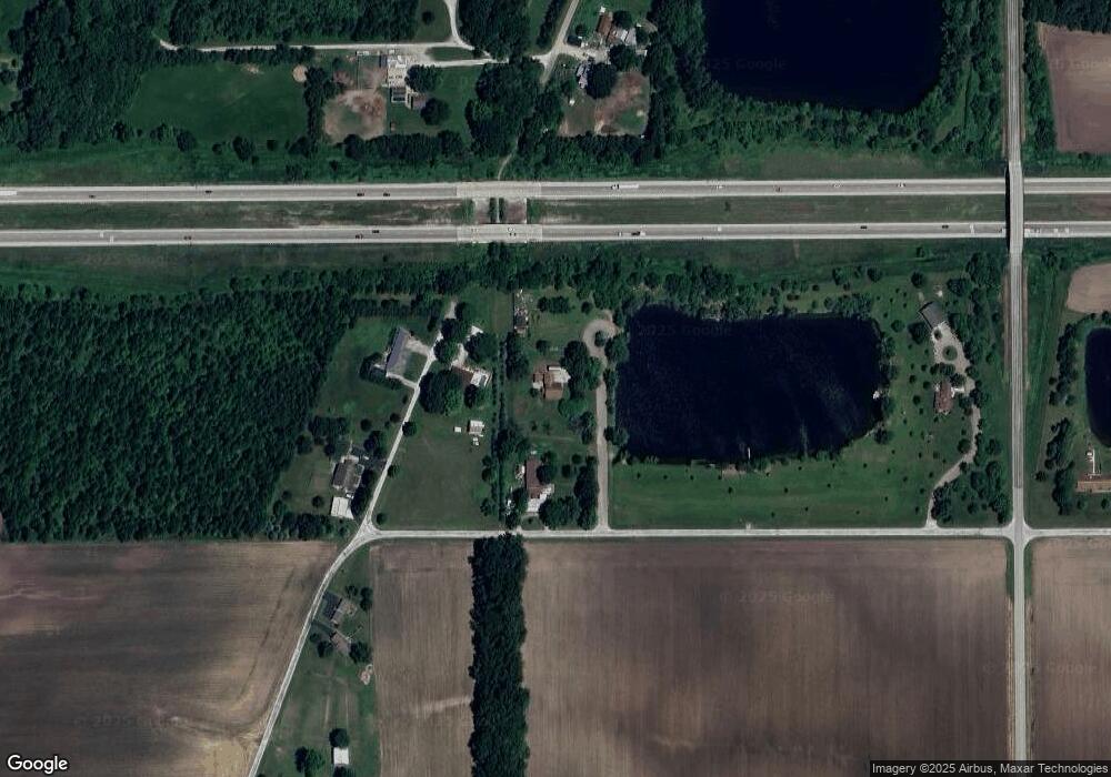
Map
Nearby Homes
- 1889 1250th Ave
- 703 Grand Ave
- 1708 Rutledge Dr
- 135 White Ave
- 1429 Rutledge Dr
- 707 Feldman Dr Unit 49
- 707 Feldman Dr Unit 17
- 515 Oglesby Ave
- 1842 Castle Pine Place
- 6 Meadow Ln
- 1102 N State St
- 1720 N Jefferson St
- 25 Rigg Dr
- 1306 N Kankakee St
- 14 Rigg Dr
- 1 Keokuk St
- 180 Regent St
- 1354 Airport Rd
- 1033 N Madison St
- 165 Mayfair Dr
- 1660 Pheasant Ridge Dr
- 1810 1218th Ave
- 1228 1800th St
- 1809 1218th Ave
- 1805 1218th Ave
- 1821 1235th Ave
- 1796 1218th Ave
- 1822 1235th Ave
- 1246 1800th St
- 1828 1235th Ave
- 1827 1235th Ave
- 1831 1235th Ave
- 1832 1235th Ave
- 1786 1218th Ave
- 1833 1235th Ave
- 1250 1800th St
- 1834 1235th Ave
- 1823 1250th Ave
- 1836 1235th Ave
- 1835 1235th Ave