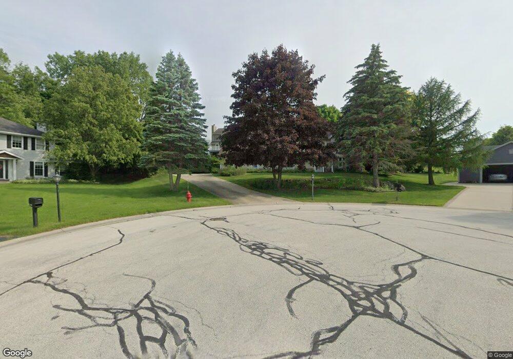
1230 Boxwood Ct Brookfield, WI 53045
Brookfield Town NeighborhoodEstimated Value: $537,246 - $605,000
--
Bed
--
Bath
--
Sq Ft
0.38
Acres
About This Home
This home is located at 1230 Boxwood Ct, Brookfield, WI 53045 and is currently estimated at $575,812. 1230 Boxwood Ct is a home located in Waukesha County with nearby schools including John F. Miller School, Hillcrest Elementary School, and Horning Middle School.
Ownership History
Date
Name
Owned For
Owner Type
Purchase Details
Closed on
Apr 20, 2010
Sold by
Virant Edward A and Virant Marie A
Bought by
Harvieux John T
Current Estimated Value
Home Financials for this Owner
Home Financials are based on the most recent Mortgage that was taken out on this home.
Original Mortgage
$220,000
Outstanding Balance
$146,673
Interest Rate
5.02%
Mortgage Type
New Conventional
Estimated Equity
$429,139
Purchase Details
Closed on
Jun 7, 2000
Sold by
Laporte Jon A and Laporte La Porte
Bought by
Virant Edward A and Virant Marie A
Home Financials for this Owner
Home Financials are based on the most recent Mortgage that was taken out on this home.
Original Mortgage
$150,000
Interest Rate
8.66%
Mortgage Type
Purchase Money Mortgage
Create a Home Valuation Report for This Property
The Home Valuation Report is an in-depth analysis detailing your home's value as well as a comparison with similar homes in the area
Home Values in the Area
Average Home Value in this Area
Purchase History
| Date | Buyer | Sale Price | Title Company |
|---|---|---|---|
| Harvieux John T | $300,000 | None Available | |
| Virant Edward A | $280,000 | -- |
Source: Public Records
Mortgage History
| Date | Status | Borrower | Loan Amount |
|---|---|---|---|
| Open | Harvieux John T | $220,000 | |
| Previous Owner | Virant Edward A | $150,000 |
Source: Public Records
Tax History Compared to Growth
Tax History
| Year | Tax Paid | Tax Assessment Tax Assessment Total Assessment is a certain percentage of the fair market value that is determined by local assessors to be the total taxable value of land and additions on the property. | Land | Improvement |
|---|---|---|---|---|
| 2024 | $3,927 | $411,900 | $92,600 | $319,300 |
| 2023 | $3,959 | $411,900 | $92,600 | $319,300 |
| 2022 | $4,175 | $411,900 | $92,600 | $319,300 |
| 2021 | $4,291 | $349,800 | $77,200 | $272,600 |
| 2020 | $4,422 | $349,800 | $77,200 | $272,600 |
| 2019 | $4,501 | $349,800 | $77,200 | $272,600 |
| 2018 | $3,979 | $312,300 | $73,500 | $238,800 |
| 2017 | $3,983 | $312,300 | $73,500 | $238,800 |
| 2016 | $4,006 | $297,000 | $73,500 | $223,500 |
| 2015 | $4,041 | $289,400 | $73,500 | $215,900 |
| 2014 | $4,391 | $289,400 | $73,500 | $215,900 |
| 2013 | $4,391 | $288,400 | $73,500 | $214,900 |
Source: Public Records
Map
Nearby Homes
- 1155 Gray Fox Hollow Ct
- 950 N Barker Rd
- 1660 Constitution Dr
- 1930 Cotton Tail Ln
- 1825 Derrin Ln
- 2423 Kossow Rd
- 19775 Trilby Ct
- 21905 W North Ave
- 19250 Benington Dr
- N19W22081 Foxview Ct Unit 2B
- 21300 Astolat Dr
- 19145 Arlyne Ct
- 1620 Greenview Dr
- 21710 Astolat Dr
- 2480 Lionel Ct
- 335 Kossow Rd
- 18880 Toldt Woods Dr Unit 6
- 1485 N Brookfield Rd
- W222N2310 Glenwood Ln
- 2550 Harmony Cir
- 20870 Hawthorne Ridge Ct
- 1240 Boxwood Ct
- 1220 Boxwood Ct
- 20880 Hawthorne Ridge Ct
- 20850 Hawthorne Ridge Ct
- 1250 Boxwood Ct
- 1200 Hawthorne Ridge Dr
- 1180 Hawthorne Ridge Dr
- 1260 Hawthorne Ridge Dr
- 20865 Hawthorne Ridge Ct
- 1255 Hawthorne Ridge Dr
- 1235 Hawthorne Ridge Dr
- 20875 Hawthorne Ridge Ct
- 20885 Hawthorne Ridge Ct
- 1125 Briarcliff Trail
- 1135 Briarcliff Trail
- 1225 Hawthorne Ridge Dr
- 1140 Hawthorne Ridge Dr
- 1250 Poplar Ridge Ct
- 1215 Hawthorne Ridge Dr