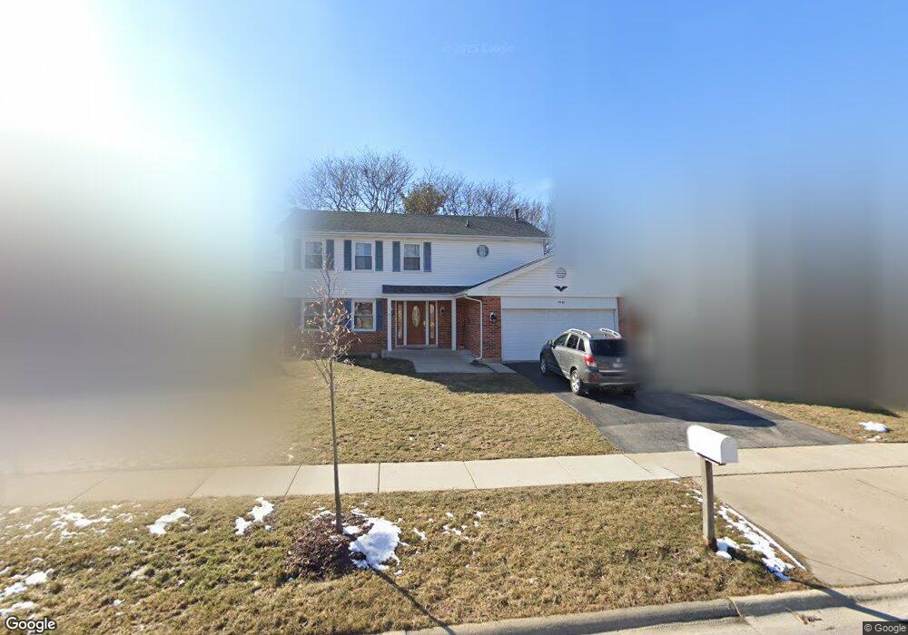
1230 Bridgeport Dr Schaumburg, IL 60193
South Schaumburg NeighborhoodEstimated Value: $585,000 - $625,000
4
Beds
3
Baths
2,351
Sq Ft
$256/Sq Ft
Est. Value
About This Home
This home is located at 1230 Bridgeport Dr, Schaumburg, IL 60193 and is currently estimated at $602,961, approximately $256 per square foot. 1230 Bridgeport Dr is a home located in Cook County with nearby schools including Frederick Nerge Elementary School, Margaret Mead Junior High School, and J B Conant High School.
Ownership History
Date
Name
Owned For
Owner Type
Purchase Details
Closed on
Jul 10, 2017
Sold by
Siegel Arnold L and Siegel Patricia E
Bought by
Patel Sanjay and Patel Joli
Current Estimated Value
Home Financials for this Owner
Home Financials are based on the most recent Mortgage that was taken out on this home.
Original Mortgage
$388,170
Outstanding Balance
$322,681
Interest Rate
3.91%
Mortgage Type
VA
Estimated Equity
$280,280
Purchase Details
Closed on
Dec 21, 1995
Sold by
Romito R Genaro N and Romito Pamela S
Bought by
Siegel Arnold L and Siegel Patricia E
Home Financials for this Owner
Home Financials are based on the most recent Mortgage that was taken out on this home.
Original Mortgage
$142,000
Interest Rate
7.28%
Create a Home Valuation Report for This Property
The Home Valuation Report is an in-depth analysis detailing your home's value as well as a comparison with similar homes in the area
Home Values in the Area
Average Home Value in this Area
Purchase History
| Date | Buyer | Sale Price | Title Company |
|---|---|---|---|
| Patel Sanjay | $380,000 | Attorneys Title Guaranty Fun | |
| Siegel Arnold L | $219,000 | -- |
Source: Public Records
Mortgage History
| Date | Status | Borrower | Loan Amount |
|---|---|---|---|
| Open | Patel Sanjay | $388,170 | |
| Previous Owner | Siegel Arnold L | $142,000 |
Source: Public Records
Tax History Compared to Growth
Tax History
| Year | Tax Paid | Tax Assessment Tax Assessment Total Assessment is a certain percentage of the fair market value that is determined by local assessors to be the total taxable value of land and additions on the property. | Land | Improvement |
|---|---|---|---|---|
| 2024 | $11,117 | $43,000 | $9,625 | $33,375 |
| 2023 | $10,751 | $43,000 | $9,625 | $33,375 |
| 2022 | $10,751 | $43,000 | $9,625 | $33,375 |
| 2021 | $9,523 | $34,751 | $5,250 | $29,501 |
| 2020 | $9,427 | $34,751 | $5,250 | $29,501 |
| 2019 | $9,431 | $38,613 | $5,250 | $33,363 |
| 2018 | $10,254 | $37,601 | $4,593 | $33,008 |
| 2017 | $11,107 | $37,601 | $4,593 | $33,008 |
| 2016 | $7,871 | $37,601 | $4,593 | $33,008 |
| 2015 | $8,954 | $34,511 | $3,937 | $30,574 |
| 2014 | $8,672 | $34,511 | $3,937 | $30,574 |
| 2013 | $8,650 | $34,511 | $3,937 | $30,574 |
Source: Public Records
Map
Nearby Homes
- 620 S Point Dr
- 426 E Niagara Ave
- 421 E Wise Rd
- 826 Thornton Ct Unit 2AL
- 833 Thornton Ct Unit 2B
- 1100 Boston Harbor Unit 7004
- 1910 Baltimore Dr
- 1810 Hawk Ln
- 718 N Point Dr
- 205 Nantucket Harbor Unit 104
- 630 Cross Creek Dr W Unit BB2
- 124 E Monterey Ave
- 966 Cumberland Ct Unit B2
- 916 Manchester Cir Unit 91A
- 126 Manchester Ct Unit 61B
- 382 Newberry Dr
- 1022 Tennessee Ln
- 492 Canterbury Trail
- 722 Merlin Dr Unit 16
- 36 Shore Dr
- 1234 Bridgeport Dr
- 1226 Bridgeport Dr Unit 3A
- 1231 Salford Dr Unit 3A
- 1222 Bridgeport Dr Unit 3A
- 1238 Bridgeport Dr
- 1227 Salford Dr
- 1301 Salford Dr Unit 3A
- 1233 Bridgeport Dr
- 1229 Bridgeport Dr
- 1223 Salford Dr
- 1305 Salford Dr
- 1218 Bridgeport Dr
- 1300 Bridgeport Dr
- 1225 Bridgeport Dr
- 1219 Salford Dr
- 1309 Salford Dr
- 1301 Bridgeport Dr
- 1221 Bridgeport Dr
- 1214 Bridgeport Dr
- 704 Partridge Dr