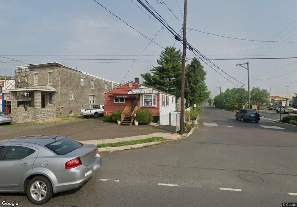
1230 Bristol Pike Bensalem, PA 19020
Estimated Value: $268,000 - $339,000
3
Beds
1
Bath
--
Sq Ft
5,227
Sq Ft Lot
About This Home
This home is located at 1230 Bristol Pike, Bensalem, PA 19020 and is currently estimated at $312,902. 1230 Bristol Pike is a home located in Bucks County with nearby schools including Robert K. Shafer Middle School, School Lane Charter School, and St Charles Borromeo School.
Ownership History
Date
Name
Owned For
Owner Type
Purchase Details
Closed on
Jul 29, 1994
Sold by
Fusaro Joseph T and Fusaro Ann C
Bought by
Offenback Thomas J and Offenback Margaret A
Current Estimated Value
Home Financials for this Owner
Home Financials are based on the most recent Mortgage that was taken out on this home.
Original Mortgage
$72,100
Interest Rate
8.52%
Purchase Details
Closed on
Mar 2, 1992
Bought by
Fusaro Joseph T and Fusaro Ann C
Create a Home Valuation Report for This Property
The Home Valuation Report is an in-depth analysis detailing your home's value as well as a comparison with similar homes in the area
Home Values in the Area
Average Home Value in this Area
Purchase History
| Date | Buyer | Sale Price | Title Company |
|---|---|---|---|
| Offenback Thomas J | $108,000 | First American Title Ins Co | |
| Fusaro Joseph T | -- | -- |
Source: Public Records
Mortgage History
| Date | Status | Borrower | Loan Amount |
|---|---|---|---|
| Closed | Offenback Thomas J | $72,100 |
Source: Public Records
Tax History Compared to Growth
Tax History
| Year | Tax Paid | Tax Assessment Tax Assessment Total Assessment is a certain percentage of the fair market value that is determined by local assessors to be the total taxable value of land and additions on the property. | Land | Improvement |
|---|---|---|---|---|
| 2025 | $1,659 | $7,600 | $6,720 | $880 |
| 2024 | $1,659 | $7,600 | $6,720 | $880 |
| 2023 | $1,612 | $7,600 | $6,720 | $880 |
| 2022 | $1,603 | $7,600 | $6,720 | $880 |
| 2021 | $1,603 | $7,600 | $6,720 | $880 |
| 2020 | $1,587 | $7,600 | $6,720 | $880 |
| 2019 | $1,551 | $7,600 | $6,720 | $880 |
| 2018 | $1,515 | $7,600 | $6,720 | $880 |
| 2017 | $1,506 | $7,600 | $6,720 | $880 |
| 2016 | $1,506 | $7,600 | $6,720 | $880 |
| 2015 | -- | $7,600 | $6,720 | $880 |
| 2014 | -- | $7,600 | $6,720 | $880 |
Source: Public Records
Map
Nearby Homes
- 1202 Clinton Ave
- 1126 Evelyn Ave
- 1236 Whittier Ave
- 1080 Buttonwood Ave
- 1039 Clinton Ave
- 4471 Ernie Davis Cir
- 4161 Orchard Ln
- 827 Mitchell Ave
- 124 Meadow Ln
- 1103 Colonial Ave
- 4374 Deerpath Ln
- 1155 Regina Ave
- 102 Village Ln
- 1742 Paradise Ln
- 4274 Lawnside Rd
- 4208 Greenmount Rd
- 4207 Fairdale Rd
- 1032 Sunset Ln
- 4122 Fairdale Rd
- 943 Cornwells Ave
- 1224 Bristol Pike
- 1031 Whittier Ave
- 1037 Whittier Ave
- 1045 Whittier Ave
- 1208 Camac St
- 1215 Bristol Pike
- 1202 Bristol Pike
- 1059 Whittier Ave
- 1048 Whittier Ave
- 1190 Camac St
- 1054 Whittier Ave
- 1188 Bristol Pike
- 1203 Bristol Pike
- 1184 Camac St
- 1049 Lowell Ave
- 1062 Whittier Ave
- 1193 Bristol Pike Unit A
- 1193 Bristol Pike Unit D
- 1193 Bristol Pike
- 1193 Bristol Pike Unit D