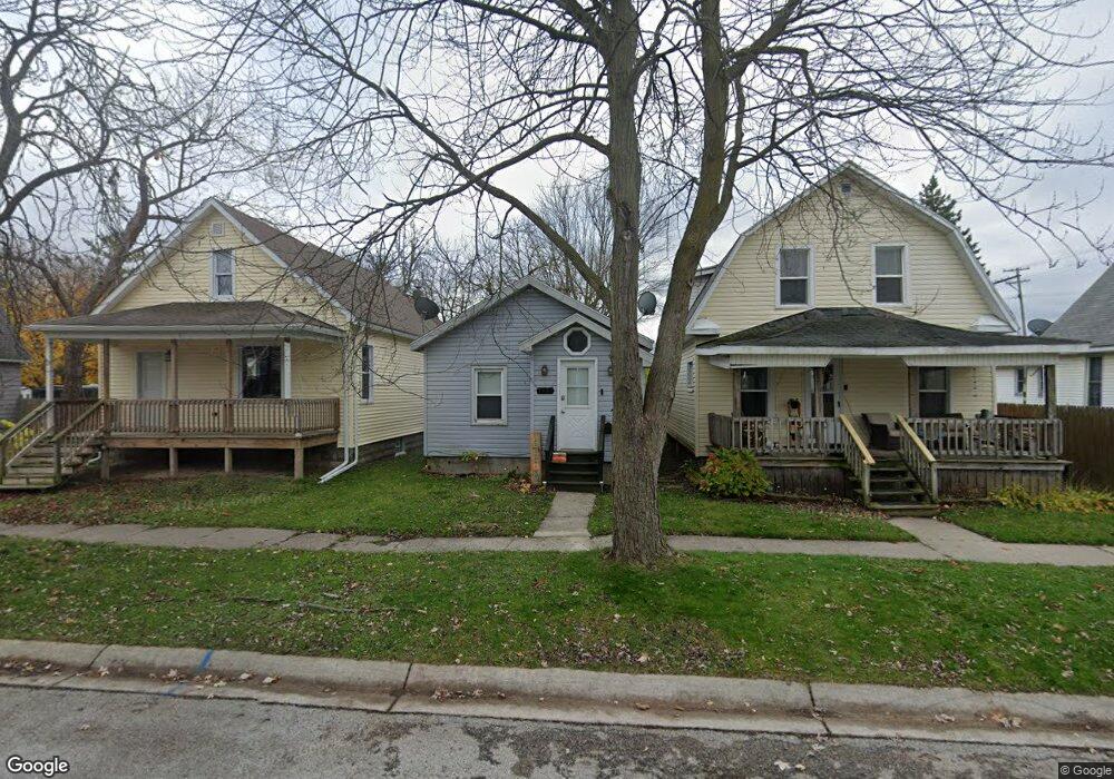
1230 Chestnut St Port Huron, MI 48060
Estimated Value: $63,000 - $110,000
2
Beds
1
Bath
671
Sq Ft
$128/Sq Ft
Est. Value
About This Home
This home is located at 1230 Chestnut St, Port Huron, MI 48060 and is currently estimated at $85,687, approximately $127 per square foot. 1230 Chestnut St is a home located in St. Clair County with nearby schools including Woodrow Wilson Elementary School, Central Middle School, and Port Huron High School.
Ownership History
Date
Name
Owned For
Owner Type
Purchase Details
Closed on
Apr 7, 2022
Sold by
Shoreline Property Group Llc
Bought by
Ff & R Llc
Current Estimated Value
Purchase Details
Closed on
Dec 29, 2017
Sold by
Mcneill Murray F and Mcneill Beverely J
Bought by
Shoreline Property Group Llc
Create a Home Valuation Report for This Property
The Home Valuation Report is an in-depth analysis detailing your home's value as well as a comparison with similar homes in the area
Home Values in the Area
Average Home Value in this Area
Purchase History
| Date | Buyer | Sale Price | Title Company |
|---|---|---|---|
| Ff & R Llc | $1,650,000 | Touma Watson Whaling Coury & S | |
| Shoreline Property Group Llc | -- | None Available | |
| Mcneill Robert | $292,653 | None Available |
Source: Public Records
Tax History Compared to Growth
Tax History
| Year | Tax Paid | Tax Assessment Tax Assessment Total Assessment is a certain percentage of the fair market value that is determined by local assessors to be the total taxable value of land and additions on the property. | Land | Improvement |
|---|---|---|---|---|
| 2025 | $1,908 | $29,400 | $0 | $0 |
| 2024 | $1,651 | $28,400 | $0 | $0 |
| 2023 | $1,564 | $25,400 | $0 | $0 |
| 2022 | $865 | $21,200 | $0 | $0 |
| 2021 | $1,034 | $19,500 | $0 | $0 |
| 2020 | $891 | $17,000 | $17,000 | $0 |
| 2019 | $882 | $12,800 | $0 | $0 |
| 2018 | $864 | $12,800 | $0 | $0 |
| 2017 | $733 | $12,400 | $0 | $0 |
| 2016 | $687 | $12,400 | $0 | $0 |
| 2015 | $628 | $12,100 | $12,100 | $0 |
| 2014 | $628 | $11,700 | $11,700 | $0 |
| 2013 | -- | $11,700 | $0 | $0 |
Source: Public Records
Map
Nearby Homes
- 1228 Chestnut St
- 1232 Chestnut St
- 1238 Chestnut St
- 1226 Chestnut St
- 1229 Chestnut St
- 1414 13th St
- 1223 Chestnut St
- 1334 13th St
- 1217 Chestnut St
- 1224 Chestnut St
- 1229 White St
- 1328 13th St
- 1220 Chestnut St
- 1211 Chestnut St Unit 1213
- 1411 13th St
- 1420 13th St
- 1401 13th St
- 1324 13th St
- 1415 13th St
- 1322 13th St