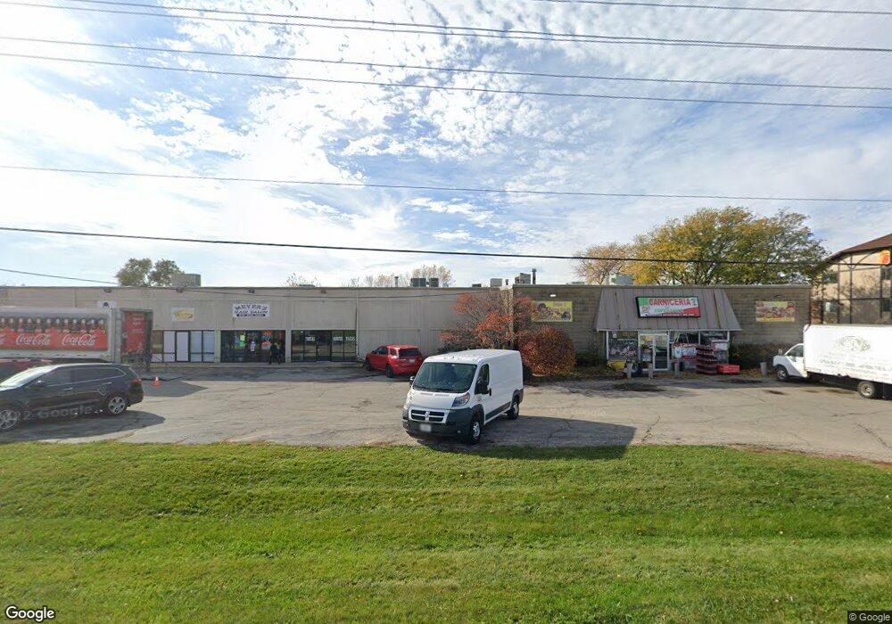
1230 Davis Rd Wood Stock, IL 60098
Estimated Value: $1,366,491
--
Bed
--
Bath
20,878
Sq Ft
$65/Sq Ft
Est. Value
About This Home
This home is located at 1230 Davis Rd, Wood Stock, IL 60098 and is currently estimated at $1,366,491, approximately $65 per square foot. 1230 Davis Rd is a home located in McHenry County with nearby schools including Prairiewood Elementary School, Creekside Middle School, and Woodstock High School.
Ownership History
Date
Name
Owned For
Owner Type
Purchase Details
Closed on
Sep 29, 2000
Sold by
Bitton Isaac
Bought by
Poplar Grove Development Corp
Current Estimated Value
Home Financials for this Owner
Home Financials are based on the most recent Mortgage that was taken out on this home.
Original Mortgage
$600,000
Outstanding Balance
$225,841
Interest Rate
8.37%
Mortgage Type
Commercial
Estimated Equity
$1,140,650
Purchase Details
Closed on
Jan 12, 1996
Sold by
Bitton Isaac and Bitton Miriam
Bought by
Bitton Isaac and Bitton Miriam
Purchase Details
Closed on
Oct 31, 1994
Sold by
Bitton Isaac
Bought by
Bitton Isaac and Bitton Miriam
Create a Home Valuation Report for This Property
The Home Valuation Report is an in-depth analysis detailing your home's value as well as a comparison with similar homes in the area
Home Values in the Area
Average Home Value in this Area
Purchase History
| Date | Buyer | Sale Price | Title Company |
|---|---|---|---|
| Poplar Grove Development Corp | $659,600 | Northland Title Llc | |
| Bitton Isaac | -- | -- | |
| Bitton Isaac | -- | -- |
Source: Public Records
Mortgage History
| Date | Status | Borrower | Loan Amount |
|---|---|---|---|
| Open | Poplar Grove Development Corp | $600,000 |
Source: Public Records
Tax History Compared to Growth
Tax History
| Year | Tax Paid | Tax Assessment Tax Assessment Total Assessment is a certain percentage of the fair market value that is determined by local assessors to be the total taxable value of land and additions on the property. | Land | Improvement |
|---|---|---|---|---|
| 2024 | $28,886 | $313,520 | $42,842 | $270,678 |
| 2023 | $27,736 | $283,523 | $38,743 | $244,780 |
| 2022 | $31,257 | $303,169 | $34,383 | $268,786 |
| 2021 | $29,893 | $283,256 | $32,125 | $251,131 |
| 2020 | $28,918 | $269,152 | $30,525 | $238,627 |
| 2019 | $28,186 | $256,922 | $29,138 | $227,784 |
| 2018 | $26,777 | $240,233 | $33,239 | $206,994 |
| 2017 | $26,445 | $226,102 | $31,284 | $194,818 |
| 2016 | $26,422 | $209,354 | $28,967 | $180,387 |
| 2013 | -- | $202,384 | $14,727 | $187,657 |
Source: Public Records
Map
Nearby Homes
- 999 Eastwood Dr
- 2007 Edgewood Dr
- 377 Fieldstone Dr
- 1500 Sandpiper Ln
- 1380 Sandpiper Ln
- 339 Meadowsedge Dr
- 324 Fieldstone Dr
- LOT 7 Dillard Ct
- 12 Duncan Place
- Lot 13 Duncan Place
- 2681 Braeburn Way
- 1522 Fox Sedge Trail
- 213 Fieldstone Dr
- 226 Wildmeadow Ln
- 301 Clover Chase Cir Unit 5
- 501 Leah Ln Unit 2C
- 200 Macintosh Ave
- 430 Laurel Ave
- 1026 Heron Way
- 1419 White Oak Ln
- 1230 Davis Rd Unit D
- 1230 Davis Rd Unit E
- 1230 Davis Rd Unit F
- 1200 Davis Rd
- 1208 Davis Rd
- 1212 Davis Rd
- 11681 Catalpa Ln
- 11609 Catalpa Ln
- 11671 Catalpa Ln
- 2035 Eastwood Dr
- 11820 Catalpa Ln
- 11820 Catapla Ln
- 11705 Catalpa Ln
- 11904 Catalpa Ln
- 11908 Catalpa Ln
- 2055 S Eastwood Dr
- 2055 Illinois 47
- 176 S Il Route 47
- 2121 Willow Brooke Dr
- 0 Catalpa Ln