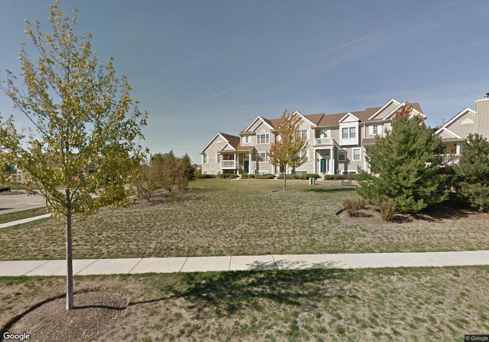
1230 Derry Ln Pingree Grove, IL 60140
Estimated Value: $278,000 - $292,000
3
Beds
2
Baths
1,617
Sq Ft
$175/Sq Ft
Est. Value
About This Home
This home is located at 1230 Derry Ln, Pingree Grove, IL 60140 and is currently estimated at $282,982, approximately $175 per square foot. 1230 Derry Ln is a home located in Kane County with nearby schools including Hampshire Middle School, Hampshire High School, and Cambridge Lakes Charter School.
Ownership History
Date
Name
Owned For
Owner Type
Purchase Details
Closed on
Aug 5, 2009
Sold by
Swistun Alex
Bought by
Stadler Liana
Current Estimated Value
Home Financials for this Owner
Home Financials are based on the most recent Mortgage that was taken out on this home.
Original Mortgage
$137,362
Outstanding Balance
$90,831
Interest Rate
5.49%
Mortgage Type
FHA
Estimated Equity
$192,151
Purchase Details
Closed on
Mar 15, 2006
Sold by
Drh Cambridge Homes Inc
Bought by
Swistun Alex
Home Financials for this Owner
Home Financials are based on the most recent Mortgage that was taken out on this home.
Original Mortgage
$211,000
Interest Rate
6.38%
Mortgage Type
Fannie Mae Freddie Mac
Create a Home Valuation Report for This Property
The Home Valuation Report is an in-depth analysis detailing your home's value as well as a comparison with similar homes in the area
Home Values in the Area
Average Home Value in this Area
Purchase History
| Date | Buyer | Sale Price | Title Company |
|---|---|---|---|
| Stadler Liana | $150,000 | Millennium Title Svcs Inc | |
| Swistun Alex | $234,500 | First American Title |
Source: Public Records
Mortgage History
| Date | Status | Borrower | Loan Amount |
|---|---|---|---|
| Open | Stadler Liana | $137,362 | |
| Previous Owner | Swistun Alex | $211,000 |
Source: Public Records
Tax History Compared to Growth
Tax History
| Year | Tax Paid | Tax Assessment Tax Assessment Total Assessment is a certain percentage of the fair market value that is determined by local assessors to be the total taxable value of land and additions on the property. | Land | Improvement |
|---|---|---|---|---|
| 2024 | $5,512 | $74,396 | $14,428 | $59,968 |
| 2023 | $5,355 | $67,278 | $13,048 | $54,230 |
| 2022 | $5,017 | $58,887 | $12,030 | $46,857 |
| 2021 | $4,881 | $55,387 | $11,315 | $44,072 |
| 2020 | $4,791 | $53,973 | $11,026 | $42,947 |
| 2019 | $4,681 | $51,803 | $10,583 | $41,220 |
| 2018 | $5,293 | $57,991 | $9,932 | $48,059 |
| 2017 | $5,192 | $55,224 | $9,458 | $45,766 |
| 2016 | $5,170 | $52,574 | $9,004 | $43,570 |
| 2015 | -- | $49,654 | $8,504 | $41,150 |
| 2014 | -- | $49,654 | $8,504 | $41,150 |
| 2013 | -- | $51,860 | $8,660 | $43,200 |
Source: Public Records
Map
Nearby Homes
- 898 Emerald Dr
- 932 Clover Ln
- 955 Emerald Dr
- 1157 Clearwater Dr
- Lot 019 Old Stage Rd
- 562 Lancaster Dr
- 460 Lancaster Dr
- 1286 Newport Cir
- 1173 Sonoma Ct
- 1731 Dempsey Cir
- 1385 Broadland Dr
- 410 Brookhaven Trail
- 700 Brighton Dr
- 395 Brookhaven Trail
- 1482 Hollow Tree Ln
- 672 N Falls Cir
- 1641 Sandcastle Ln
- 560 Canterbury Ln
- 1701 Windward Dr
- 1192 Alta Vista Dr
- 1232 Derry Ln
- 1234 Derry Ln
- 1236 Derry Ln
- 1279 Shamrock Ln
- 1238 Derry Ln
- 1281 Shamrock Ln
- 1240 Derry Ln
- 1283 Shamrock Ln
- 1285 Shamrock Ln
- 1260 Derry Ln
- 1262 Derry Ln
- 1287 Shamrock Ln
- 1252 Shamrock Ln
- 1264 Derry Ln
- 1254 Shamrock Ln
- 1289 Shamrock Ln
- 1256 Shamrock Ln Unit 1256
- 967 Emerald Dr
- 1268 Derry Ln
- 1258 Shamrock Ln