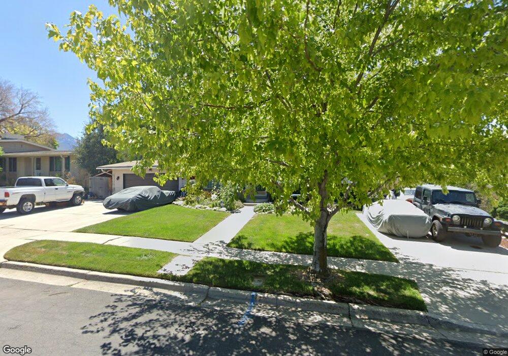
1230 E Sandra Cir Salt Lake City, UT 84121
Estimated Value: $592,000 - $623,982
5
Beds
2
Baths
2,604
Sq Ft
$235/Sq Ft
Est. Value
About This Home
This home is located at 1230 E Sandra Cir, Salt Lake City, UT 84121 and is currently estimated at $610,996, approximately $234 per square foot. 1230 E Sandra Cir is a home located in Salt Lake County with nearby schools including Woodstock Elementary School, Bonneville Junior High School, and Cottonwood High School.
Ownership History
Date
Name
Owned For
Owner Type
Purchase Details
Closed on
Sep 1, 1999
Sold by
Halm Allen R
Bought by
Smith Philip B and Smith Tiffany A
Current Estimated Value
Home Financials for this Owner
Home Financials are based on the most recent Mortgage that was taken out on this home.
Original Mortgage
$147,200
Outstanding Balance
$42,467
Interest Rate
7.47%
Estimated Equity
$568,529
Purchase Details
Closed on
Dec 29, 1997
Sold by
Phillips Byron L and Phillips Billie Jo
Bought by
Halm Allen R
Home Financials for this Owner
Home Financials are based on the most recent Mortgage that was taken out on this home.
Original Mortgage
$172,650
Interest Rate
7.16%
Purchase Details
Closed on
Nov 2, 1994
Sold by
Halford Kathleen Ann and Halford Richard M
Bought by
Phillips Byron L and Phillips Billie Jo
Home Financials for this Owner
Home Financials are based on the most recent Mortgage that was taken out on this home.
Original Mortgage
$143,550
Interest Rate
8.78%
Create a Home Valuation Report for This Property
The Home Valuation Report is an in-depth analysis detailing your home's value as well as a comparison with similar homes in the area
Home Values in the Area
Average Home Value in this Area
Purchase History
| Date | Buyer | Sale Price | Title Company |
|---|---|---|---|
| Smith Philip B | -- | Landmark Title | |
| Halm Allen R | -- | -- | |
| Phillips Byron L | -- | -- |
Source: Public Records
Mortgage History
| Date | Status | Borrower | Loan Amount |
|---|---|---|---|
| Open | Smith Philip B | $147,200 | |
| Previous Owner | Halm Allen R | $172,650 | |
| Previous Owner | Phillips Byron L | $143,550 |
Source: Public Records
Tax History
| Year | Tax Paid | Tax Assessment Tax Assessment Total Assessment is a certain percentage of the fair market value that is determined by local assessors to be the total taxable value of land and additions on the property. | Land | Improvement |
|---|---|---|---|---|
| 2025 | -- | $533,200 | $266,700 | $266,500 |
| 2024 | -- | $492,600 | $258,500 | $234,100 |
| 2023 | $518 | $417,800 | $249,300 | $168,500 |
| 2022 | $218 | $462,400 | $244,400 | $218,000 |
| 2021 | $3,063 | $364,800 | $188,000 | $176,800 |
| 2020 | $2,556 | $359,900 | $185,000 | $174,900 |
| 2019 | $2,282 | $319,200 | $116,000 | $203,200 |
| 2016 | $1,706 | $235,700 | $116,000 | $119,700 |
Source: Public Records
Map
Nearby Homes
- 6129 S 1300 E Unit T
- 6129 S 1300 E Unit V
- 6163 S 1300 E Unit J
- 6191 S Rainsborough Rd
- 1358 E Maplewood Cir
- 5680 S 1300 E
- 5809 S Waterbury Dr Unit D
- 1557 E Waterbury Dr Unit A
- 5761 S Waterbury Cir Unit I
- 952 E Bridges Ct
- 6491 S 1300 E
- 1014 E 5650 S
- 1369 E Farm Hill Dr
- 6264 S Steeple Chase Ln
- 5647 S Park Place W
- 1694 E Cannes Way
- 5500 S Brockway St
- 6427 Rodeo Ln
- 1592 E Park Place N
- 927 E 5650 S
- 1230 Sandra Cir
- 1242 Sandra Cir
- 1220 Sandra Cir
- 1231 Hemingway Dr
- 1241 Hemingway Dr
- 1254 Sandra Cir
- 1254 E Sandra Cir
- 1223 E Sandra Cir
- 1223 Sandra Cir
- 1221 Hemingway Dr
- 1235 Sandra Cir
- 1251 Hemingway Dr
- 1247 Sandra Cir
- 1261 E Hemingway Dr
- 1255 E Sandra Cir
- 5965 Lupine Way
- 1261 Hemingway Dr
- 1260 Sandra Cir
- 5965 S Lupine Way
- 1255 Sandra Cir
Your Personal Tour Guide
Ask me questions while you tour the home.