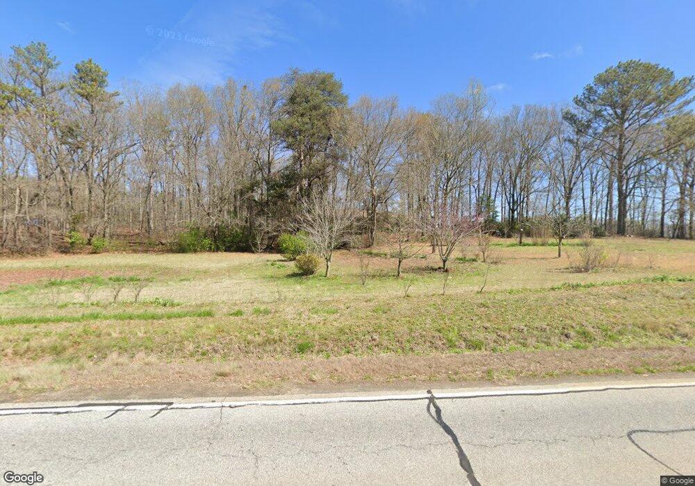
1230 Highway 198 Carnesville, GA 30521
Estimated Value: $364,469 - $493,000
4
Beds
2
Baths
2,961
Sq Ft
$145/Sq Ft
Est. Value
About This Home
This home is located at 1230 Highway 198, Carnesville, GA 30521 and is currently estimated at $429,117, approximately $144 per square foot. 1230 Highway 198 is a home located in Franklin County with nearby schools including Franklin County High School.
Ownership History
Date
Name
Owned For
Owner Type
Purchase Details
Closed on
Jun 17, 2025
Sold by
Burroughs Christina
Bought by
Barron Dennis and Barron Linda
Current Estimated Value
Purchase Details
Closed on
Jan 20, 2023
Sold by
Burroughs Robert D
Bought by
Perriello Paul Dennis and Perriello Carey C
Purchase Details
Closed on
Aug 12, 2022
Sold by
Burroughs Robert D
Bought by
Burroughs Robert D and Burroughs Christina J
Purchase Details
Closed on
Mar 18, 2005
Sold by
Lovell Delores
Bought by
Burroughs Robert S and Burroughs Ruthann S
Purchase Details
Closed on
Apr 6, 2001
Sold by
Burroughs Robert Dal
Bought by
Burroughs Robert Dal
Purchase Details
Closed on
Jan 23, 1997
Bought by
Burroughs Robert Dal
Create a Home Valuation Report for This Property
The Home Valuation Report is an in-depth analysis detailing your home's value as well as a comparison with similar homes in the area
Home Values in the Area
Average Home Value in this Area
Purchase History
| Date | Buyer | Sale Price | Title Company |
|---|---|---|---|
| Barron Dennis | $200,000 | -- | |
| Perriello Paul Dennis | $17,250 | -- | |
| Burroughs Robert D | -- | -- | |
| Burroughs Robert S | -- | -- | |
| Lovell Dolores | -- | -- | |
| Burroughs Robert Dal | -- | -- | |
| Burroughs Robert Dal | $115,000 | -- |
Source: Public Records
Tax History Compared to Growth
Tax History
| Year | Tax Paid | Tax Assessment Tax Assessment Total Assessment is a certain percentage of the fair market value that is determined by local assessors to be the total taxable value of land and additions on the property. | Land | Improvement |
|---|---|---|---|---|
| 2024 | $2,541 | $126,746 | $4,850 | $121,896 |
| 2023 | $2,644 | $122,483 | $11,669 | $110,814 |
| 2022 | $2,321 | $109,966 | $9,226 | $100,740 |
| 2021 | $2,051 | $94,549 | $9,226 | $85,323 |
| 2020 | $1,928 | $79,354 | $9,226 | $70,128 |
| 2019 | $1,863 | $79,354 | $9,226 | $70,128 |
| 2018 | $1,607 | $69,820 | $8,868 | $60,952 |
| 2017 | $1,671 | $69,819 | $8,868 | $60,951 |
| 2016 | $1,537 | $62,670 | $8,868 | $53,802 |
| 2015 | -- | $62,670 | $8,868 | $53,802 |
| 2014 | -- | $65,540 | $8,868 | $56,672 |
| 2013 | -- | $66,552 | $8,868 | $57,684 |
Source: Public Records
Map
Nearby Homes
- 0 Morris Trail Unit 10394631
- 0 Morris Trail Unit 7470661
- 0 Georgia 198
- 95 Farmers Academy Rd
- 5821 Georgia 320
- 0 Highway 320 Unit 10523383
- 1845 Old Stagecoach Rd
- 0 Old Federal Rd Unit 6931372
- 110 Adaline Ct
- 1079 Hardeman Farm Rd
- 8188 Sandy Cross Rd
- 140 Summit Ln
- HWY 51 Owl Hollow Rd
- 6343 Georgia 198
- 125 Lewis Crump Rd
- 210 Nora Moss Ln
- 0 Falcon Ln Unit 10495019
- 0 Falcon Ln Unit 1024877
- 735 Bowersville Rd
- 0 Farmers Academy Rd Unit 21222581
- 1290 Highway 198
- 1181 Highway 198
- 1245 Highway 198
- 1390 Highway 198
- 1390 Georgia 198
- 1360 Georgia 198
- 1360 Highway 198
- 1440 Georgia 198
- 1440 Highway 198
- 1020 Highway 198
- 1448 Highway 198
- 1492 Highway 198
- 1492 Georgia 198
- 1551 Highway 198
- 900 Highway 198
- 0 Deer Meadows Estates Rd Unit 7429954
- 0 Deer Meadows Estates Rd Unit 7234421
- 0 Deer Meadows Estates Rd
- 192 Deer Meadows Estates Rd
- Lot 2 Deer Meadows Rd
