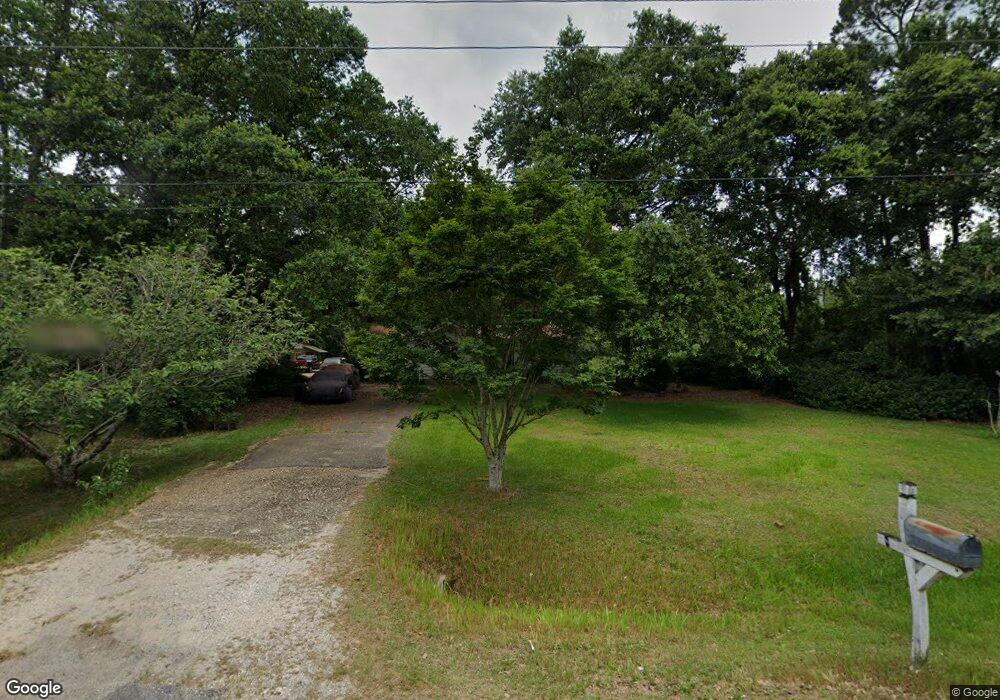
1230 Leroy Stevens Rd Mobile, AL 36695
Kimberline NeighborhoodEstimated Value: $179,017 - $222,000
3
Beds
1
Bath
1,829
Sq Ft
$114/Sq Ft
Est. Value
About This Home
This home is located at 1230 Leroy Stevens Rd, Mobile, AL 36695 and is currently estimated at $208,754, approximately $114 per square foot. 1230 Leroy Stevens Rd is a home located in Mobile County with nearby schools including O'rourke Elementary School, Bernice J Causey Middle School, and Baker High School.
Ownership History
Date
Name
Owned For
Owner Type
Purchase Details
Closed on
Nov 23, 2004
Sold by
Elliott George Howard
Bought by
Barnhill Helen Jean
Current Estimated Value
Purchase Details
Closed on
Feb 10, 2000
Sold by
Thomas Ethel F and Elliott Margaret L
Bought by
Griffin Thomas S and Griffin Deborah A
Home Financials for this Owner
Home Financials are based on the most recent Mortgage that was taken out on this home.
Original Mortgage
$80,000
Interest Rate
8.11%
Create a Home Valuation Report for This Property
The Home Valuation Report is an in-depth analysis detailing your home's value as well as a comparison with similar homes in the area
Home Values in the Area
Average Home Value in this Area
Purchase History
| Date | Buyer | Sale Price | Title Company |
|---|---|---|---|
| Barnhill Helen Jean | -- | -- | |
| Griffin Thomas S | -- | -- |
Source: Public Records
Mortgage History
| Date | Status | Borrower | Loan Amount |
|---|---|---|---|
| Previous Owner | Griffin Thomas S | $80,000 |
Source: Public Records
Tax History Compared to Growth
Tax History
| Year | Tax Paid | Tax Assessment Tax Assessment Total Assessment is a certain percentage of the fair market value that is determined by local assessors to be the total taxable value of land and additions on the property. | Land | Improvement |
|---|---|---|---|---|
| 2024 | -- | $14,960 | $2,400 | $12,560 |
| 2023 | $0 | $11,340 | $1,600 | $9,740 |
| 2022 | $0 | $9,060 | $1,600 | $7,460 |
| 2021 | $0 | $8,310 | $1,000 | $7,310 |
| 2020 | $0 | $8,290 | $980 | $7,310 |
| 2019 | $0 | $7,280 | $0 | $0 |
| 2018 | $0 | $7,280 | $0 | $0 |
| 2017 | $0 | $7,280 | $0 | $0 |
| 2016 | -- | $7,480 | $0 | $0 |
| 2013 | -- | $6,600 | $0 | $0 |
Source: Public Records
Map
Nearby Homes
- 8053 Stacey Rd Unit 36
- 1350 Schillinger Rd S
- 8391 Jeff Hamilton Road Extension
- 8391 Jeff Hamilton Road Extension
- 8621 Grelot Rd
- 8285 Magnolia Village Dr N
- 8051 Bonanza Dr
- 1031 Navion Dr
- 8050 Saint Jude Cir N
- 740 Abbey Way Unit 13
- 8712 Fangorn Rd
- 0 Oxbridge Way Unit 7471868
- 0 Oxbridge Way Unit 7471878
- 0 Oxbridge Way Unit 7 369320
- 0 Oxbridge Way Unit 6 369321
- 1645 Dawes Rd
- 758 Abbey Way Unit 15
- 1720 Leroy Stevens Rd
- 741 Abbey Way Unit 42
- 8710 Londonderry Ct Unit 2
- 1270 Leroy Stevens Rd
- 1217 Dawes Rd
- 1235 Leroy Stevens Rd
- 1276 Leroy Stevens Rd
- 1201 Dawes Rd
- 1251 Dawes Rd
- 1285 Dawes Rd Unit 1
- 1235 Dawes Rd
- 1201 Leroy Stevens Rd
- 1286 Leroy Stevens Rd
- 1300 Leroy Stevens Rd
- 1180 Dawes Rd
- 1146 Leroy Stevens Rd Unit A
- 1322 Leroy Stevens Rd
- 1150 Dawes Rd
- 8225 Boyce Dr N
- 8220 Boyce Dr N
- 8231 Brandy Ln S
- 1140 Dawes Rd
- 1230 Dawes Rd