Estimated Value: $1,383,683 - $1,518,000
3
Beds
2
Baths
1,602
Sq Ft
$906/Sq Ft
Est. Value
About This Home
This home is located at 1230 Moore Rd, Rayle, GA 30660 and is currently estimated at $1,450,842, approximately $905 per square foot. 1230 Moore Rd is a home with nearby schools including Washington-Wilkes Elementary School, Washington-Wilkes Primary School, and Washington-Wilkes Middle School.
Ownership History
Date
Name
Owned For
Owner Type
Purchase Details
Closed on
Jun 15, 2023
Sold by
Adogu Holings Llc
Bought by
Agulu Real Estate & Equipment Llc
Current Estimated Value
Purchase Details
Closed on
Jan 16, 2009
Sold by
Fair Charles B
Bought by
Adogu Holdings Llc
Purchase Details
Closed on
Apr 4, 2007
Sold by
Miller Melissa L Armour
Bought by
Fair Charles B
Purchase Details
Closed on
Nov 14, 2001
Sold by
Armour Carolyn A
Bought by
Armour William M
Purchase Details
Closed on
Nov 1, 1985
Bought by
Armour Carolyn A
Purchase Details
Closed on
Jan 1, 1983
Create a Home Valuation Report for This Property
The Home Valuation Report is an in-depth analysis detailing your home's value as well as a comparison with similar homes in the area
Purchase History
| Date | Buyer | Sale Price | Title Company |
|---|---|---|---|
| Agulu Real Estate & Equipment Llc | -- | -- | |
| Adogu Holdings Llc | $722,100 | -- | |
| Fair Charles B | $398,256 | -- | |
| Fair Charles B | $199,128 | -- | |
| Armour William M | -- | -- | |
| Armour Carolyn A | -- | -- | |
| -- | -- | -- |
Source: Public Records
Tax History
| Year | Tax Paid | Tax Assessment Tax Assessment Total Assessment is a certain percentage of the fair market value that is determined by local assessors to be the total taxable value of land and additions on the property. | Land | Improvement |
|---|---|---|---|---|
| 2025 | $6,600 | $257,766 | $125,576 | $132,190 |
| 2024 | $10,564 | $393,690 | $125,576 | $268,114 |
| 2023 | $10,315 | $393,690 | $125,576 | $268,114 |
| 2022 | $12,405 | $435,791 | $165,102 | $270,689 |
| 2021 | $12,697 | $435,791 | $165,102 | $270,689 |
| 2020 | $12,929 | $435,942 | $165,102 | $270,840 |
| 2019 | $9,924 | $331,889 | $165,102 | $166,787 |
| 2018 | $9,638 | $331,889 | $165,102 | $166,787 |
| 2017 | $9,638 | $331,889 | $165,102 | $166,787 |
| 2016 | $7,030 | $331,889 | $165,102 | $166,787 |
| 2015 | -- | $165,102 | $165,102 | $166,787 |
| 2014 | -- | $331,889 | $165,102 | $166,787 |
| 2013 | -- | $245,008 | $165,102 | $79,906 |
Source: Public Records
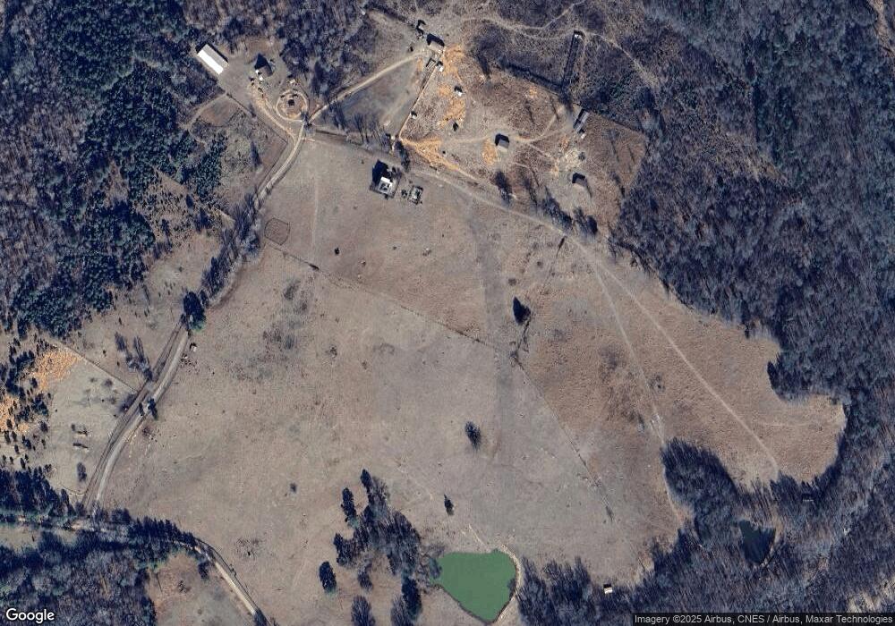
Map
Nearby Homes
- 1044 Sardis Rd
- 0 Hollis Norman Rd Unit 10657647
- 0 Hollis Norman Rd
- Lot D Newtown Rd
- Lot C Newtown Rd
- Lot B Newtown Rd
- Lot E Newtown Rd
- 592 Andrew Caldwell Road Tract 2a
- 21 Hubbard Ln
- 0 Taylor Rd Unit Tract 1
- 0 Taylor Rd Unit TRACT 2
- 732 Hilliard Station Rd
- 306 Bethesda Church Rd
- 716 Stevens Grove Church Rd
- 819 Jane Hill Rd
- 00 New Hope Vesta Rd
- 1 New Hope Vesta Rd
- 1 Bridges Rd
- 889 Wesley Chapel Rd
- Rocky Smith Branch Rd
Your Personal Tour Guide
Ask me questions while you tour the home.