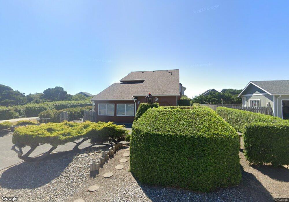
1230 Newport Ave SW Bandon, OR 97411
Estimated Value: $539,444 - $575,000
3
Beds
2
Baths
1,662
Sq Ft
$335/Sq Ft
Est. Value
About This Home
This home is located at 1230 Newport Ave SW, Bandon, OR 97411 and is currently estimated at $557,222, approximately $335 per square foot. 1230 Newport Ave SW is a home located in Coos County with nearby schools including Ocean Crest Elementary School, Harbor Lights Middle School, and Bandon Senior High School.
Ownership History
Date
Name
Owned For
Owner Type
Purchase Details
Closed on
Jun 4, 2025
Sold by
Edwina Travao Madruga Separate Property and Vital Kyle Richard
Bought by
Kyle Vital And Meilani Vital Family Trust and Vital
Current Estimated Value
Purchase Details
Closed on
Jan 23, 2010
Sold by
Federal Home Loan Mortgage Corporation
Bought by
Madruga Edwina and Madruga Edwina Travao
Purchase Details
Closed on
Aug 18, 2004
Sold by
Covington Terry K and Covington Leanne G
Bought by
Spencer David E and Spencer David Eugene
Home Financials for this Owner
Home Financials are based on the most recent Mortgage that was taken out on this home.
Original Mortgage
$231,600
Interest Rate
5.95%
Mortgage Type
Purchase Money Mortgage
Create a Home Valuation Report for This Property
The Home Valuation Report is an in-depth analysis detailing your home's value as well as a comparison with similar homes in the area
Home Values in the Area
Average Home Value in this Area
Purchase History
| Date | Buyer | Sale Price | Title Company |
|---|---|---|---|
| Kyle Vital And Meilani Vital Family Trust | -- | None Listed On Document | |
| Madruga Edwina | $180,000 | Fidelity National Title Co | |
| Spencer David E | $289,500 | Fidelity National Title Co |
Source: Public Records
Mortgage History
| Date | Status | Borrower | Loan Amount |
|---|---|---|---|
| Previous Owner | Spencer David E | $231,600 | |
| Closed | Spencer David E | $43,425 |
Source: Public Records
Tax History Compared to Growth
Tax History
| Year | Tax Paid | Tax Assessment Tax Assessment Total Assessment is a certain percentage of the fair market value that is determined by local assessors to be the total taxable value of land and additions on the property. | Land | Improvement |
|---|---|---|---|---|
| 2024 | $2,694 | $239,990 | -- | -- |
| 2023 | $2,624 | $233,000 | $0 | $0 |
| 2022 | $2,634 | $226,220 | $0 | $0 |
| 2021 | $2,531 | $219,640 | $0 | $0 |
| 2020 | $2,298 | $219,640 | $0 | $0 |
| 2019 | $2,290 | $207,040 | $0 | $0 |
| 2018 | $2,154 | $201,010 | $0 | $0 |
| 2017 | $2,104 | $195,160 | $0 | $0 |
| 2016 | $2,039 | $189,480 | $0 | $0 |
| 2015 | $1,832 | $175,440 | $0 | $0 |
| 2014 | $1,832 | $172,000 | $0 | $0 |
Source: Public Records
Map
Nearby Homes
- 1411 Alder Ct
- 1145 Newport Ave SW
- 1575 Beach Loop Dr SW
- 1260 Jackson Ave SW
- 865 Newport Ave SW
- 875 12th St SW
- 0 13th and Jackson Unit 24681187
- 757 Newport Ave SW
- 1950 Beach Loop Dr SW
- 835 SW 11th
- 1312 Village Loop
- 1313 Village Loop
- 1280 Ocean Dr SW
- 1323 Village Loop
- 1327 Village Loop
- 2131 Beach Loop Dr SW
- 975 Ocean Dr SW
- 655 11th St SW
- 0 Eighth St SW Unit 797186006
- 0 SW Eighth at Harrison Ave
- 1240 Newport Ave SW
- 1220 Newport Ave SW
- 1256 Newport Ave SW
- 1241 Newport Ave SW
- 1235 Beach Loop Dr SW
- 1215 Newport Ave SW
- 1272 Newport Ave SW
- 977 Portland Ave SW
- 1241 Beach Loop Dr SW
- 1263 Beach Loop Dr SW
- 1219 Beach Loop Dr SW
- 1275 Beach Loop Dr SW
- 1241 Beach Loop Rd
- 1285 Newport Ave SW
- 1280 Newport Ave SW
- 1160 Newport Ave SW
- 1257 Beach Loop Dr SW
- 1183 Beach Loop Dr SW
- 1165 Newport Ave SW
- 1288 Newport Ave SW