1230 S Cedar Dr New Richmond, WI 54017
Estimated Value: $425,000 - $791,000
3
Beds
3
Baths
2,855
Sq Ft
$209/Sq Ft
Est. Value
About This Home
This home is located at 1230 S Cedar Dr, New Richmond, WI 54017 and is currently estimated at $597,771, approximately $209 per square foot. 1230 S Cedar Dr is a home located in St. Croix County with nearby schools including New Richmond High School.
Ownership History
Date
Name
Owned For
Owner Type
Purchase Details
Closed on
Oct 1, 2025
Sold by
Brown Marilyn Jean and Brown-Hauan Marilyn J
Bought by
Keopple Roger A and Keopple Jessica M
Current Estimated Value
Home Financials for this Owner
Home Financials are based on the most recent Mortgage that was taken out on this home.
Original Mortgage
$300,000
Outstanding Balance
$300,000
Interest Rate
6.58%
Mortgage Type
Seller Take Back
Estimated Equity
$297,771
Purchase Details
Closed on
Jun 26, 2017
Sold by
Kunz Gregory F and Kunz Barbara J
Bought by
Hauan Marilyn J and Brown Marilyn J
Purchase Details
Closed on
Nov 8, 2016
Sold by
Hauan and David A
Bought by
Brown-Hauan N N
Purchase Details
Closed on
Mar 19, 2012
Sold by
Kunz Robert J and Kunz Mary C
Bought by
Hauan David A and Brown Hauan Marilyn J
Home Financials for this Owner
Home Financials are based on the most recent Mortgage that was taken out on this home.
Original Mortgage
$165,000
Interest Rate
5%
Mortgage Type
Seller Take Back
Create a Home Valuation Report for This Property
The Home Valuation Report is an in-depth analysis detailing your home's value as well as a comparison with similar homes in the area
Home Values in the Area
Average Home Value in this Area
Purchase History
| Date | Buyer | Sale Price | Title Company |
|---|---|---|---|
| Keopple Roger A | $300,000 | None Listed On Document | |
| Hauan Marilyn J | -- | None Available | |
| Brown-Hauan N N | -- | -- | |
| Hauan David A | $185,000 | St Croix County Abstract & T |
Source: Public Records
Mortgage History
| Date | Status | Borrower | Loan Amount |
|---|---|---|---|
| Open | Keopple Roger A | $300,000 | |
| Previous Owner | Hauan David A | $165,000 |
Source: Public Records
Tax History Compared to Growth
Tax History
| Year | Tax Paid | Tax Assessment Tax Assessment Total Assessment is a certain percentage of the fair market value that is determined by local assessors to be the total taxable value of land and additions on the property. | Land | Improvement |
|---|---|---|---|---|
| 2024 | $78 | $390,300 | $169,500 | $220,800 |
| 2023 | $7,172 | $390,300 | $169,500 | $220,800 |
| 2022 | $6,318 | $390,300 | $169,500 | $220,800 |
| 2021 | $6,434 | $390,300 | $169,500 | $220,800 |
| 2020 | $6,424 | $390,300 | $169,500 | $220,800 |
| 2019 | $5,647 | $390,300 | $169,500 | $220,800 |
| 2018 | $5,806 | $272,200 | $114,000 | $158,200 |
| 2017 | $5,173 | $272,200 | $114,000 | $158,200 |
| 2016 | $5,173 | $272,200 | $114,000 | $158,200 |
| 2015 | $4,556 | $272,200 | $114,000 | $158,200 |
| 2014 | $4,195 | $258,400 | $114,000 | $144,400 |
| 2013 | $3,478 | $214,200 | $114,000 | $100,200 |
Source: Public Records
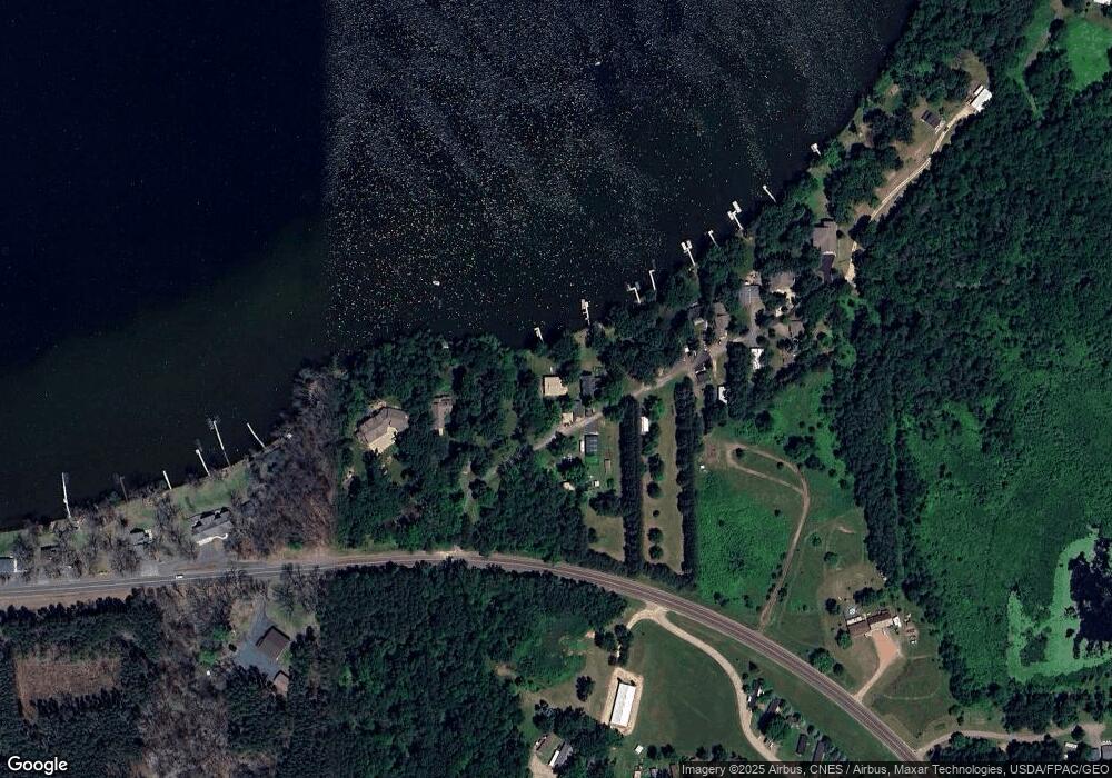
Map
Nearby Homes
- 2207 127th St
- 1290 220th Ave
- 2382 108th St
- 2167 County Road C
- 132 Hill Ave
- 102 206th St
- 2161 132nd St
- 1320 216th Ave
- XXX 100th St
- 1152 County Road C
- Lot 6 220th Ave
- 2106 135th St
- 223 202nd St
- 2118 100th St
- 931 218th Ave
- 1269 202nd Ave
- TBD County Road C
- 1256 195th Ave
- 342 Paulsen Lake Ct
- TBD Nighthawk Dr ( Apple River Lot) Lot 9
- 1228 S Cedar Dr
- 1232 S Cedar Dr
- 1234 S Cedar Dr
- 1222 County Road H
- 1236 S Cedar Dr
- 1238 S Cedar Dr
- 1242 S Cedar Dr
- 1206 H
- 1224 County Road H
- none County Road H
- XXXX County Road H
- 1244 S Cedar Dr
- 1246 S Cedar Dr
- 1246 S Cedar Dr
- 1220 County Road H
- 1218 County Road H
- 1248 S Cedar Dr
- 1239 County Road H
- 1214 County Road H
- 1219 County Road H