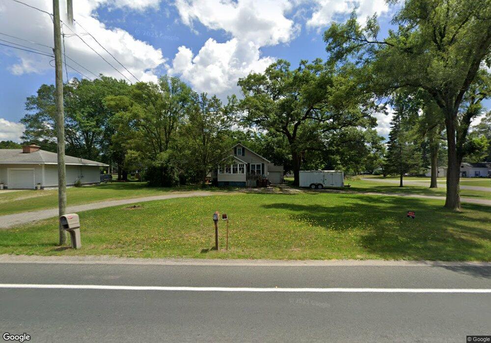
1230 S Sheridan Dr Muskegon, MI 49442
Estimated Value: $188,587 - $202,000
3
Beds
1
Bath
1,092
Sq Ft
$178/Sq Ft
Est. Value
About This Home
This home is located at 1230 S Sheridan Dr, Muskegon, MI 49442 and is currently estimated at $194,897, approximately $178 per square foot. 1230 S Sheridan Dr is a home located in Muskegon County with nearby schools including Orchard View Early Elementary School, Cardinal Elementary School, and Orchard View Middle School.
Ownership History
Date
Name
Owned For
Owner Type
Purchase Details
Closed on
Nov 22, 2010
Sold by
Wells Fargo Bank National Association
Bought by
Hall Andy
Current Estimated Value
Home Financials for this Owner
Home Financials are based on the most recent Mortgage that was taken out on this home.
Original Mortgage
$32,956
Outstanding Balance
$21,700
Interest Rate
4.23%
Mortgage Type
FHA
Estimated Equity
$173,197
Purchase Details
Closed on
Oct 16, 2009
Sold by
Gifford Kim
Bought by
Wells Fargo Bank National Association
Create a Home Valuation Report for This Property
The Home Valuation Report is an in-depth analysis detailing your home's value as well as a comparison with similar homes in the area
Home Values in the Area
Average Home Value in this Area
Purchase History
| Date | Buyer | Sale Price | Title Company |
|---|---|---|---|
| Hall Andy | $33,400 | None Available | |
| Wells Fargo Bank National Association | $94,701 | None Available |
Source: Public Records
Mortgage History
| Date | Status | Borrower | Loan Amount |
|---|---|---|---|
| Open | Hall Andy | $32,956 |
Source: Public Records
Tax History Compared to Growth
Tax History
| Year | Tax Paid | Tax Assessment Tax Assessment Total Assessment is a certain percentage of the fair market value that is determined by local assessors to be the total taxable value of land and additions on the property. | Land | Improvement |
|---|---|---|---|---|
| 2025 | $2,043 | $78,900 | $0 | $0 |
| 2024 | $429 | $73,100 | $0 | $0 |
| 2023 | $410 | $59,400 | $0 | $0 |
| 2022 | $1,624 | $51,300 | $0 | $0 |
| 2021 | $1,382 | $45,600 | $0 | $0 |
| 2020 | $1,359 | $42,100 | $0 | $0 |
| 2019 | $1,349 | $39,000 | $0 | $0 |
| 2018 | $1,291 | $38,300 | $0 | $0 |
| 2017 | $1,251 | $37,700 | $0 | $0 |
| 2016 | $350 | $34,300 | $0 | $0 |
| 2015 | -- | $32,600 | $0 | $0 |
| 2014 | -- | $32,400 | $0 | $0 |
| 2013 | -- | $29,000 | $0 | $0 |
Source: Public Records
Map
Nearby Homes
- 2435 Annette Ave
- 1190 Center St
- 2335 Vine Ave
- 1130 Center St
- 2576 Vine Ave
- 1051 West St
- 936 West St
- VL Quarterline Rd
- 1434 S Quarterline Rd
- 947 Carlton St
- 1935 Catherine Ave
- 1556 Carlton St
- 1937 E Isabella Ave
- 1949 Summerset Dr
- 1885 E Isabella Ave
- 687 S Sheridan Dr
- 1059 Gordon St
- 1476 Frost St
- 2916 E Apple Ave
- 2449 E Laketon Ave
- 1216 S Sheridan Dr
- 1231 S Sheridan Dr
- 1239 S Sheridan Dr
- 2437 Mclaughlin Ave
- 1261 S Sheridan Dr
- 2434 Annette Ave
- 1268 S Sheridan Dr
- 1185 S Sheridan Dr
- 2453 Mclaughlin Ave
- 1271 S Sheridan Dr
- 1218 Oaklea Ave
- 1244 Oaklea Ave
- 2436 Mclaughlin Ave
- 1178 S Sheridan Dr
- 2455 Annette Ave
- 1175 S Sheridan Dr
- 1256 Oaklea Ave
- 2466 Annette Ave
- 2469 Mclaughlin Ave
- 2416 Burke Ave