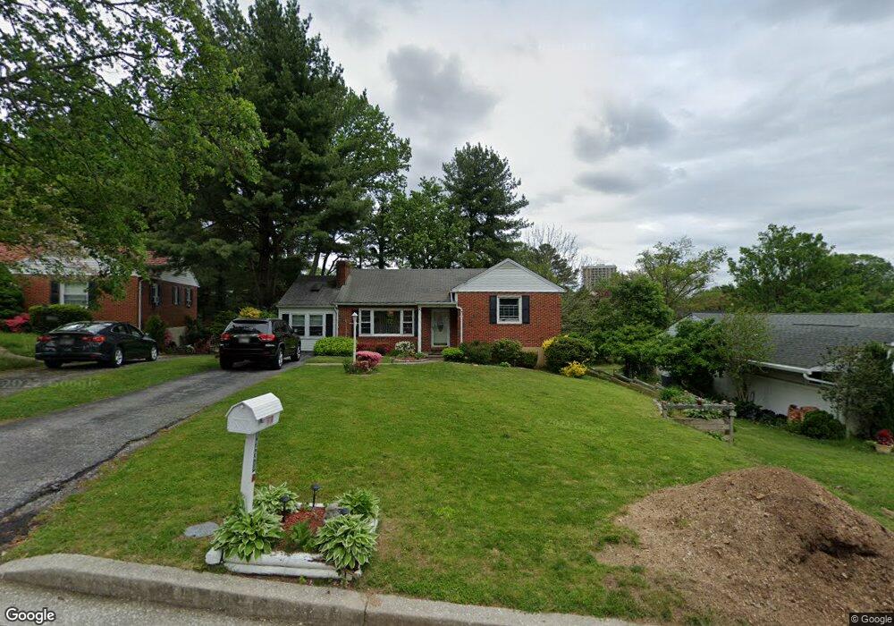
1230 Saint Andrews Way Baltimore, MD 21239
Estimated Value: $354,000 - $374,000
--
Bed
2
Baths
1,453
Sq Ft
$250/Sq Ft
Est. Value
About This Home
This home is located at 1230 Saint Andrews Way, Baltimore, MD 21239 and is currently estimated at $363,665, approximately $250 per square foot. 1230 Saint Andrews Way is a home located in Baltimore County with nearby schools including Halstead Academy, Loch Raven Technical Academy, and Towson High Law & Public Policy.
Ownership History
Date
Name
Owned For
Owner Type
Purchase Details
Closed on
Mar 30, 1995
Sold by
Curtiss Marcella A
Bought by
Nichols Barlow R
Current Estimated Value
Home Financials for this Owner
Home Financials are based on the most recent Mortgage that was taken out on this home.
Original Mortgage
$93,600
Interest Rate
8.8%
Create a Home Valuation Report for This Property
The Home Valuation Report is an in-depth analysis detailing your home's value as well as a comparison with similar homes in the area
Home Values in the Area
Average Home Value in this Area
Purchase History
| Date | Buyer | Sale Price | Title Company |
|---|---|---|---|
| Nichols Barlow R | $117,000 | -- |
Source: Public Records
Mortgage History
| Date | Status | Borrower | Loan Amount |
|---|---|---|---|
| Closed | Nichols Barlow R | $93,600 |
Source: Public Records
Tax History Compared to Growth
Tax History
| Year | Tax Paid | Tax Assessment Tax Assessment Total Assessment is a certain percentage of the fair market value that is determined by local assessors to be the total taxable value of land and additions on the property. | Land | Improvement |
|---|---|---|---|---|
| 2025 | $4,505 | $280,500 | $97,200 | $183,300 |
| 2024 | $4,505 | $264,467 | $0 | $0 |
| 2023 | $2,195 | $248,433 | $0 | $0 |
| 2022 | $4,043 | $232,400 | $86,800 | $145,600 |
| 2021 | $3,579 | $229,433 | $0 | $0 |
| 2020 | $3,579 | $226,467 | $0 | $0 |
| 2019 | $3,343 | $223,500 | $86,800 | $136,700 |
| 2018 | $3,226 | $222,100 | $0 | $0 |
| 2017 | $3,083 | $220,700 | $0 | $0 |
| 2016 | $3,165 | $219,300 | $0 | $0 |
| 2015 | $3,165 | $219,300 | $0 | $0 |
| 2014 | $3,165 | $219,300 | $0 | $0 |
Source: Public Records
Map
Nearby Homes
- 1204 Saint Andrews Way
- 6931 Summit Cir
- 6923 Summit Cir
- 6702 Queens Ferry Rd
- 1108 Litchfield Rd
- 908 Stevenson Ln
- 12 Stone Ridge Ct
- 28 Stone Ridge Ct
- 701 Hillen Rd
- 703 Hillen Rd
- 6415 Falkirk Rd
- 625 Yarmouth Rd
- 664 Regester Ave
- 612 Coventry Rd
- 500 Fairway Ct
- 6216 Falkirk Rd
- 1235 Walker Ave
- 6204 Falkirk Rd
- 1283 Gittings Ave
- 1211 Dalton Rd
- 1228 Saint Andrews Way
- 1211 Brixton Rd
- 1209 Brixton Rd
- 1234 Saint Andrews Way
- 1213 Brixton Rd
- 1207 Brixton Rd
- 1226 Saint Andrews Way
- 1205 Brixton Rd
- 1215 Brixton Rd
- 1221 Saint Andrews Way
- 1217 Brixton Rd
- 1301 Glendale Rd
- 1224 Saint Andrews Way
- 1203 Brixton Rd
- 1219 Saint Andrews Way
- 1222 Saint Andrews Way
- 1300 Highland Dr
- 1301 Brixton Rd
- 1303 Glendale Rd
- 1208 Brixton Rd