1230 Samuel Crews Rd Folkston, GA 31537
Estimated Value: $299,000 - $438,343
3
Beds
2
Baths
1,728
Sq Ft
$218/Sq Ft
Est. Value
About This Home
This home is located at 1230 Samuel Crews Rd, Folkston, GA 31537 and is currently estimated at $376,114, approximately $217 per square foot. 1230 Samuel Crews Rd is a home located in Charlton County with nearby schools including Charlton County High School.
Ownership History
Date
Name
Owned For
Owner Type
Purchase Details
Closed on
May 4, 2005
Sold by
Harris Don N
Bought by
Harris Don N
Current Estimated Value
Home Financials for this Owner
Home Financials are based on the most recent Mortgage that was taken out on this home.
Original Mortgage
$110,000
Outstanding Balance
$57,502
Interest Rate
5.88%
Mortgage Type
New Conventional
Estimated Equity
$318,612
Purchase Details
Closed on
Aug 30, 2004
Sold by
Harris Edna
Bought by
Harris Don N
Purchase Details
Closed on
Dec 4, 2002
Sold by
Harris Don N
Bought by
Harris Edna
Purchase Details
Closed on
Dec 15, 1998
Bought by
Harris Don N
Create a Home Valuation Report for This Property
The Home Valuation Report is an in-depth analysis detailing your home's value as well as a comparison with similar homes in the area
Home Values in the Area
Average Home Value in this Area
Purchase History
| Date | Buyer | Sale Price | Title Company |
|---|---|---|---|
| Harris Don N | -- | -- | |
| Harris Don N | -- | -- | |
| Harris Edna | -- | -- | |
| Harris Don N | -- | -- |
Source: Public Records
Mortgage History
| Date | Status | Borrower | Loan Amount |
|---|---|---|---|
| Open | Harris Don N | $110,000 |
Source: Public Records
Tax History Compared to Growth
Tax History
| Year | Tax Paid | Tax Assessment Tax Assessment Total Assessment is a certain percentage of the fair market value that is determined by local assessors to be the total taxable value of land and additions on the property. | Land | Improvement |
|---|---|---|---|---|
| 2024 | $2,749 | $120,032 | $34,600 | $85,432 |
| 2023 | $2,599 | $108,472 | $33,240 | $75,232 |
| 2022 | $2,152 | $92,432 | $33,240 | $59,192 |
| 2021 | $2,006 | $77,560 | $33,240 | $44,320 |
| 2020 | $2,763 | $77,560 | $33,240 | $44,320 |
| 2019 | $1,860 | $77,560 | $33,240 | $44,320 |
| 2018 | $1,824 | $56,000 | $11,680 | $44,320 |
| 2017 | $2,013 | $55,200 | $11,680 | $43,520 |
| 2016 | $1,798 | $55,200 | $11,680 | $43,520 |
| 2015 | -- | $55,200 | $11,680 | $43,520 |
| 2014 | -- | $55,200 | $11,680 | $43,520 |
| 2013 | -- | $52,000 | $8,480 | $43,520 |
Source: Public Records
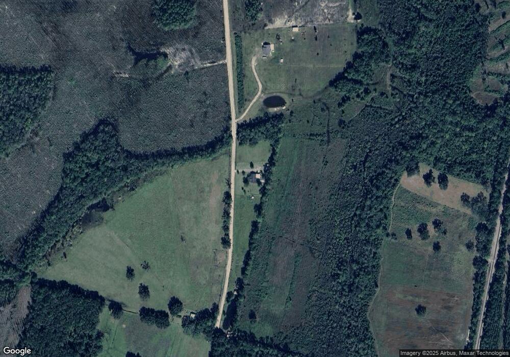
Map
Nearby Homes
- 19067 U S 301
- 0 Winokur Rock Rd Unit 16394425
- 0 Winokur Rock Rd Unit 1643990
- 1205 Ok Lowther Rd
- 285 Heather Rd
- 0 Bachlott Church Rd Unit 25773424
- 0 Bachlott Church Rd Unit 10633876
- 0 Bachlott Church Rd Unit 1657673
- 0 Bachlott Church Rd Unit 163572
- 73 Morrison Ln
- 87 Stephen Park Rd
- 0 Caney Bay Rd
- 0 Riverside Rd Unit 25397127
- 0-0 Foxwood Rd
- 0 Foxwood Rd
- 1360 Douglas Fish Camp Rd
- 247 N Bluff Rd
- 91 Cane Cir
- 7126 U S 301
- 331 Bluff Rd S