1230 Tax Rd Woodland, GA 31836
Estimated Value: $384,000 - $629,000
3
Beds
2
Baths
2,816
Sq Ft
$190/Sq Ft
Est. Value
About This Home
This home is located at 1230 Tax Rd, Woodland, GA 31836 and is currently estimated at $535,989, approximately $190 per square foot. 1230 Tax Rd is a home with nearby schools including Central School.
Ownership History
Date
Name
Owned For
Owner Type
Purchase Details
Closed on
Sep 7, 2017
Sold by
Spelman Hung Capital Llc
Bought by
Davis Yvonda B
Current Estimated Value
Home Financials for this Owner
Home Financials are based on the most recent Mortgage that was taken out on this home.
Original Mortgage
$50,000
Interest Rate
3.9%
Mortgage Type
New Conventional
Purchase Details
Closed on
Aug 31, 2006
Sold by
Smith William
Bought by
Haynie Rebecca M
Purchase Details
Closed on
Sep 30, 1999
Sold by
Geeslin James A
Bought by
Smith William Kirby
Purchase Details
Closed on
May 30, 1997
Sold by
Geeslin Julia S
Bought by
Geeslin James A
Purchase Details
Closed on
Jan 1, 1991
Sold by
Previous
Bought by
Geeslin Julia S
Purchase Details
Closed on
Jan 1, 1990
Sold by
Previous
Bought by
Previous
Purchase Details
Closed on
Jan 1, 1984
Sold by
Previous
Bought by
Previous
Create a Home Valuation Report for This Property
The Home Valuation Report is an in-depth analysis detailing your home's value as well as a comparison with similar homes in the area
Home Values in the Area
Average Home Value in this Area
Purchase History
| Date | Buyer | Sale Price | Title Company |
|---|---|---|---|
| Davis Yvonda B | $315,000 | -- | |
| Haynie Rebecca M | -- | -- | |
| Smith William Kirby | $260,000 | -- | |
| Geeslin James A | -- | -- | |
| Geeslin Julia S | $55,000 | -- | |
| Previous | $37,700 | -- | |
| Previous | -- | -- |
Source: Public Records
Mortgage History
| Date | Status | Borrower | Loan Amount |
|---|---|---|---|
| Closed | Davis Yvonda B | $50,000 |
Source: Public Records
Tax History Compared to Growth
Tax History
| Year | Tax Paid | Tax Assessment Tax Assessment Total Assessment is a certain percentage of the fair market value that is determined by local assessors to be the total taxable value of land and additions on the property. | Land | Improvement |
|---|---|---|---|---|
| 2024 | $4,157 | $157,967 | $51,207 | $106,760 |
| 2023 | $3,325 | $127,560 | $46,642 | $80,918 |
| 2022 | $3,885 | $126,158 | $44,412 | $81,746 |
| 2021 | $3,068 | $120,657 | $40,374 | $80,283 |
| 2020 | $2,638 | $104,213 | $40,374 | $63,839 |
| 2019 | $1,309 | $60,951 | $39,890 | $21,061 |
| 2018 | $2,351 | $78,071 | $39,890 | $38,181 |
| 2017 | $1,890 | $81,455 | $39,890 | $41,565 |
| 2016 | $1,665 | $74,246 | $39,890 | $34,357 |
| 2015 | -- | $83,550 | $49,194 | $34,357 |
| 2013 | -- | $100,460 | $68,224 | $32,236 |
Source: Public Records
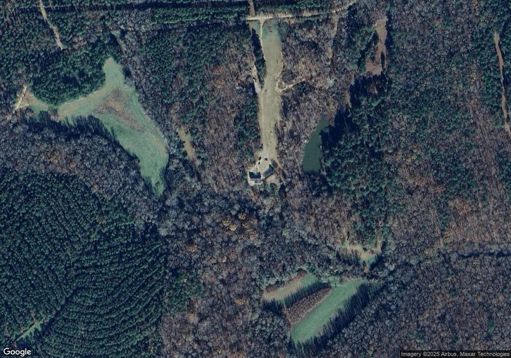
Map
Nearby Homes
- 232 Chestnut Grove Rd
- 5225 Chalybeate Springs Rd
- 0 Hwy 36 Unit LOT 4 10579285
- 380 Elm St
- 286 Starling Rd
- 1600 Grant Ave
- 3.26 ACRES Mountain Ridge Dr
- 324 ACRES Hunsinger Rd
- 1772 Grant Ave
- 5 Jay St
- 36 E 2nd St
- 408 Broad St
- 312 2nd Ave
- 12 Truitt St
- 16 North St
- 1755 Hunsinger Rd
- 2450 Chestnut Grove Rd Unit 2
- 2450 Chestnut Grove Rd
- 624 Sunset Dr
- 7223 Scenic Heights