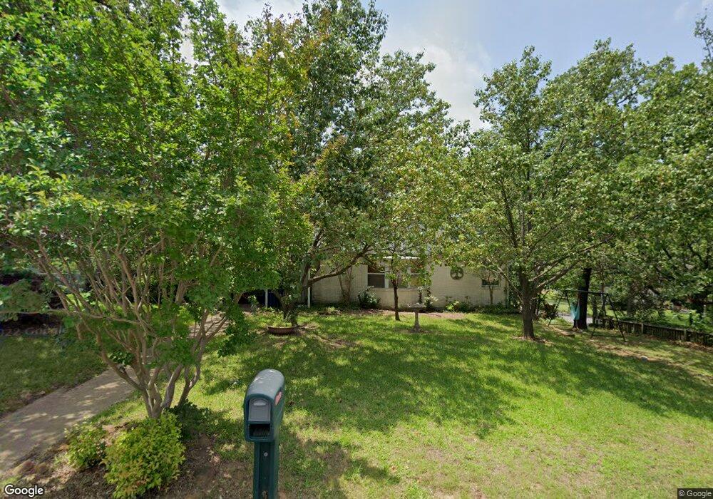
1230 W Munson St Denison, TX 75020
Estimated Value: $259,000 - $269,023
--
Bed
--
Bath
2,044
Sq Ft
$129/Sq Ft
Est. Value
About This Home
This home is located at 1230 W Munson St, Denison, TX 75020 and is currently estimated at $264,012, approximately $129 per square foot. 1230 W Munson St is a home located in Grayson County with nearby schools including Houston Elementary School, Scott Middle School, and Denison High School.
Ownership History
Date
Name
Owned For
Owner Type
Purchase Details
Closed on
Jun 7, 2007
Sold by
Carney Glenda Sue
Bought by
Cates Shelly
Current Estimated Value
Home Financials for this Owner
Home Financials are based on the most recent Mortgage that was taken out on this home.
Original Mortgage
$95,000
Interest Rate
6.15%
Mortgage Type
Purchase Money Mortgage
Purchase Details
Closed on
Nov 24, 2004
Sold by
Green Tree Servicing Llc
Bought by
Carney Glenda Sue
Home Financials for this Owner
Home Financials are based on the most recent Mortgage that was taken out on this home.
Original Mortgage
$67,120
Interest Rate
5.8%
Mortgage Type
Purchase Money Mortgage
Purchase Details
Closed on
Jun 1, 2004
Sold by
Powell Clifford and Powell Dena
Bought by
Green Tree Servicing Llc
Create a Home Valuation Report for This Property
The Home Valuation Report is an in-depth analysis detailing your home's value as well as a comparison with similar homes in the area
Home Values in the Area
Average Home Value in this Area
Purchase History
| Date | Buyer | Sale Price | Title Company |
|---|---|---|---|
| Cates Shelly | -- | Chapin Title Co Inc | |
| Carney Glenda Sue | -- | -- | |
| Green Tree Servicing Llc | -- | -- |
Source: Public Records
Mortgage History
| Date | Status | Borrower | Loan Amount |
|---|---|---|---|
| Closed | Cates Shelly | $95,000 | |
| Previous Owner | Carney Glenda Sue | $67,120 |
Source: Public Records
Tax History Compared to Growth
Tax History
| Year | Tax Paid | Tax Assessment Tax Assessment Total Assessment is a certain percentage of the fair market value that is determined by local assessors to be the total taxable value of land and additions on the property. | Land | Improvement |
|---|---|---|---|---|
| 2025 | $6,017 | $254,631 | $55,500 | $199,131 |
| 2024 | $6,017 | $258,983 | $55,500 | $203,483 |
| 2023 | $5,972 | $263,601 | $42,450 | $221,151 |
| 2022 | $4,486 | $188,827 | $0 | $0 |
| 2021 | $4,329 | $183,846 | $25,950 | $157,896 |
| 2020 | $4,116 | $175,260 | $25,950 | $149,310 |
| 2019 | $3,904 | $181,503 | $25,950 | $155,553 |
| 2018 | $3,578 | $162,698 | $19,050 | $143,648 |
| 2017 | $3,280 | $142,144 | $14,700 | $127,444 |
| 2016 | $2,982 | $139,385 | $14,346 | $125,039 |
| 2015 | $2,267 | $96,897 | $14,346 | $82,551 |
| 2014 | $2,564 | $102,275 | $14,346 | $87,929 |
Source: Public Records
Map
Nearby Homes
- 1315 W Hull St
- 1131 W Shepherd St
- 1224 W Nelson St
- 1217 W Nelson St
- 1109 S Chandler Ave
- 501 S Eddy Ave
- 1508 W Shepherd St
- 919 W Day St
- 1319 W Morgan St
- 1127 W Morgan St
- 901 W Munson St
- 904 W Shepherd St
- 1007 S Scullin Ave
- 1120 W Owing St
- 830 W Shepherd St
- 1223 W Owing St
- 920 W Morgan St
- 1326 W Crawford St
- 1104 S French Ave
- 1011 S Armstrong Ave
- 1228 W Munson St
- 1231 W Hull St
- 1300 W Munson St
- 1214 W Munson St
- 1221 W Hull St
- 1227 W Munson St
- 1231 W Munson St
- 1219 W Munson St
- 1301 W Hull St
- 1210 W Munson St
- 1217 W Munson St
- 1211 W Hull St
- 1312 W Munson St
- 1215 W Munson St
- 1202 W Munson St
- 815 S Eddy Ave
- 1200 W Munson St Unit 1202
- 1211 W Munson St
- 1207 W Hull St
- 1311 W Munson St