Estimated Value: $185,000 - $212,000
2
Beds
1
Bath
1,464
Sq Ft
$136/Sq Ft
Est. Value
About This Home
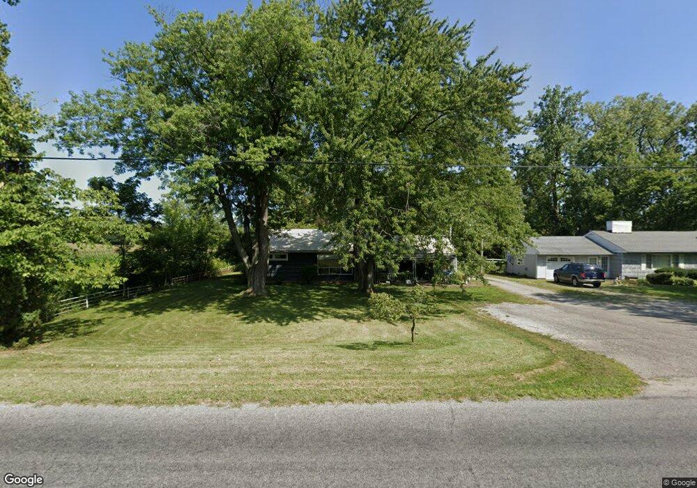
This home is located at 1230 W State Rd, Lima, OH 45807 and is currently estimated at $199,439, approximately $136 per square foot. 1230 W State Rd is a home located in Allen County with nearby schools including Elida Elementary School, Elida Middle School, and Elida High School.
Ownership History
Date
Name
Owned For
Owner Type
Purchase Details
Closed on
Feb 20, 2009
Sold by
Morrison James
Bought by
Dunlap Roxanna
Current Estimated Value
Home Financials for this Owner
Home Financials are based on the most recent Mortgage that was taken out on this home.
Original Mortgage
$50,400
Interest Rate
5.06%
Mortgage Type
Purchase Money Mortgage
Purchase Details
Closed on
Oct 8, 1992
Bought by
Morrison James
Create a Home Valuation Report for This Property
The Home Valuation Report is an in-depth analysis detailing your home's value as well as a comparison with similar homes in the area
Home Values in the Area
Average Home Value in this Area
Purchase History
| Date | Buyer | Sale Price | Title Company |
|---|---|---|---|
| Dunlap Roxanna | $65,400 | Attorney | |
| Morrison James | -- | -- |
Source: Public Records
Mortgage History
| Date | Status | Borrower | Loan Amount |
|---|---|---|---|
| Closed | Dunlap Roxanna | $50,400 |
Source: Public Records
Tax History Compared to Growth
Tax History
| Year | Tax Paid | Tax Assessment Tax Assessment Total Assessment is a certain percentage of the fair market value that is determined by local assessors to be the total taxable value of land and additions on the property. | Land | Improvement |
|---|---|---|---|---|
| 2024 | $1,966 | $49,180 | $11,310 | $37,870 |
| 2023 | $1,564 | $35,150 | $8,090 | $27,060 |
| 2022 | $1,598 | $35,150 | $8,090 | $27,060 |
| 2021 | $1,607 | $35,150 | $8,090 | $27,060 |
| 2020 | $1,473 | $30,380 | $7,420 | $22,960 |
| 2019 | $1,473 | $30,380 | $7,420 | $22,960 |
| 2018 | $1,357 | $30,380 | $7,420 | $22,960 |
| 2017 | $1,231 | $26,570 | $7,420 | $19,150 |
| 2016 | $1,225 | $26,570 | $7,420 | $19,150 |
| 2015 | $1,383 | $26,570 | $7,420 | $19,150 |
| 2014 | $1,383 | $28,490 | $7,140 | $21,350 |
| 2013 | $1,341 | $28,490 | $7,140 | $21,350 |
Source: Public Records
Map
Nearby Homes
- 3798 Kissing Hollow Dr
- 0 Fraunfelter Unit 307817
- 0 N Eastown Rd Unit 1034495
- 4080 Brookshore Dr
- 4050 Brookshore Dr
- 2525 W Lincoln Hwy
- 3270 Bonnieview Dr
- 3456 Shearin Ave
- 1129 W Bluelick Rd
- 300 Sweaney Ave
- 6585 Ottawa Rd
- 201 Wall St
- 220 Parklane Dr
- 2718 Carolyn Dr
- 4995 Gomer Rd
- 2630 Carolyn Dr
- 1743 Sherry Lee Dr
- 2511 Debbie Dr
- 1619 Northbrook Dr
- 2370 N McDonel St
- 1210 W State Rd
- 1375 W State Rd
- 5582 N West St
- 5377 N Cole St
- 960 W State Rd
- 5315 N West St
- 888 W State Rd
- 636 W State Rd
- 5800 N West St
- 1640 W State Rd
- 5840 N West St
- 695 W State Rd
- 5170 N West St
- 5870 N West St
- 432 W State Rd
- 633 W State Rd
- 5101 N Cole St
- 601 W State Rd
- 5911 N West St
- 4950 N Cole St