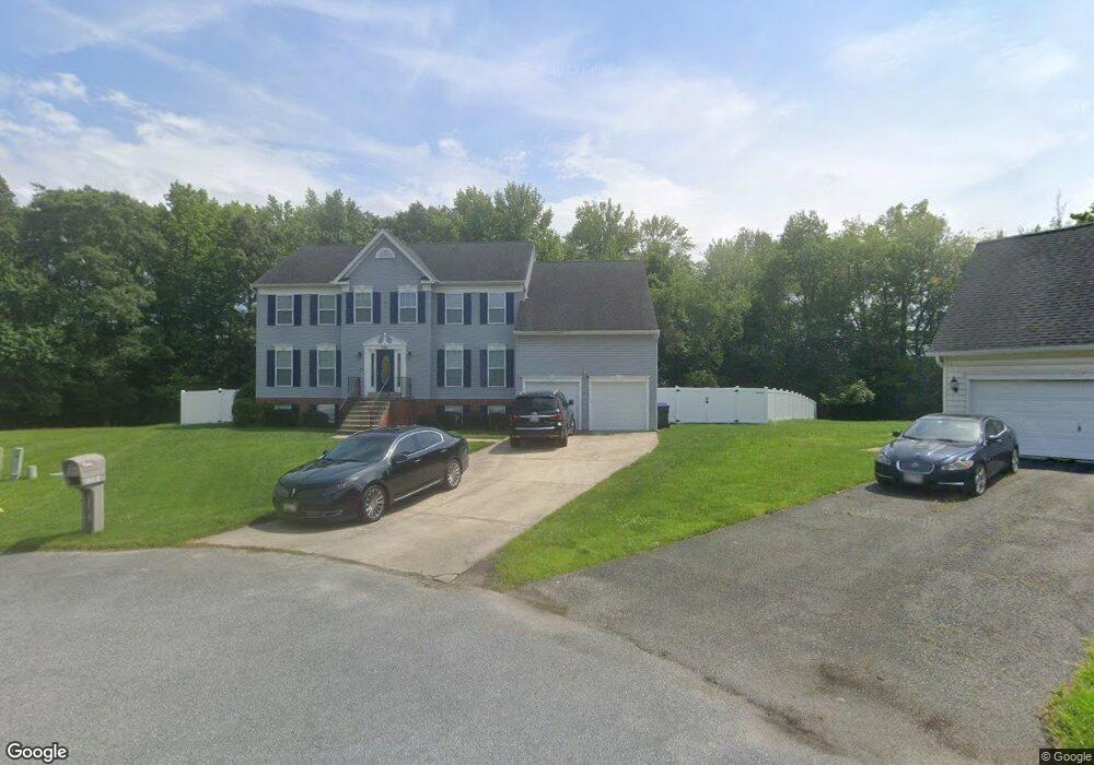
12301 Burning Oak Ct Waldorf, MD 20601
Estimated Value: $516,000 - $576,000
--
Bed
2
Baths
3,080
Sq Ft
$181/Sq Ft
Est. Value
About This Home
This home is located at 12301 Burning Oak Ct, Waldorf, MD 20601 and is currently estimated at $558,440, approximately $181 per square foot. 12301 Burning Oak Ct is a home located in Charles County with nearby schools including J.P. Ryon Elementary School, John Hanson Middle School, and Thomas Stone High School.
Ownership History
Date
Name
Owned For
Owner Type
Purchase Details
Closed on
May 20, 2004
Sold by
Williams Lavon R and Williams Michele R
Bought by
Furr Victor L and Furr Nadine A
Current Estimated Value
Purchase Details
Closed on
Sep 13, 2001
Sold by
Wright Michael A
Bought by
Williams Lavon R and Williams Michele R
Purchase Details
Closed on
May 14, 1997
Sold by
Ryan Patrick and Ryan Renate
Bought by
Wright Michael A
Create a Home Valuation Report for This Property
The Home Valuation Report is an in-depth analysis detailing your home's value as well as a comparison with similar homes in the area
Home Values in the Area
Average Home Value in this Area
Purchase History
| Date | Buyer | Sale Price | Title Company |
|---|---|---|---|
| Furr Victor L | $369,000 | -- | |
| Williams Lavon R | $265,098 | -- | |
| Wright Michael A | $213,000 | -- |
Source: Public Records
Mortgage History
| Date | Status | Borrower | Loan Amount |
|---|---|---|---|
| Closed | Wright Michael A | -- |
Source: Public Records
Tax History Compared to Growth
Tax History
| Year | Tax Paid | Tax Assessment Tax Assessment Total Assessment is a certain percentage of the fair market value that is determined by local assessors to be the total taxable value of land and additions on the property. | Land | Improvement |
|---|---|---|---|---|
| 2025 | $13,166 | $445,933 | -- | -- |
| 2024 | $5,682 | $407,000 | $125,600 | $281,400 |
| 2023 | $5,563 | $389,267 | $0 | $0 |
| 2022 | $5,161 | $371,533 | $0 | $0 |
| 2021 | $4,829 | $353,800 | $95,600 | $258,200 |
| 2020 | $4,829 | $349,500 | $0 | $0 |
| 2019 | $4,758 | $345,200 | $0 | $0 |
| 2018 | $4,659 | $340,900 | $90,600 | $250,300 |
| 2017 | $4,465 | $326,833 | $0 | $0 |
| 2016 | -- | $312,767 | $0 | $0 |
| 2015 | $2,197 | $298,700 | $0 | $0 |
| 2014 | $2,197 | $298,700 | $0 | $0 |
Source: Public Records
Map
Nearby Homes
- 2552 Fernwood Ct
- 2204 Holly Oak Ct
- 12720 Bar Oak Dr
- 12820 Twin Oak Dr
- 2002 English Oak Ct
- 1525 Pin Oak Dr
- 2549 Mattawoman Beantown Rd
- 1610 Pin Oak Dr
- 12113 Farrar Place
- 12606 Sub Station Rd
- 12361 Echo Hill Place
- 12329 Cheerio Place
- 2031 Tanglewood Dr
- 2290 Mattawoman Beantown Rd
- 12061 Pierce Rd
- 4208 Sandwich Cir
- 2650 Pinewood Dr
- 3502 Lisa Ln
- HAYDEN Plan at Acton Park
- 2522 Regal Place
- 12303 Burning Oak Ct
- 12300 Burning Oak Ct
- 12305 Burning Oak Ct
- 12304 Burning Oak Ct
- 2727 Burning Oak Dr
- 12307 Burning Oak Ct
- 12308 Burning Oak Ct
- 12309 Burning Oak Ct
- 2725 Burning Oak Dr
- 12310 Burning Oak Ct
- 2724 Burning Oak Dr
- 12311 Burning Oak Ct
- 2722 Burning Oak Dr
- 12312 Burning Oak Ct
- 2721 Burning Oak Dr
- 2720 Burning Oak Dr
- 12313 Burning Oak Ct
- 2510 Aurora Place
- 12584 Council Oak Dr
- 12582 Council Oak Dr