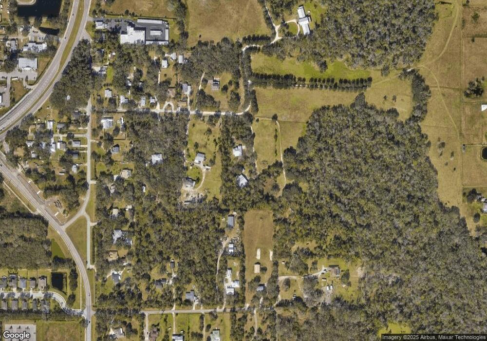
12305 Doris Rd Parrish, FL 34219
Estimated Value: $460,000 - $714,027
3
Beds
2
Baths
2,030
Sq Ft
$303/Sq Ft
Est. Value
About This Home
This home is located at 12305 Doris Rd, Parrish, FL 34219 and is currently estimated at $616,007, approximately $303 per square foot. 12305 Doris Rd is a home located in Manatee County with nearby schools including Annie Lucy Williams Elementary School, Buffalo Creek Middle School, and Parrish Community High School.
Ownership History
Date
Name
Owned For
Owner Type
Purchase Details
Closed on
Jun 2, 1998
Sold by
Snoll Donald C
Bought by
Bentley Buddy F and Bentley Kimberly
Current Estimated Value
Home Financials for this Owner
Home Financials are based on the most recent Mortgage that was taken out on this home.
Original Mortgage
$51,004
Outstanding Balance
$10,364
Interest Rate
7.23%
Estimated Equity
$605,643
Create a Home Valuation Report for This Property
The Home Valuation Report is an in-depth analysis detailing your home's value as well as a comparison with similar homes in the area
Home Values in the Area
Average Home Value in this Area
Purchase History
| Date | Buyer | Sale Price | Title Company |
|---|---|---|---|
| Bentley Buddy F | $56,400 | -- |
Source: Public Records
Mortgage History
| Date | Status | Borrower | Loan Amount |
|---|---|---|---|
| Open | Bentley Buddy F | $51,004 |
Source: Public Records
Tax History
| Year | Tax Paid | Tax Assessment Tax Assessment Total Assessment is a certain percentage of the fair market value that is determined by local assessors to be the total taxable value of land and additions on the property. | Land | Improvement |
|---|---|---|---|---|
| 2025 | $3,072 | $251,382 | -- | -- |
| 2023 | $3,072 | $237,182 | $0 | $0 |
| 2022 | $2,980 | $230,274 | $0 | $0 |
| 2021 | $2,853 | $223,567 | $0 | $0 |
| 2020 | $2,903 | $220,480 | $0 | $0 |
| 2019 | $2,824 | $215,523 | $0 | $0 |
| 2018 | $2,792 | $211,504 | $0 | $0 |
| 2017 | $2,586 | $207,154 | $0 | $0 |
| 2016 | $2,577 | $202,893 | $0 | $0 |
Source: Public Records
Map
Nearby Homes
- 12355 Doris Rd
- 5311 124th Ave E
- 12404 52nd St E
- 5405 120th Ave E
- 5319 120th Ave E
- 12427 52nd St E
- 12431 52nd St E
- 12410 51st St E
- 5030 123rd Ave E
- 5028 124th Ave E
- 11880 Us Highway 301 N
- 12345 49th St E
- 12305 49th St E
- 12313 49th St E
- 12309 49th St E
- Gateway Plan at Windwater
- Pinnacle Plan at Windwater
- Sequoia Plan at Windwater
- Glades Plan at Windwater
- Cascades Plan at Windwater
- 12251 Doris Rd
- 12284 Britt Rd
- 12250 Doris Rd
- 12240 Doris Rd
- 12225 Doris Rd
- 12236 Doris Rd
- 12224 Doris Rd
- 5910 Bella Rd
- 12232 Doris Rd
- 5924 Fort Hamer Rd
- 5910 Fort Hamer Rd
- 12294 Britt Rd
- 12208 Doris Rd
- 12290 Britt Rd
- 5860 Fort Hamer Rd
- 12218 Doris Rd
- 6006 Bella Rd
- 6006 Fort Hamer Rd
- 12212 Doris Rd
- 5850 Fort Hamer Rd
