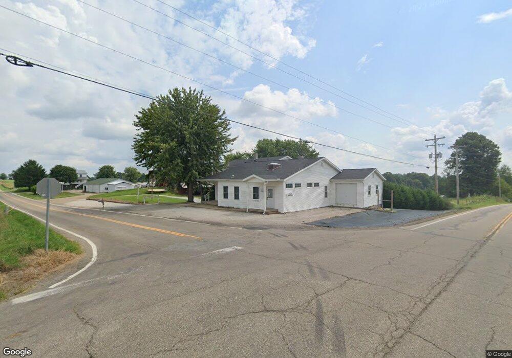
12305 State Route 39 Unit 51 Big Prairie, OH 44611
Estimated Value: $383,000 - $601,000
5
Beds
2
Baths
2,570
Sq Ft
$184/Sq Ft
Est. Value
About This Home
This home is located at 12305 State Route 39 Unit 51, Big Prairie, OH 44611 and is currently estimated at $473,825, approximately $184 per square foot. 12305 State Route 39 Unit 51 is a home located in Holmes County with nearby schools including West Holmes High School, DEER RUN, and HICKORY RIDGE.
Ownership History
Date
Name
Owned For
Owner Type
Purchase Details
Closed on
Jun 29, 2015
Sold by
Schlabach Abe A and Schlabach Laura Ann
Bought by
Raber Eli J and Raber Edna R
Current Estimated Value
Purchase Details
Closed on
Apr 17, 2015
Sold by
Raber Eli J and Raber Edna R
Bought by
Schlabach Abe A and Schlabach Laura Ann
Purchase Details
Closed on
May 25, 2000
Bought by
Raber Eli J and Raber Edna R
Purchase Details
Closed on
Apr 5, 1999
Bought by
Raber Eli J and Raber Edna R
Create a Home Valuation Report for This Property
The Home Valuation Report is an in-depth analysis detailing your home's value as well as a comparison with similar homes in the area
Home Values in the Area
Average Home Value in this Area
Purchase History
| Date | Buyer | Sale Price | Title Company |
|---|---|---|---|
| Raber Eli J | -- | Attorney | |
| Schlabach Abe A | $275,000 | Attorney | |
| Raber Eli J | -- | -- | |
| Raber Eli J | $50,000 | -- |
Source: Public Records
Tax History Compared to Growth
Tax History
| Year | Tax Paid | Tax Assessment Tax Assessment Total Assessment is a certain percentage of the fair market value that is determined by local assessors to be the total taxable value of land and additions on the property. | Land | Improvement |
|---|---|---|---|---|
| 2024 | $4,585 | $115,050 | $17,850 | $97,200 |
| 2023 | $4,585 | $115,050 | $17,850 | $97,200 |
| 2022 | $4,741 | $115,050 | $17,850 | $97,200 |
| 2021 | $4,617 | $103,900 | $14,540 | $89,360 |
| 2020 | $4,520 | $103,900 | $14,540 | $89,360 |
| 2019 | $4,415 | $103,900 | $14,540 | $89,360 |
| 2018 | $4,254 | $96,620 | $13,110 | $83,510 |
| 2017 | $4,250 | $96,620 | $13,110 | $83,510 |
| 2016 | $4,255 | $96,620 | $13,110 | $83,510 |
| 2015 | $4,065 | $93,630 | $12,110 | $81,520 |
| 2014 | $4,085 | $93,630 | $12,110 | $81,520 |
| 2013 | -- | $93,630 | $12,110 | $81,520 |
Source: Public Records
Map
Nearby Homes
- 12427 Township Road 217
- 12882 Ohio 39
- 11771 Township Road 259
- 6070 Township Road 219
- 7164 Township Road 501
- 5553 Township Road 260
- 0 County Road 51
- 5770 Township Road 276
- 5758 Township Road 276
- 10454 Township Road 262
- 10441 Township Road 262
- 7869 County Road 51
- 4453 County Road 51
- 5695 Township Road 264
- 7884 Township Road 508
- 10377 Private Road 275
- 13636 Township Road 471
- 7129 Township Road 466
- 7129
- 839 Depot St
- 12305 State Route 39 Unit 51
- 12305 State Route 39 Unit 51
- 6206 County Road 51
- 12265 State Route 39
- 6111 County Road 51
- 12251 State Route 39
- 6136 County Road 51
- 13293 State Route 39
- 6131 County Road 51
- 12239 State Route 39
- 12239 State Route 39
- 6091 County Road 51
- 6079 County Road 51
- 12436 State Route 39
- 6054 County Road 51
- 12401 Township Road 217
- 6005 County Road 51
- 12407 Township Road 217
- 12481 Township Road 217
- 6356 County Road 51