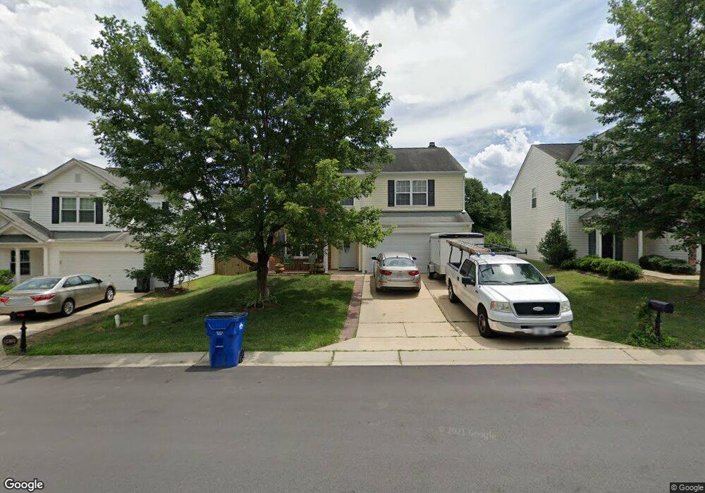
12307 N Exeter Way Durham, NC 27703
Eastern Durham NeighborhoodEstimated Value: $449,000 - $514,000
4
Beds
3
Baths
2,288
Sq Ft
$207/Sq Ft
Est. Value
About This Home
This home is located at 12307 N Exeter Way, Durham, NC 27703 and is currently estimated at $473,681, approximately $207 per square foot. 12307 N Exeter Way is a home located in Durham County with nearby schools including Spring Valley Elementary School, John W Neal Middle School, and Southern School of Energy & Sustainability.
Ownership History
Date
Name
Owned For
Owner Type
Purchase Details
Closed on
Jan 31, 2003
Sold by
Colony Homes Inc
Bought by
Woods Richard L and Woods Ernestine F
Current Estimated Value
Home Financials for this Owner
Home Financials are based on the most recent Mortgage that was taken out on this home.
Original Mortgage
$170,049
Outstanding Balance
$72,987
Interest Rate
5.98%
Mortgage Type
FHA
Estimated Equity
$400,694
Create a Home Valuation Report for This Property
The Home Valuation Report is an in-depth analysis detailing your home's value as well as a comparison with similar homes in the area
Home Values in the Area
Average Home Value in this Area
Purchase History
| Date | Buyer | Sale Price | Title Company |
|---|---|---|---|
| Woods Richard L | $171,500 | -- |
Source: Public Records
Mortgage History
| Date | Status | Borrower | Loan Amount |
|---|---|---|---|
| Open | Woods Richard L | $170,049 |
Source: Public Records
Tax History Compared to Growth
Tax History
| Year | Tax Paid | Tax Assessment Tax Assessment Total Assessment is a certain percentage of the fair market value that is determined by local assessors to be the total taxable value of land and additions on the property. | Land | Improvement |
|---|---|---|---|---|
| 2025 | $4,378 | $481,507 | $119,000 | $362,507 |
| 2024 | $2,952 | $255,864 | $47,680 | $208,184 |
| 2023 | $3,033 | $255,864 | $47,680 | $208,184 |
| 2022 | $2,853 | $255,864 | $47,680 | $208,184 |
| 2021 | $2,802 | $255,864 | $47,680 | $208,184 |
| 2020 | $2,731 | $255,864 | $47,680 | $208,184 |
| 2019 | $2,943 | $255,864 | $47,680 | $208,184 |
| 2018 | $2,652 | $218,046 | $38,740 | $179,306 |
| 2017 | $2,602 | $218,046 | $38,740 | $179,306 |
| 2016 | $2,527 | $218,046 | $38,740 | $179,306 |
| 2015 | $2,641 | $217,526 | $38,312 | $179,214 |
| 2014 | $2,604 | $217,526 | $38,312 | $179,214 |
Source: Public Records
Map
Nearby Homes
- 5519 Spindlewood Ct
- 12317 Aberdeen Chase Way
- Southampton Plan at Running Brook Townes
- Ashland Plan at Running Brook Townes
- Bristol Plan at Running Brook Townes
- 10132 Marleybone Dr
- 10119 2nd Star Ct
- 7229 Terregles Dr
- 7224 Ladbrooke St
- 11829 N Exeter Way
- 1823 Farm Pond Trail
- 7403 Leesville Rd
- 3208 Shady Grove Rd
- 5608 Barham Ct
- 12116 Queensbridge Ct
- 5233 Fairmead Cir
- 7328 Caversham Way
- 7330 Caversham Way
- 12012 Shavenrock Place
- 12133 Mabledon Ct
- 12311 N Exeter Way
- 12303 N Exeter Way
- 5504 Bridgeman Ct
- 12315 N Exeter Way
- 5523 Spindlewood Ct
- 1122 Bridleman Dr
- 5527 Spindlewood Ct
- 5527 Spindlewood Ct Unit LO51
- 5508 Bridgeman Ct
- 5515 Spindlewood Ct
- 5531 Spindlewood Ct
- 12304 N Exeter Way
- 5511 Spindlewood Ct
- 12308 N Exeter Way
- 5501 Bridgeman Ct
- 12300 N Exeter Way
- 12312 N Exeter Way
- 5509 Bridgeman Ct
- 12232 N Exeter Way
- 12323 N Exeter Way