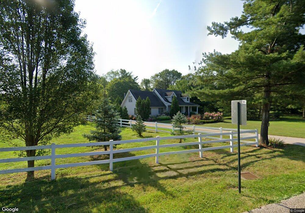
12307 W River Rd Columbia Station, OH 44028
Estimated Value: $456,225 - $542,000
3
Beds
2
Baths
2,864
Sq Ft
$175/Sq Ft
Est. Value
About This Home
This home is located at 12307 W River Rd, Columbia Station, OH 44028 and is currently estimated at $501,556, approximately $175 per square foot. 12307 W River Rd is a home located in Lorain County with nearby schools including Copopa Elementary School, Columbia Middle School, and Columbia High School.
Ownership History
Date
Name
Owned For
Owner Type
Purchase Details
Closed on
Nov 20, 2015
Sold by
1Awa Bozena and Kawa Boguslaw
Bought by
Kawa Trust and 1Awa Boguslaw
Current Estimated Value
Purchase Details
Closed on
Apr 3, 1997
Sold by
Smith Dayton B
Bought by
Kawa Boguslaw and Kawa Bozena
Home Financials for this Owner
Home Financials are based on the most recent Mortgage that was taken out on this home.
Original Mortgage
$112,700
Interest Rate
7.65%
Mortgage Type
New Conventional
Create a Home Valuation Report for This Property
The Home Valuation Report is an in-depth analysis detailing your home's value as well as a comparison with similar homes in the area
Home Values in the Area
Average Home Value in this Area
Purchase History
| Date | Buyer | Sale Price | Title Company |
|---|---|---|---|
| Kawa Trust | -- | -- | |
| Kawa Boguslaw | $162,700 | -- |
Source: Public Records
Mortgage History
| Date | Status | Borrower | Loan Amount |
|---|---|---|---|
| Previous Owner | Kawa Boguslaw | $112,700 |
Source: Public Records
Tax History Compared to Growth
Tax History
| Year | Tax Paid | Tax Assessment Tax Assessment Total Assessment is a certain percentage of the fair market value that is determined by local assessors to be the total taxable value of land and additions on the property. | Land | Improvement |
|---|---|---|---|---|
| 2024 | $6,097 | $140,525 | $27,279 | $113,246 |
| 2023 | $5,232 | $105,200 | $25,484 | $79,716 |
| 2022 | $5,103 | $105,200 | $25,484 | $79,716 |
| 2021 | $5,154 | $105,200 | $25,480 | $79,720 |
| 2020 | $4,981 | $91,240 | $22,100 | $69,140 |
| 2019 | $4,952 | $91,240 | $22,100 | $69,140 |
| 2018 | $4,994 | $91,240 | $22,100 | $69,140 |
| 2017 | $4,544 | $76,970 | $21,650 | $55,320 |
| 2016 | $4,576 | $76,970 | $21,650 | $55,320 |
| 2015 | $4,577 | $76,970 | $21,650 | $55,320 |
| 2014 | $4,374 | $73,030 | $20,540 | $52,490 |
| 2013 | $4,390 | $73,030 | $20,540 | $52,490 |
Source: Public Records
Map
Nearby Homes
- 23926 W Rim Dr
- 23855 W Rim Dr
- 11834 W River Rd
- 24980 Copopa Trail
- 25914 Nichols Rd
- 24848 River Glen Dr
- 26201 Nichols Rd
- 0 E River Rd Unit 5120285
- 12584 Caribou Ct
- 12150 N Boone Rd
- Lehigh Plan at Ashford Cove
- Anderson Plan at Ashford Cove
- Ballenger Plan at Ashford Cove
- Columbia Plan at Ashford Cove
- Hudson Plan at Ashford Cove
- Hilltop Plan at Emerald Woods - Reserve
- Mitchell Plan at Emerald Woods - Crossings
- Greenfield Plan at Emerald Woods - Reserve
- Crisfield Plan at Emerald Woods - Crossings
- Hampton Plan at Emerald Woods - Crossings
- 24099 W Rim Dr
- 24051 W Rim Dr
- 12282 W River Rd
- 12326 W River Rd
- 24017 W Rim Dr
- 12258 W River Rd
- 25350 Nichols Rd
- 24100 W Rim Dr
- 12232 W River Rd
- 25375 Nichols Rd
- 24042 W Rim Dr
- 23953 W Rim Dr
- 12164 W River Rd
- 23984 W Rim Dr
- 12418 W River Rd
- 25405 Nichols Rd
- 25398 Nichols Rd
- 23937 W Rim Dr
- 12138 W River Rd
- 25427 Nichols Rd