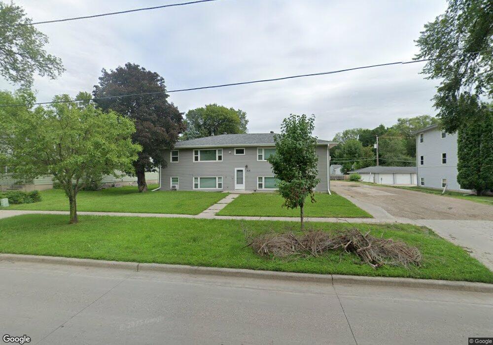
1231 10th St N Fargo, ND 58102
Roosevelt NeighborhoodEstimated Value: $491,000 - $516,183
6
Beds
4
Baths
2,490
Sq Ft
$202/Sq Ft
Est. Value
About This Home
This home is located at 1231 10th St N, Fargo, ND 58102 and is currently estimated at $503,592, approximately $202 per square foot. 1231 10th St N is a home located in Cass County with nearby schools including Horace Mann Roosevelt Elementary School, Ben Franklin Middle School, and North High School.
Ownership History
Date
Name
Owned For
Owner Type
Purchase Details
Closed on
Jul 21, 2023
Sold by
Greenwater Capital Llc
Bought by
Kevkar Properties Llc
Current Estimated Value
Purchase Details
Closed on
Jul 3, 2023
Sold by
E & L Llc
Bought by
Greenwater Capital Llc
Create a Home Valuation Report for This Property
The Home Valuation Report is an in-depth analysis detailing your home's value as well as a comparison with similar homes in the area
Home Values in the Area
Average Home Value in this Area
Purchase History
| Date | Buyer | Sale Price | Title Company |
|---|---|---|---|
| Kevkar Properties Llc | $470,000 | Fm Title | |
| Greenwater Capital Llc | $390,000 | Fm Title |
Source: Public Records
Tax History
| Year | Tax Paid | Tax Assessment Tax Assessment Total Assessment is a certain percentage of the fair market value that is determined by local assessors to be the total taxable value of land and additions on the property. | Land | Improvement |
|---|---|---|---|---|
| 2024 | $9,422 | $278,550 | $27,000 | $251,550 |
| 2023 | $8,626 | $253,200 | $27,000 | $226,200 |
| 2022 | $7,762 | $220,200 | $27,000 | $193,200 |
| 2021 | $7,049 | $200,200 | $27,000 | $173,200 |
| 2020 | $6,746 | $192,500 | $27,000 | $165,500 |
| 2019 | $6,752 | $192,500 | $20,000 | $172,500 |
| 2018 | $6,678 | $192,500 | $20,000 | $172,500 |
| 2017 | $6,155 | $176,250 | $20,000 | $156,250 |
| 2014 | $5,212 | $145,500 | $15,500 | $130,000 |
Source: Public Records
Map
Nearby Homes
- 1235 11 1 2 St N
- 1109 10th St N
- 1119 9th St N
- 1329 10th St N
- 1045 10th St N
- 1120 Broadway N
- 1119 Broadway N
- 1036 12th St N
- 1035 University Dr N
- 1125 5th St N
- 628 10th Ave N
- 624 10th Ave N
- 1001 9th Ave N
- 1257 4th St N
- 824 9th St N
- 1437 Broadway N Unit 101
- 1038 College St N
- 1036 College St N
- 722 9th Ave N
- 1441 Broadway N Unit 203
- 1231 10th St N
- 1253 10th St N
- 1221 10th St N Unit 6
- 1221 10th St N Unit 2
- 1221 10th St N Unit 5
- 1221 10th St N Unit 4
- 1221 10th St N Unit 3
- 1221 10th St N Unit 1
- 1221 10th St N Unit 102
- 1221 10th St N Unit 22
- 1221 10th St N
- 1257 10th St N
- 1225 10th St N Unit 5
- 1225 10th St N Unit 3
- 1225 10th St N Unit 1
- 1225 10th St N Unit 6
- 1225 10th St N Unit 4
- 1225 10th St N Unit 2
- 1225 10th St N
- 1248 9th St N
Your Personal Tour Guide
Ask me questions while you tour the home.