1231 Alford Ln Buckhead, GA 30625
Buckhead Morgan NeighborhoodEstimated Value: $590,000 - $1,671,962
--
Bed
1
Bath
1,853
Sq Ft
$653/Sq Ft
Est. Value
About This Home
This home is located at 1231 Alford Ln, Buckhead, GA 30625 and is currently estimated at $1,209,991, approximately $652 per square foot. 1231 Alford Ln is a home located in Morgan County with nearby schools including Morgan County Primary School, Morgan County Elementary School, and Morgan County Middle School.
Ownership History
Date
Name
Owned For
Owner Type
Purchase Details
Closed on
Mar 4, 2024
Sold by
Seven Fifteen Investments Llc
Bought by
Abc Farm Llc
Current Estimated Value
Purchase Details
Closed on
Dec 19, 2023
Sold by
Paschall Joseph Franklin
Bought by
715 Investments Llc
Purchase Details
Closed on
Jan 26, 2019
Sold by
Stueber Kelly Paschall
Bought by
Paschall Joseph Franklin
Purchase Details
Closed on
Dec 12, 2012
Sold by
Paschall Patricia Sue Estate
Bought by
Paschall J F
Purchase Details
Closed on
Oct 2, 1996
Sold by
Alford C L Mrs
Bought by
Paschall Patricia Su
Create a Home Valuation Report for This Property
The Home Valuation Report is an in-depth analysis detailing your home's value as well as a comparison with similar homes in the area
Home Values in the Area
Average Home Value in this Area
Purchase History
| Date | Buyer | Sale Price | Title Company |
|---|---|---|---|
| Abc Farm Llc | $1,400,000 | -- | |
| 715 Investments Llc | -- | -- | |
| Paschall Joseph Franklin | -- | -- | |
| Paschall J F | -- | -- | |
| Paschall Patricia Su | -- | -- |
Source: Public Records
Tax History Compared to Growth
Tax History
| Year | Tax Paid | Tax Assessment Tax Assessment Total Assessment is a certain percentage of the fair market value that is determined by local assessors to be the total taxable value of land and additions on the property. | Land | Improvement |
|---|---|---|---|---|
| 2025 | $3,287 | $430,201 | $345,790 | $84,411 |
| 2024 | $3,060 | $419,531 | $345,790 | $73,741 |
| 2023 | $1,577 | $166,668 | $121,937 | $44,731 |
| 2022 | $1,555 | $163,985 | $121,937 | $42,048 |
| 2021 | $1,541 | $163,985 | $121,937 | $42,048 |
| 2020 | $1,534 | $163,985 | $121,937 | $42,048 |
| 2019 | $1,468 | $154,936 | $114,120 | $40,816 |
| 2018 | $1,466 | $145,599 | $104,783 | $40,816 |
| 2017 | $3,804 | $146,831 | $104,783 | $42,048 |
| 2016 | $1,580 | $148,472 | $110,852 | $37,620 |
| 2015 | $1,449 | $146,984 | $109,680 | $37,304 |
| 2014 | $967 | $125,052 | $99,040 | $26,012 |
| 2013 | -- | $146,268 | $126,760 | $19,508 |
Source: Public Records
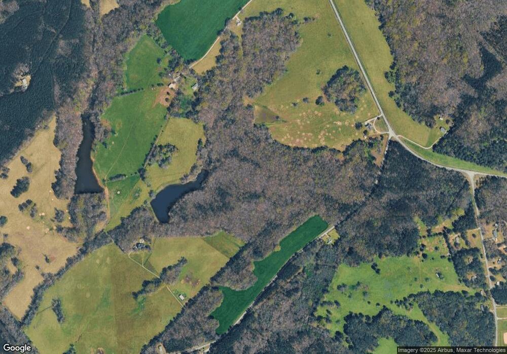
Map
Nearby Homes
- 0 Parks Mill Rd Unit 10429860
- 1280 Swords Rd
- 0 Parks Mill Ln Unit 10492081
- 1731 Blue Springs Rd
- 1111 Dockside Dr Unit 1111 Dockside Dr
- 1111 Dockside Dr
- 1130 Dockside Dr Unit 6
- 1130 Dockside Dr
- 1070 Cedar Grove Dr
- 1041 Holstein Rd
- 1301 Grayson Pointe Dr
- 1050 Cedar Grove Dr
- 1141 Kingston Rd
- 1171 Kingston Ave
- 1750 Reids Ferry Rd
- 6.70 +/- ACRES Cedar Grove Rd
- 1040 Twin Rivers Rd
- 1020 Twin Rivers Rd
- LOT 10 Sugar Creek Trail Unit LOT 10
- 0 Sugar Creek Trail Unit 10487317
- 1210 Alford Ln
- 0 Alford Ln
- 1431 Mount Zion Rd
- 1186 Shakerag Rd
- 3221 Parks Mill Rd
- 3221 Parks Mill Rd
- 2871 Parks Mill Rd
- 51 +/- ACRES Shakerag
- 2870 Parks Mill Rd
- 1031 Shakerag Rd
- 1181 Shakerag Rd
- 1360 Mount Zion Rd
- 1200 Shakerag Rd
- 0 Parks Mill Rd Unit 22 and 57 8418905
- 0 Parks Mill Rd Unit 8322585
- 0 Parks Mill Rd Unit 8319335
- 0 Parks Mill Rd Unit 22 and 57 8304964
- 0 Parks Mill Rd Unit 8298082
- 0 Parks Mill Rd Unit 5941807
- 0 Parks Mill Rd Unit 3116323