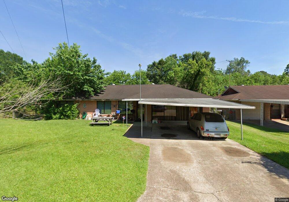
1231 Ansbury Dr Houston, TX 77018
Oak Forest-Garden Oaks NeighborhoodEstimated Value: $482,000 - $553,254
3
Beds
1
Bath
1,530
Sq Ft
$338/Sq Ft
Est. Value
About This Home
This home is located at 1231 Ansbury Dr, Houston, TX 77018 and is currently estimated at $517,814, approximately $338 per square foot. 1231 Ansbury Dr is a home located in Harris County with nearby schools including Garden Oaks Montessori, Frank Black Middle School, and Waltrip High School.
Ownership History
Date
Name
Owned For
Owner Type
Purchase Details
Closed on
Mar 9, 2005
Sold by
Tidwell Lavina Jeanette
Bought by
Gonzalez Rodolfo and Gonzalez April
Current Estimated Value
Home Financials for this Owner
Home Financials are based on the most recent Mortgage that was taken out on this home.
Original Mortgage
$107,280
Outstanding Balance
$58,264
Interest Rate
6.7%
Mortgage Type
Purchase Money Mortgage
Estimated Equity
$459,550
Purchase Details
Closed on
Oct 15, 1998
Sold by
Schwab Troy Wayne and Schwab Donna Louise
Bought by
Tidwell Rex Darrell and Tidwell Lavina Jeanette
Home Financials for this Owner
Home Financials are based on the most recent Mortgage that was taken out on this home.
Original Mortgage
$94,530
Interest Rate
6.73%
Mortgage Type
FHA
Create a Home Valuation Report for This Property
The Home Valuation Report is an in-depth analysis detailing your home's value as well as a comparison with similar homes in the area
Home Values in the Area
Average Home Value in this Area
Purchase History
| Date | Buyer | Sale Price | Title Company |
|---|---|---|---|
| Gonzalez Rodolfo | -- | American Title Co | |
| Tidwell Rex Darrell | -- | -- |
Source: Public Records
Mortgage History
| Date | Status | Borrower | Loan Amount |
|---|---|---|---|
| Open | Gonzalez Rodolfo | $107,280 | |
| Previous Owner | Tidwell Rex Darrell | $94,530 | |
| Closed | Gonzalez Rodolfo | $26,820 |
Source: Public Records
Tax History Compared to Growth
Tax History
| Year | Tax Paid | Tax Assessment Tax Assessment Total Assessment is a certain percentage of the fair market value that is determined by local assessors to be the total taxable value of land and additions on the property. | Land | Improvement |
|---|---|---|---|---|
| 2025 | $7,989 | $579,060 | $518,220 | $60,840 |
| 2024 | $7,989 | $571,738 | $518,220 | $53,518 |
| 2023 | $7,989 | $510,042 | $453,443 | $56,599 |
| 2022 | $9,613 | $462,470 | $388,665 | $73,805 |
| 2021 | $9,250 | $396,880 | $323,888 | $72,992 |
| 2020 | $9,562 | $394,858 | $323,888 | $70,970 |
| 2019 | $9,911 | $394,858 | $323,888 | $70,970 |
| 2018 | $6,942 | $401,088 | $323,888 | $77,200 |
| 2017 | $8,185 | $401,088 | $323,888 | $77,200 |
| 2016 | $7,441 | $401,088 | $323,888 | $77,200 |
| 2015 | $4,848 | $399,197 | $323,888 | $75,309 |
| 2014 | $4,848 | $265,396 | $194,333 | $71,063 |
Source: Public Records
Map
Nearby Homes
- 1235 Ansbury Dr
- 1226 Stonecrest Dr
- 1414 W 34th 1/2 St
- 1424 W 34th 1/2 St
- 3505 Golf Dr Unit D
- The Austin Plan at Park View
- The Bennett Plan at Park View
- 1119 W 30th St
- 1115 Gardendale Dr
- 3511 Autumndale Dr
- 1041 Gardendale Dr
- 3502 Autumndale Dr
- 2634 Couch St
- 2609 Bevis St
- 3607 Cedar Vista Ln
- 1413 W 26th St
- 2667 Shady Acres Landing
- 915 W 35th St Unit B
- 1635 Wilde Rock Way
- 1021 Wakefield Dr
- 1234 W 31st St
- 1239 Ansbury Dr
- 1230 W 31st St
- 1238 W 31st St
- 1242 W 31st St
- 1243 Ansbury Dr
- 1226 W 31st St
- 1236 Ansbury Dr
- 1222 W 31st St
- 1402 Stonecrest Dr
- 1230 Stonecrest Dr
- 1227 W 31st St
- 1303 Ansbury Dr
- 1302 W 31st St
- 1218 W 31st St
- 1406 Stonecrest Dr
- 1219 W 31st St
- 1307 Ansbury Dr
- 1222 Stonecrest Dr
- 1235 Stonecrest Dr