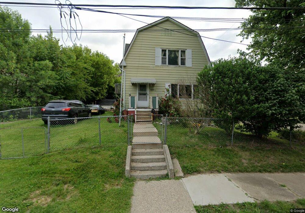
1231 Bennett Ave Flint, MI 48506
Eastside NeighborhoodEstimated Value: $37,000 - $77,729
3
Beds
2
Baths
1,824
Sq Ft
$29/Sq Ft
Est. Value
About This Home
This home is located at 1231 Bennett Ave, Flint, MI 48506 and is currently estimated at $52,243, approximately $28 per square foot. 1231 Bennett Ave is a home located in Genesee County with nearby schools including Potter School, Flint Cultural Center Academy, and WAY Academy of Flint.
Ownership History
Date
Name
Owned For
Owner Type
Purchase Details
Closed on
Oct 28, 2004
Sold by
Fannie Mae
Bought by
Williams Bonnie
Current Estimated Value
Purchase Details
Closed on
Oct 30, 2003
Sold by
Mortgage Electronic Registration Systems
Bought by
Federal National Mortgage Association
Purchase Details
Closed on
Sep 3, 2003
Sold by
Jones Thomas Ray
Bought by
Mortgage Electronic Registration Systems
Purchase Details
Closed on
Oct 11, 2000
Sold by
Ogle D G
Bought by
Jones Thomas Ray
Create a Home Valuation Report for This Property
The Home Valuation Report is an in-depth analysis detailing your home's value as well as a comparison with similar homes in the area
Home Values in the Area
Average Home Value in this Area
Purchase History
| Date | Buyer | Sale Price | Title Company |
|---|---|---|---|
| Williams Bonnie | $7,000 | Title First Agency | |
| Federal National Mortgage Association | -- | -- | |
| Mortgage Electronic Registration Systems | $13,437 | -- | |
| Jones Thomas Ray | $15,000 | Sargents Title Company |
Source: Public Records
Tax History
| Year | Tax Paid | Tax Assessment Tax Assessment Total Assessment is a certain percentage of the fair market value that is determined by local assessors to be the total taxable value of land and additions on the property. | Land | Improvement |
|---|---|---|---|---|
| 2025 | $709 | $16,700 | $0 | $0 |
| 2024 | $678 | $16,300 | $0 | $0 |
| 2023 | $680 | $13,600 | $0 | $0 |
| 2022 | $0 | $10,800 | $0 | $0 |
| 2021 | $652 | $10,000 | $0 | $0 |
| 2020 | $621 | $11,300 | $0 | $0 |
| 2019 | $453 | $10,400 | $0 | $0 |
| 2018 | $416 | $11,500 | $0 | $0 |
| 2017 | $409 | $0 | $0 | $0 |
| 2016 | $407 | $0 | $0 | $0 |
| 2015 | -- | $0 | $0 | $0 |
| 2014 | -- | $0 | $0 | $0 |
| 2012 | -- | $4,700 | $0 | $0 |
Source: Public Records
Map
Nearby Homes
- 1273 Broadway Blvd
- 1454 Delaware Ave
- 1529 Broadway Blvd
- 1445 Maryland Ave
- 1379 Washington Ave
- 1422 Leith St
- 1540 Illinois Ave
- 1629 New York Ave
- 1706 Wilberforce Cir
- 1518 Leith St
- 1710 Wilberforce Cir
- 1609 Ohio Ave
- 1526 Montana Ave
- 1721 New York Ave
- 1805 Bennett Ave
- 1623 Montana Ave
- 1730 Oklahoma Ave
- 1733 Oklahoma Ave
- 1724 Ohio Ave
- 1526 Arizona Ave
- 1227 Bennett Ave
- 1229 Bennett Ave
- 2211 Lyman St
- 1223 Bennett Ave
- 1234 Bennett Ave
- 1308 Bennett Ave
- 2212 Lyman St
- 1219 Bennett Ave
- 1306 Bennett Ave
- 2216 Lyman St
- 1302 Bennett Ave
- 2218 Lyman St
- 2119 Bennett Ct
- 2115 Lyman St
- 2221 Lyman St
- 2228 Riverside Dr
- 1213 Bennett Ave
- 2114 Lyman St
- 1302 Mabel Ave
- 2110 Lyman St
Your Personal Tour Guide
Ask me questions while you tour the home.