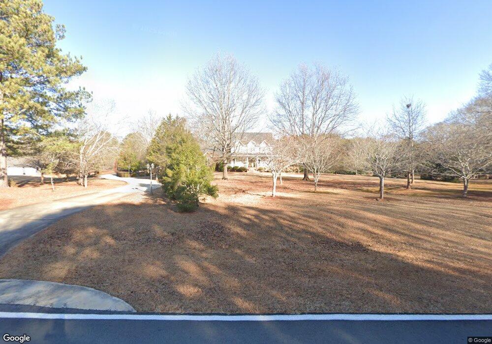
1231 Broadlands Dr Watkinsville, GA 30677
Estimated Value: $584,000 - $687,000
--
Bed
--
Bath
3,351
Sq Ft
$194/Sq Ft
Est. Value
About This Home
This home is located at 1231 Broadlands Dr, Watkinsville, GA 30677 and is currently estimated at $650,320, approximately $194 per square foot. 1231 Broadlands Dr is a home located in Oconee County with nearby schools including Oconee County Elementary School, Oconee County Primary School, and Oconee County Middle School.
Ownership History
Date
Name
Owned For
Owner Type
Purchase Details
Closed on
Jan 25, 2013
Sold by
Kittle Steven M
Bought by
Kittle Steven M and Kittle Mary
Current Estimated Value
Home Financials for this Owner
Home Financials are based on the most recent Mortgage that was taken out on this home.
Original Mortgage
$258,000
Outstanding Balance
$50,870
Interest Rate
3.38%
Mortgage Type
New Conventional
Estimated Equity
$599,450
Purchase Details
Closed on
Jul 16, 1999
Sold by
Campbell James P
Bought by
Kittle Steven M
Create a Home Valuation Report for This Property
The Home Valuation Report is an in-depth analysis detailing your home's value as well as a comparison with similar homes in the area
Home Values in the Area
Average Home Value in this Area
Purchase History
| Date | Buyer | Sale Price | Title Company |
|---|---|---|---|
| Kittle Steven M | -- | -- | |
| Kittle Steven M | $38,000 | -- |
Source: Public Records
Mortgage History
| Date | Status | Borrower | Loan Amount |
|---|---|---|---|
| Open | Kittle Steven M | $258,000 |
Source: Public Records
Tax History Compared to Growth
Tax History
| Year | Tax Paid | Tax Assessment Tax Assessment Total Assessment is a certain percentage of the fair market value that is determined by local assessors to be the total taxable value of land and additions on the property. | Land | Improvement |
|---|---|---|---|---|
| 2024 | $3,140 | $225,175 | $36,000 | $189,175 |
| 2023 | $3,238 | $215,840 | $36,000 | $179,840 |
| 2022 | $3,716 | $194,390 | $36,000 | $158,390 |
| 2021 | $4,010 | $180,052 | $36,000 | $144,052 |
| 2020 | $3,971 | $173,256 | $36,000 | $137,256 |
| 2019 | $3,854 | $168,203 | $36,000 | $132,203 |
| 2018 | $3,903 | $166,771 | $36,000 | $130,771 |
| 2017 | $3,828 | $163,596 | $36,000 | $127,596 |
| 2016 | $3,805 | $162,622 | $36,000 | $126,622 |
| 2015 | $3,817 | $162,823 | $36,000 | $126,823 |
| 2014 | $3,778 | $157,582 | $36,000 | $121,582 |
| 2013 | -- | $167,723 | $36,000 | $131,723 |
Source: Public Records
Map
Nearby Homes
- 1030 Rossiter Ct
- 1040 Rossiter Ct
- 2041 Simonton Bridge Rd
- 2061 Simonton Bridge Rd
- 2190 Simonton Bridge Rd
- 2240 Simonton Bridge Rd
- 1061 Riverside Dr
- 1682 River Bank Ln
- 1250 Calls Creek Cir
- 1010 Overton Way
- 1051 Simonton Way
- 1320 Katie Ln
- 1145 Watson Ln Unit E3
- 1311 Watson Ln Unit E8
- 1171 Watson Ln Unit E4
- 1195 Watson Ln Unit E5
- 1170 Watson Ln Unit F5
- 1211 Broadlands Dr
- 1020 Jester Place
- 1030 Jester Place
- 1281 Broadlands Dr
- 1181 Broadlands Dr
- 1011 Station Dr
- 1160 Castle Dr
- 1170 Castle Dr
- 1320 Broadlands Dr
- 1150 Castle Dr
- 1020 Sidney Cir
- 1060 Broadlands Dr
- 1021 Jester Place
- 1360 Broadlands Dr
- 1031 Station Dr
- 1010 Station Dr
- 1190 Castle Dr
- 1120 Castle Dr
- 1161 Broadlands Dr
- 1171 Castle Dr